The weather of early February 2020 has been so much better for getting out. It’s still quite gross underfoot in places but the ground has dried out enough to make a long walk less of an assault course. So with a weather forecast of sunshine, a light NE wind and single figures C, I wanted to get back to Sussex to complete another section of the South Downs Way (SDW), an accidental inspiration borne of having completed a couple of sections previously. The object is to use public transport where I can to get there and back (home in London) in a day and complete a decent walk in between. In this instance 15.5 miles from Pyecombe to Southease Station. From Clapham Junction I took the train to Hassocks Station then a quick 5 min walk to the A273 to catch a bus to Pyecombe. In just over an hour and I was at the foot of the Downs.
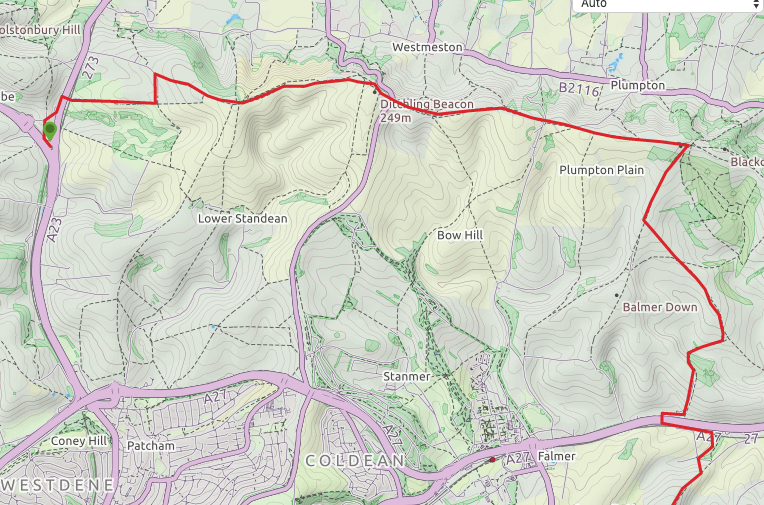
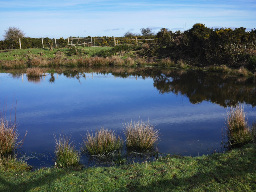
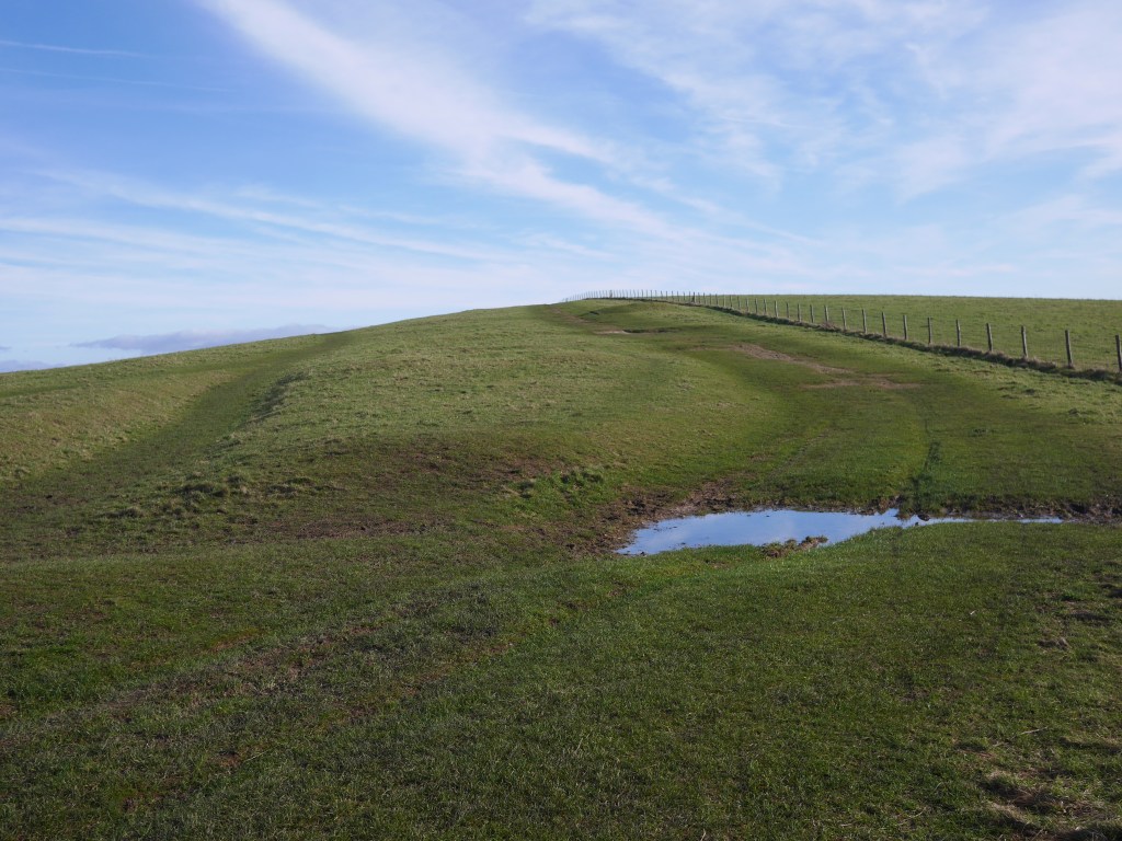
The walk (map below). You have to retrace back up the A273 for just over half a mile in order to pick up the SDW and the road is busy with no pavement so better to walk round through Pyecombe village and use the dedicated path to the W of the road until you cross E to start the walk. The first mile or so is steadily uphill through a manicured golf course before the path turns N through a stables then up to the scarp path where you can see the two ‘Clayton’ windmills. The path turns sharp right and continues E and opens up as do the magnificent views (weather permitting). There are Tumuli to the left and right and a couple of ‘dew ponds’ – man made pools, traditionally lined with straw, clay and Lime (to deter worms from perforating the lining) which date from medieval times, designed to harvest rainwater for livestock in an otherwise parched landscape.
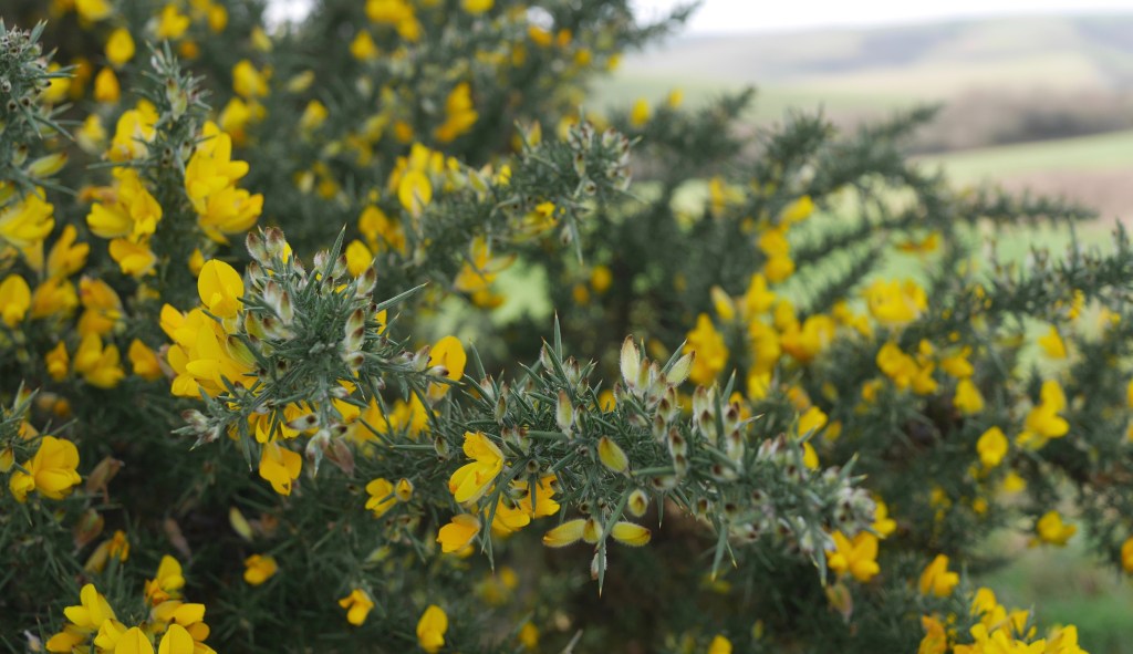
The path continues E towards Ditchling Beacon, one of the highest points of the Downs. Noticeable in the surroundings as an area of scrub which is being grazed back into chalk grassland. The Beacon was gifted to the National Trust by a local family in memory of their son, an RAF pilot lost in the English Channel during the Battle of Britain of 1940. I cycled (actually I pushed my bike) up here when taking part in the London to Brighton Bike Ride and remember it as the toughest part of the route before becoming a welcome downhill freewheel to the coast.
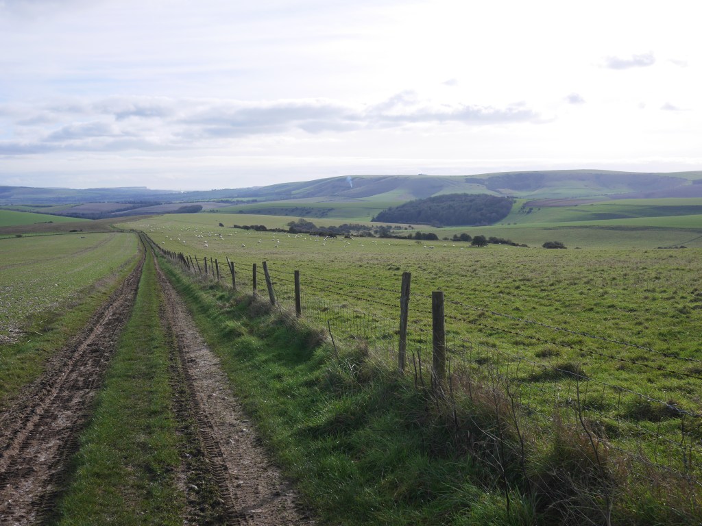
For a couple of miles beyond Ditchling Beacon the path retains a wide open feel, more ride than path and occasionally Skylarks can be heard as they hover above more hospitable areas of field stubble, in what incredibly has become an ever more unfriendly zone for them. Skylarks are on the Red List of threatened species, as changes in farming practices (including the use of herbicides to eliminate weeds which provided the Skylark with over-Wintering food) and the decline in habitat has led to a 90% decline in just 30 years. I find it incredible that we haven’t addressed this issue of erosion of habitat during an extended period of awareness of the problem. The British Trust for Ornithology has more information about the plight of the Skylark and has launched an appeal to help farmland birds. This helps explain why my memory of Skylark song as a constant backdrop when walking the Downs in the early 1970s isn’t fanciful nostalgia.
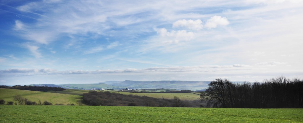
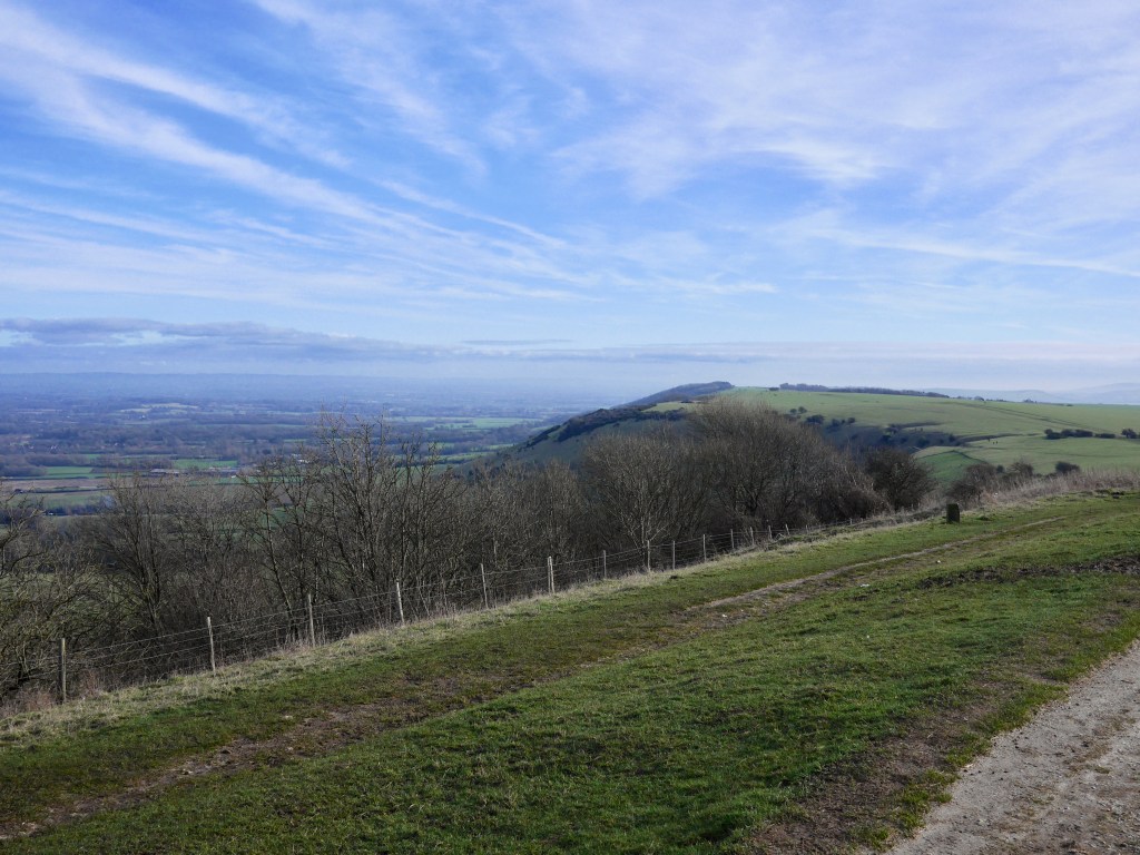
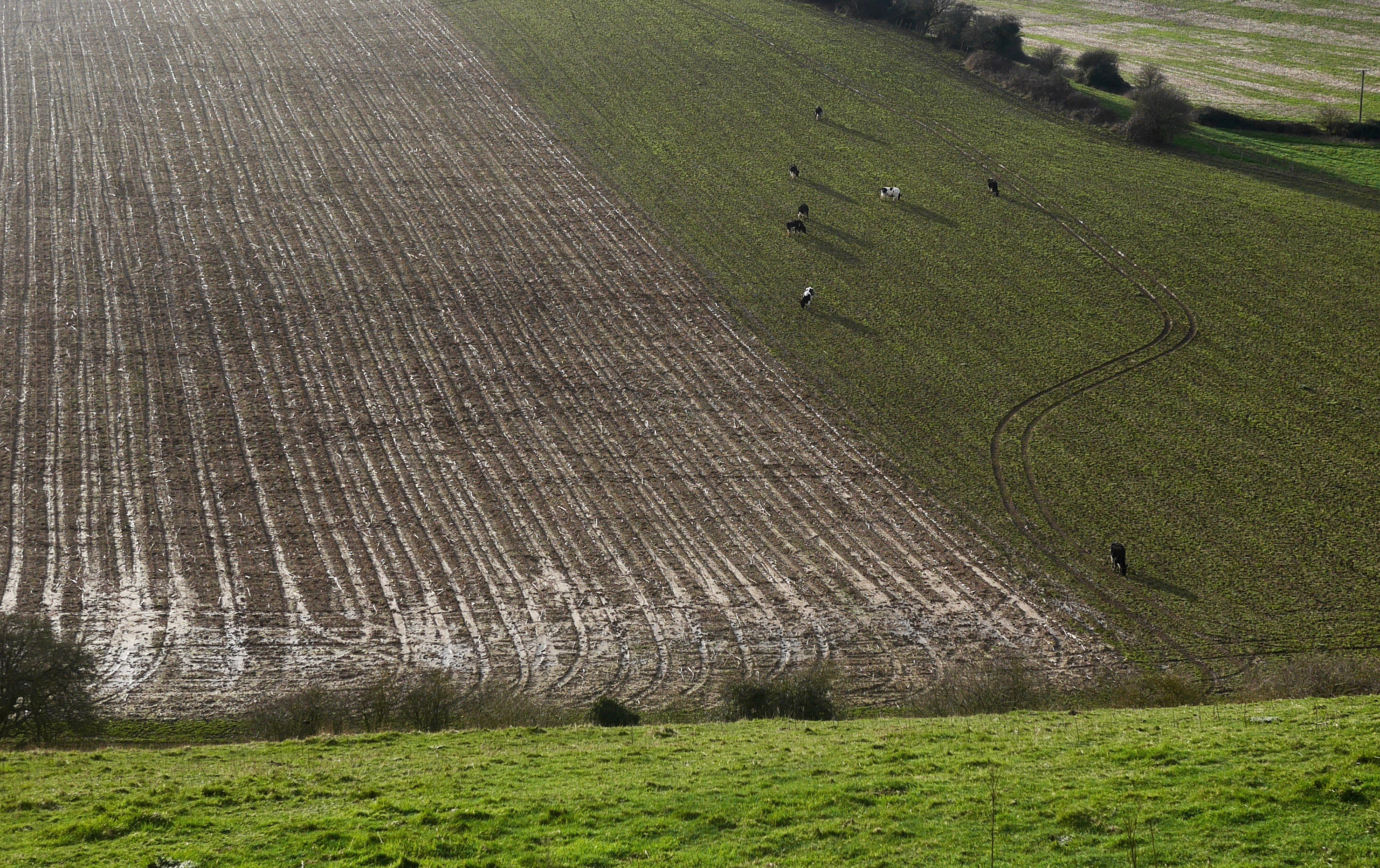
From Plumpton Plain views of the Ouse valley and coast, including the Seven Sisters cliffs, open up together with views of the Downs beyond the Ouse marching E towards Alfriston. The path soon turns right heading S away from the scarp slope into the rolling dip slope of the South Downs. The landscape becomes a patchwork of largely arable fields with some grazing and the path less busy as it heads away from the obvious route towards Lewes.

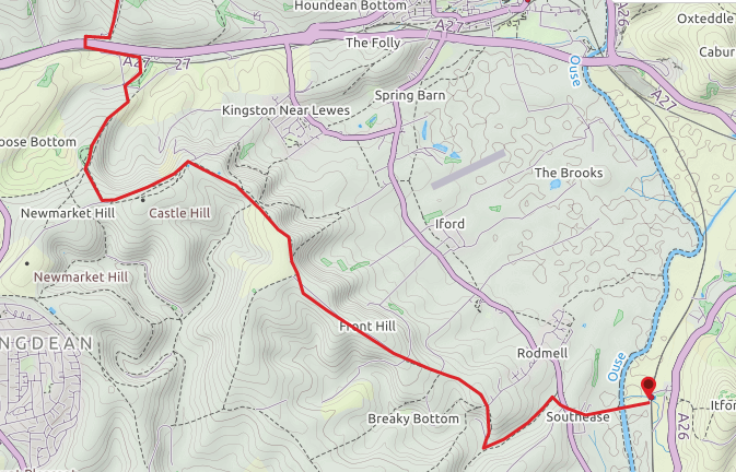
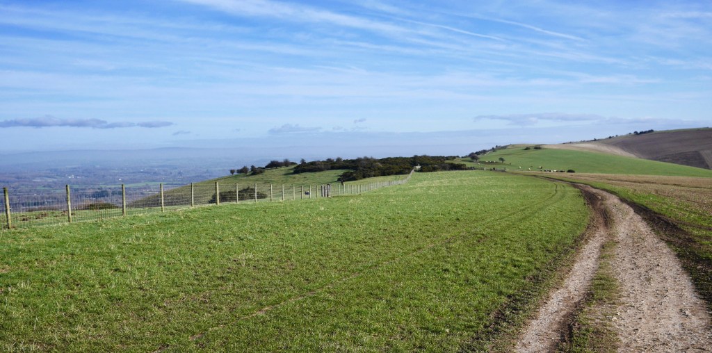
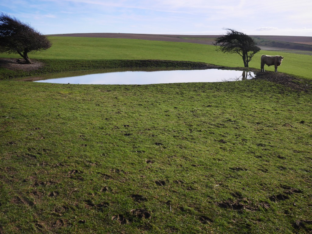
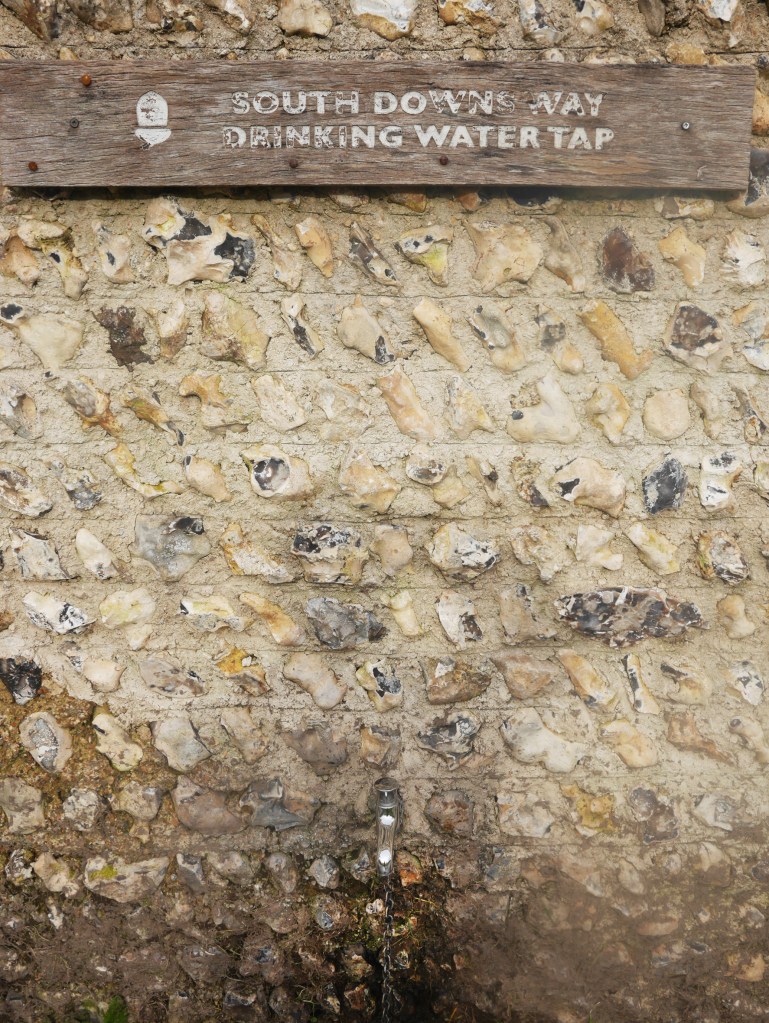
The path carries on roughly S before reaching the busy A27. There is free water by Housedean Farm (and a campsite) before the path crosses the bridge over the road then continues parallel to it, backtracking past a foot tunnel on the right before going under a second bridge/tunnel a few hundred yards further on. Thankfully once through this the sound of the road diminishes as you begin to climb past a stretch of wood to the left. The route emerges onto the edge of a large bowl, the edge of which you trace around – always climbing to nearly 600ft /190m. The views become expansive as you pass the Dew Pond at the top.

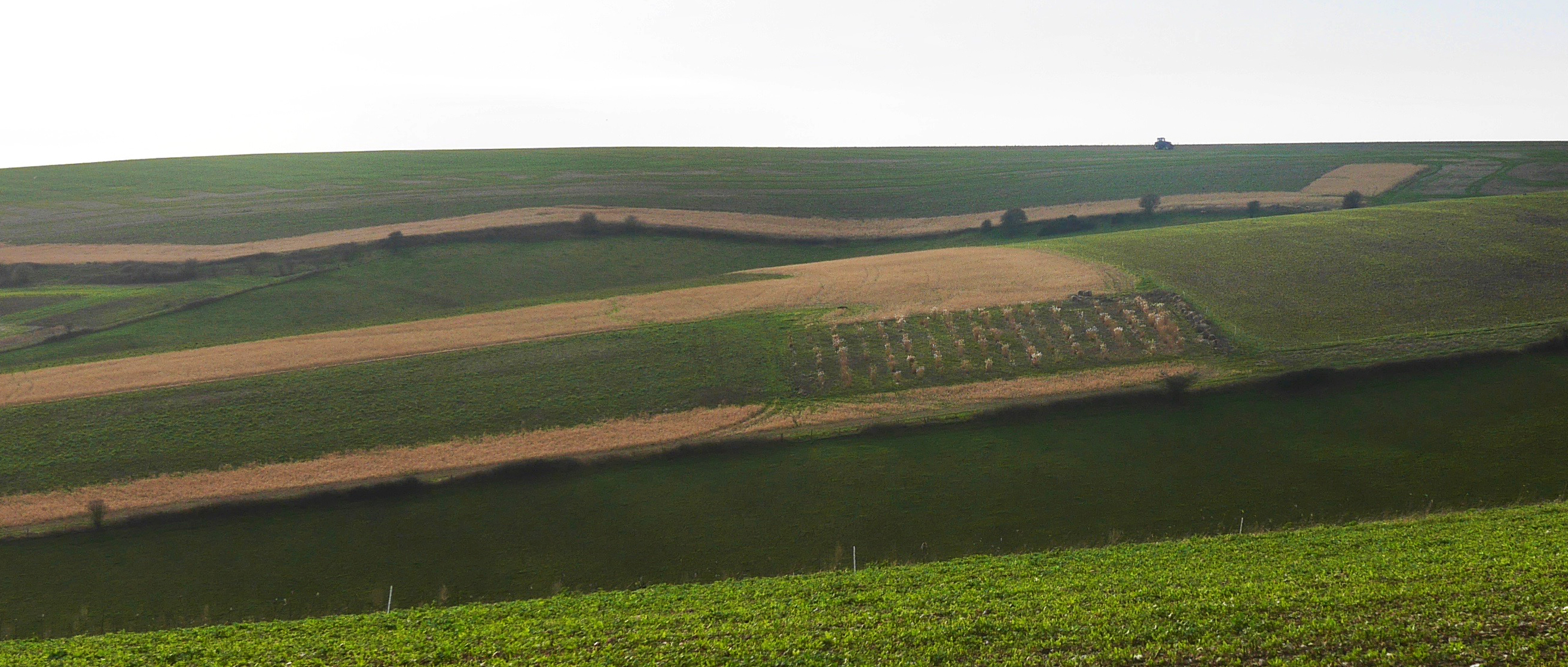
For the views alone this is a lovely and quiet stretch of the Downs as it heads SE but after a couple of turns the path becomes a mile long concrete road between ploughed fields running downhill and the going is tough on weary feet. Beyond this the path enters a field, then a short section of fenced path past houses* and enters another field above a farm, the path twists round the hill descending to join a farm track heading NE. *An option (though not following the SDW) would be to follow the sign to ‘the pub’ in Rodmell. Very tempting and you can follow the minor road from there and rejoin the SDW at Southease.
After about half a mile the path leaves the scrappy track and climbs to the right, crossing a road entering Southease, a hamlet with a beautiful church with 12thc tower and small green with a couple of houses. From Southease the road heads E, crosses the River Ouse and reaches Southease Station from which you can get to Lewes in minutes or Brighton in under half an hour. Trains run every hour at about five past the hour until late evening. From here I caught the 16.05 to Lewes and was at Clapham junction in less than 90 minutes.
It’s a long walk with 1600 ft of ascent. I wore light boots (Salomon X Ultra 3 mids) which, paired with Darn Tough socks, perform brilliantly on fair paths. The weather was good and my Montane Power Up hoodie over a Lowe Dryflo base layer worked for most of the day until the afternoon when it cooled and I swapped the hoodie for a Marmot Alpha 60 jacket. As it wasn’t too cold I wore a pair of Bergans Torfinnstind softshell trousers which are surprisingly wind resistant for their light weight and have a close alpine cut at the ankle which stretches over the top of the boot. Outside of Winter these are an excellent, comfortable packable option which wick really well.
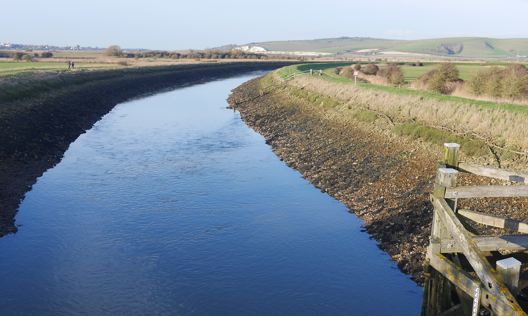
The River Ouse looking N 
Southease Station