Another bright January day and the opportunity to get out of London by train and walk a section of the South Downs Way (SDW) National Route for just over 11 miles, from Amberley Station to the village of Steyning allowing about five hours with a stop for lunch en route.
My aim is to walk the entire length of the SDW in day sections of between 9 and 19 miles using public transport (whenever possible) with London as my base. In this instance returning by bus from Steyning to Pulborough station (on the Amberley line) thence home.
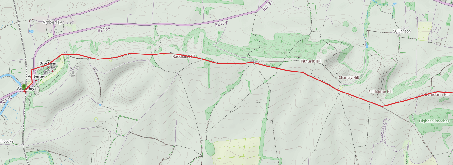
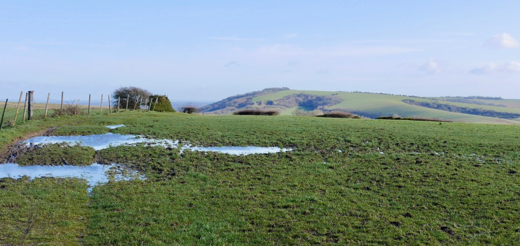
The forecast was for 5c with a cold SW wind and no rain. Perfect! The direct train from London takes just over an hour and a quarter. The walk (map below) starts by exiting the station and walking N up a busy road for a few hundred yards before turning E up a lane called ‘High Titten’. This is metalled for about a mile before the SDW takes a left and turns into a steep chalk and flint footpath. This path opens up (pic below) as it climbs between chalk grassland and I heard my first Skylark, for me the icon of the Downs. Being January and being wet chalk the path can be muddy and slippery and the path is restricted between fences (though there is a drier field to the left as an alternative, parallel path with stiles at each end – which I realised too late). The path runs past Rackham Hill (633 ft – 193m) before continuing through a spinney then between more fences and ploughed fields for another few miles.
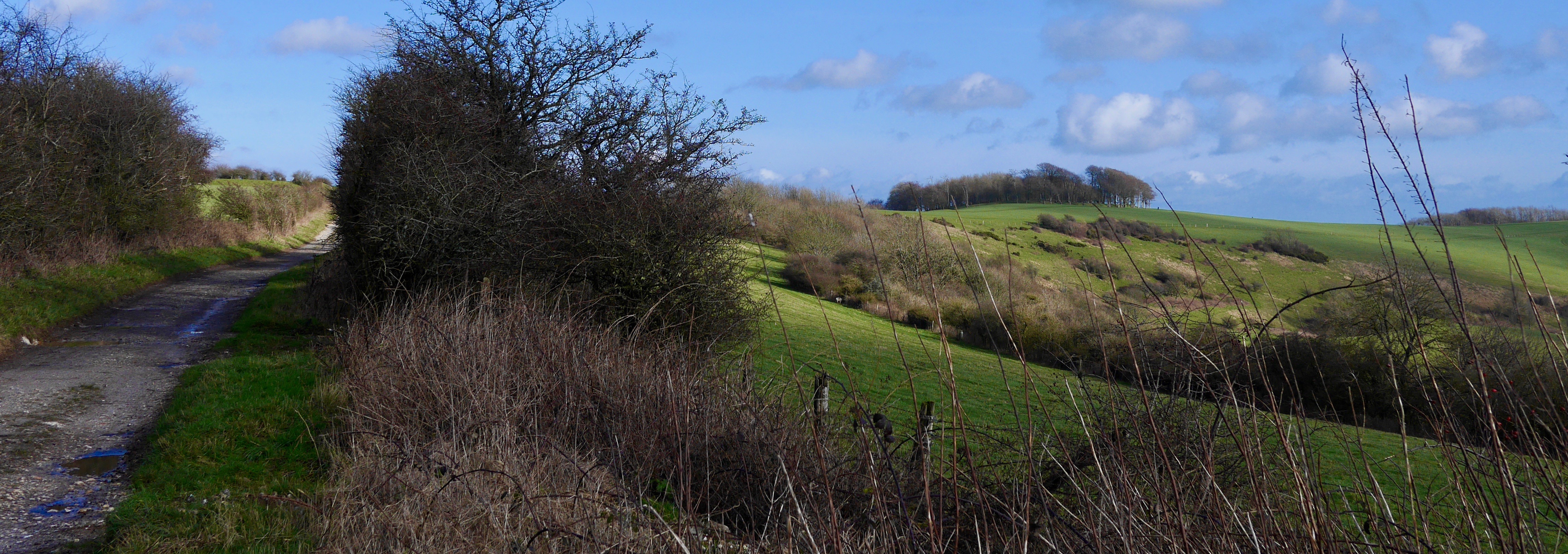
For some of the first section the land is cultivated intensively leaving a mean, fenced, narrow strip for the SDW with no sense of it being a downland landscape other than the ploughed flint and chalk to left and right. Work is being done to help the Downs – since its having become a National Park in 2010 – but to quote the South Downs National Park website ‘much of the chalk grassland habitat in the National Park has been lost, and it now only makes up 4 percent of the National Park. During World War II many of the chalk grassland sites in the South Downs were ploughed and have since remained in cultivation.’ It’s tragic that in a National Park so little is being done to reinstate natural habitat in which threatened and native species can thrive. I understand that prior to going under the plough the land was still farmed but the cost of this has been the threat to a set of flora and fauna wholly reliant on chalk grassland. The South Downs aren’t unique as an area of grassland on chalk which has suffered badly from loss and fragmentation in the UK. As a national resource we must do more to return some of our most iconic and sensitive landscapes to a less intensively farmed, biodiverse, chemical free environment. There is work being done by National bodies and land owners who care such as the Knepp Estate owner Charle Burrell in a ground breaking rewilding project adjacent the SDW.
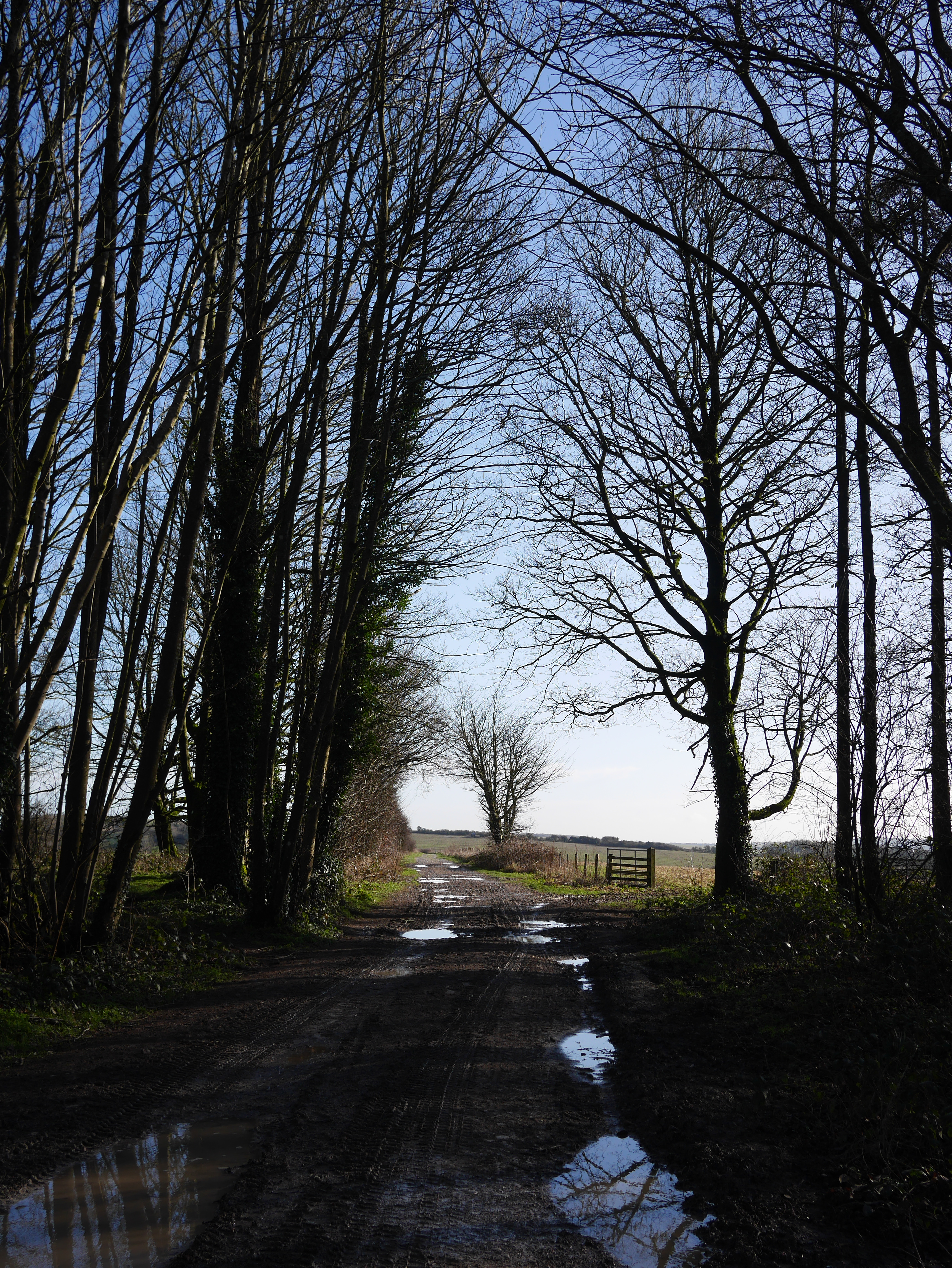
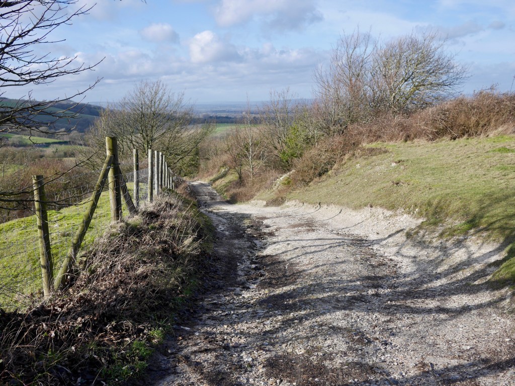
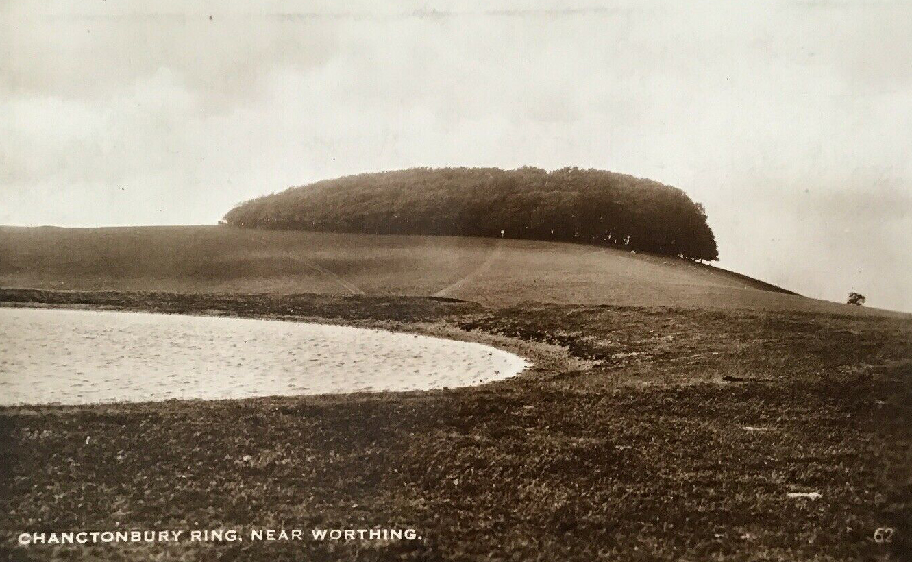
By Kithurst Hill the path opens up a little and is more more grassland and thorn and gorse as margins to the wider path. In a small area of heath I saw a pair of Stonechats and more Skylarks. The going is easy past the car park at the Chantry Post then uphill to wide open views. The path continues through farmland – a quagmire in places after the Winter’s rain, to Barnsfarm Hill, from which you can see ‘Black Down’, the highest point in the SD National Park some 13 m to the NW. It also offers a first glimpse of Chanctonbury Ring (pic below). The path descends towards a wood above the A24. The path turns into a lane (the signpost suggests going down a steep hill to the left to the N but I chose to stick to the metalled road (Glaseby Lane) given the conditions underfoot). There is also a welcome public water point on the lane opposite a few houses as you near the slip road to the A24.
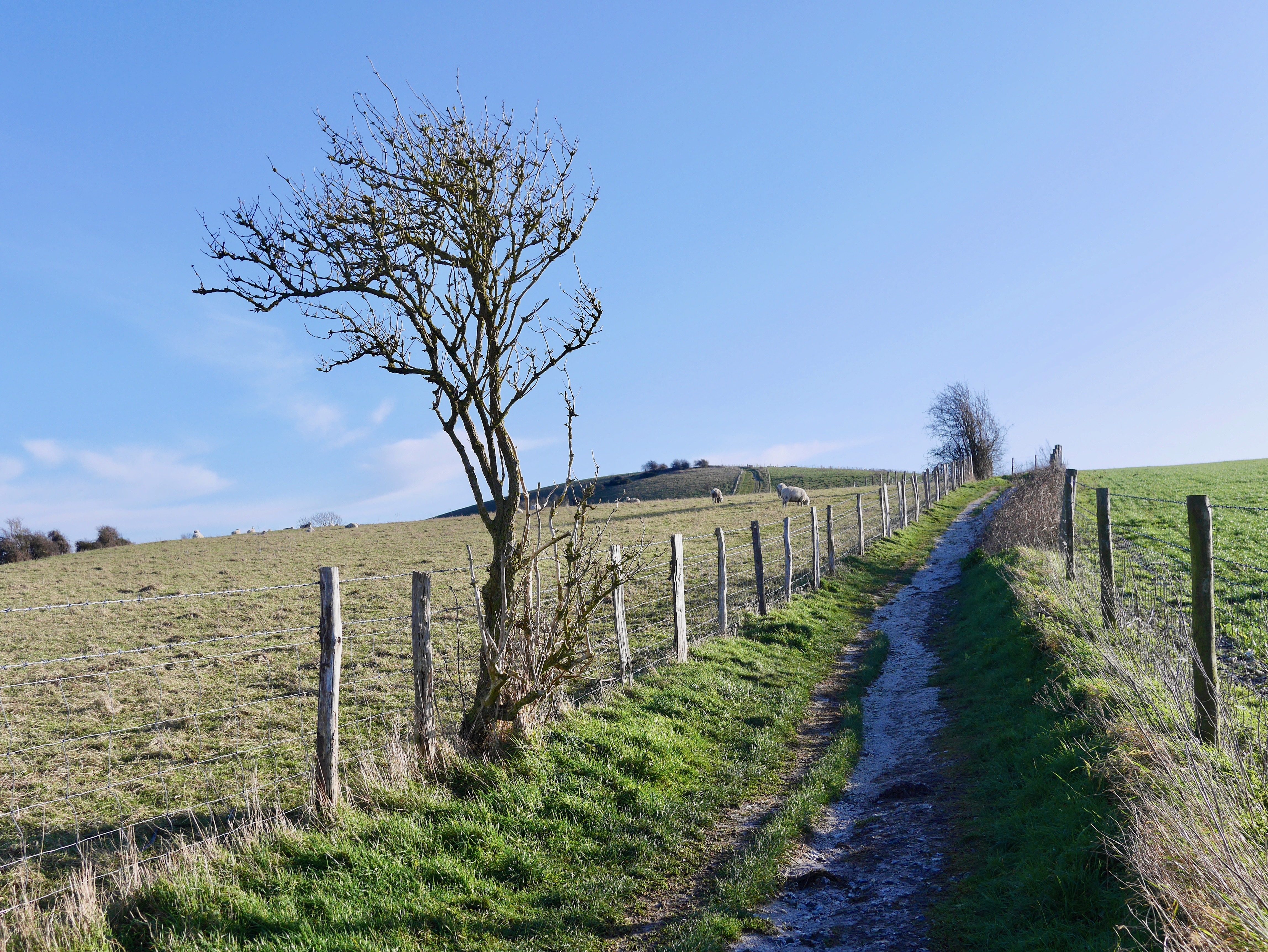
Having crossed the busy A24, the path climbs and twists steeply past small quarries and spinneys of Sycamore, Hazel and thorn (pic below) before joining a path running NE which in turn opens out into lovely open walking as you approach Chanctonbury Ring.

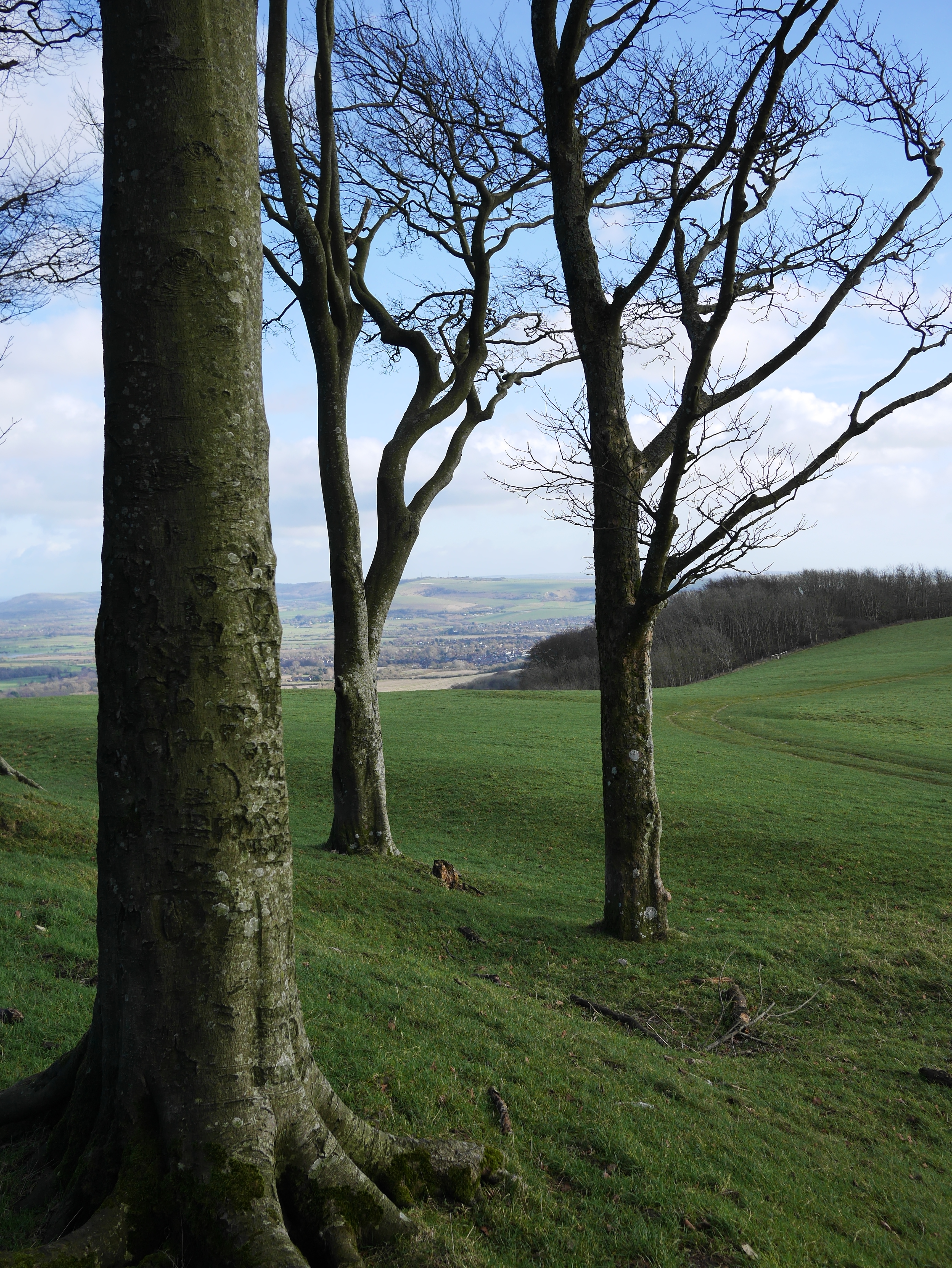
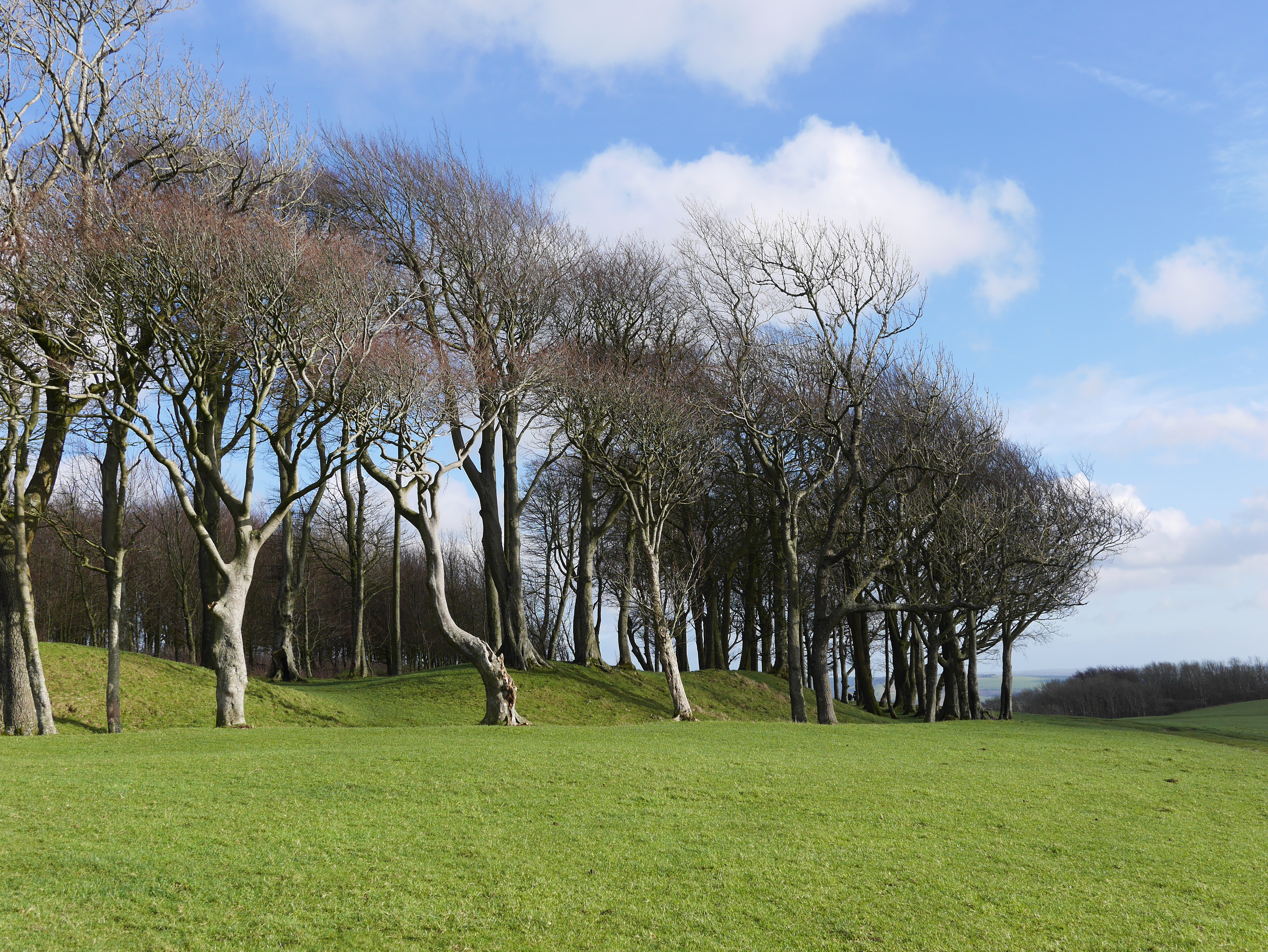
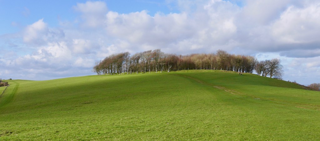
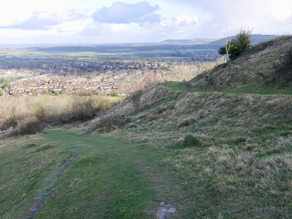
I love this place having spent nights camping here in its spooky earthworks. Its prominent setting and form is just so pleasing. As an important point in the SD ridgeway the ring ditch was built in either the Bronze and Iron ages perhaps for defence or to coralle livestock and later hosted Romano-British temples. There are many associated structures such as barrows in the area suggesting the site was of ritual significance. The outer ring was planted with Beech trees in the mid 18c and the interior planted in the early 20c which by the mid 20c further enhanced the amazingly distinctive living mound which could be seen from miles around. The storm of 1987 destroyed many of the trees leaving an unrecognisable mess. Since then the Ring has been replanted and the canopy is already beginning to resemble its former self. You can just see Steyning in the river Adur valley below, about four miles distant, from the E end of the Ring (pics below).
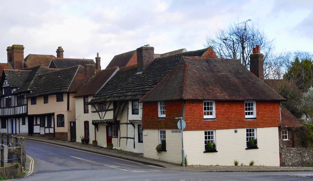
Leaving Chanctonbury Ring, the path is pleasant level, easy walking with great views, after a mile and a half there are options. Leave the SDW at the path signposted ‘Steyning 1.2m’ or continue on the SDW as it turns S then leave the SDW and double back NE towards the village (this option indicated on map). I took the former option and regretted it. This route follows the gnarly edge of the woodland hugging the scarp slope and the going was muddy, narrow and annoying. Better when dry I’m sure but not on a wet January afternoon. My route eventually joined the alternative route above the village. Then there is a steep descent into the streets leading to the centre of Steyning.
Steyning is small but a really attractive destination with everything you need after an eleven mile walk. I took some cash out at the ATM in the Co-op and had a couple of pints of local Sussex bitter at the Chequer Inn (which has a Pool table). If going back to London, there is a bus service which takes you to Pulborough Station in about 35 minutes, leaving in late afternoon from the prominent clock tower in the High Street at 15 past the hour (last service 17.15) which connects with the London train with four minutes to spare (though the service is regular – approx. every 30 minutes) if delayed.
I loved parts of this walk particularly the wide spaces of Chanctonbury Ring but the going was nasty in places so suggest boots and poles (for balance) vital in the Winter. It was cold and windy but sunny and I found a base layer, decent mid layer, wind shirt and selection of hats and gloves worked well. I can’t wait to re-visit this walk on a dryer, warmer day.
Links to conservation info and a few of the organizations helping to preserve, maintain and reinstate chalk grassland:
Plantlife
Magnificent Meadows
Royal Society for the Protection of Birds
The National Trust (South Downs)
The National Trust (What’s so special about chalk grasslands)
The Wildlife Trust (Sussex)