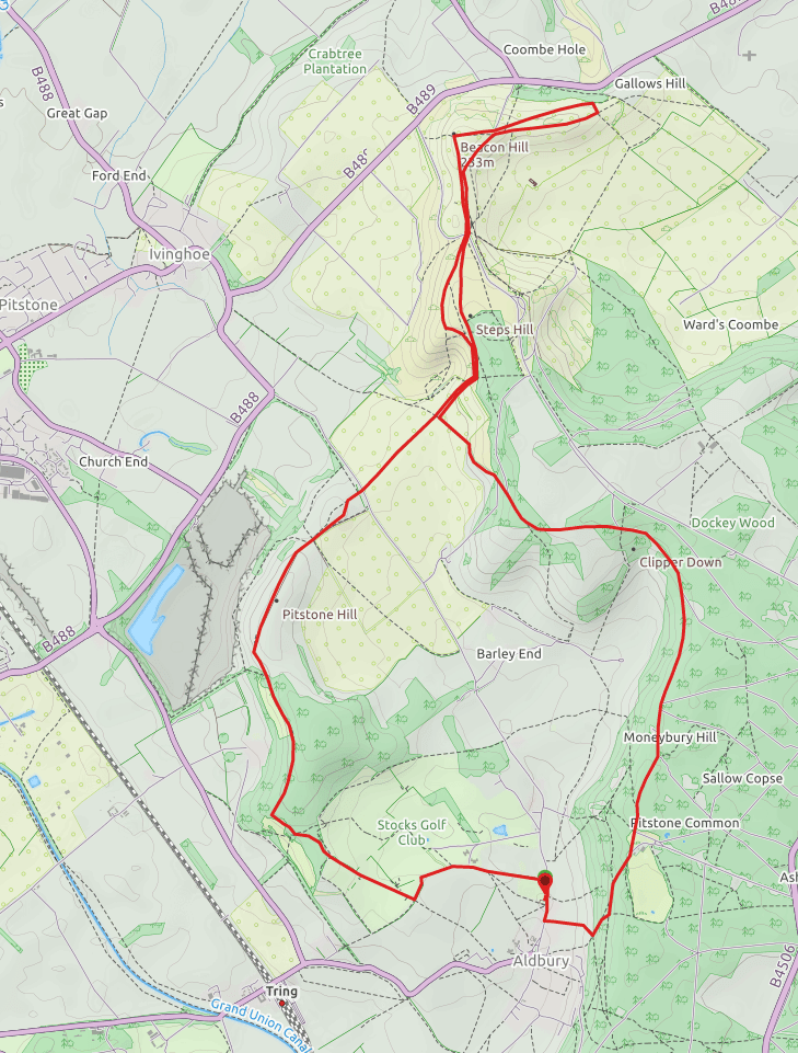
The challenge for the Londoner wanting a decent day hike is being able to find real countryside and decent walking within striking distance of the city. To the South there are the North and South Downs and to the North, the Chilterns, a beautiful area of woodland and open chalk ridge with far reaching views. I had to drive through the area so took my boots and stopped en route to take in an 8.5 mile walk that gave me a real sense of the area, its flora, fauna, and the stunning landscape (map below).
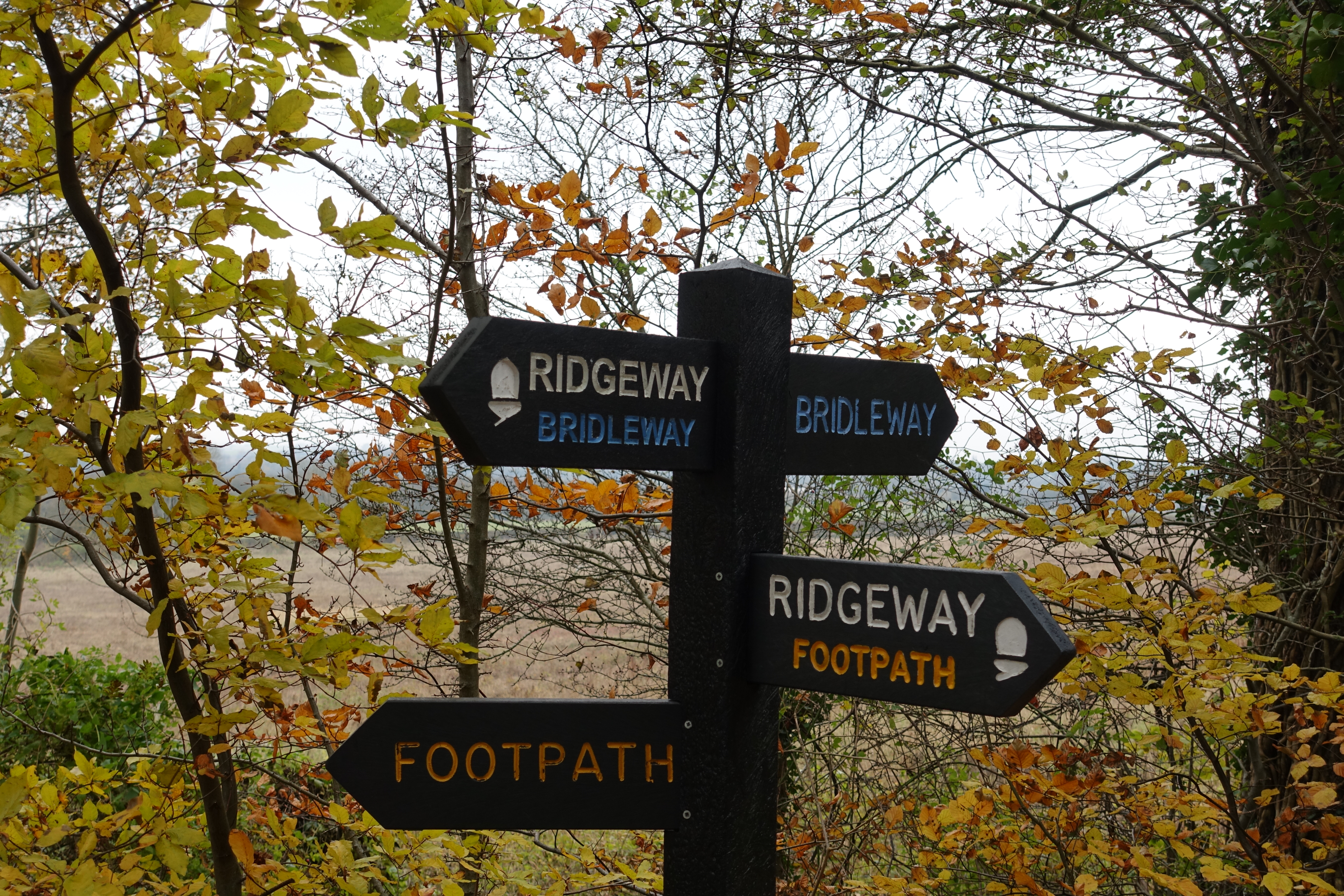
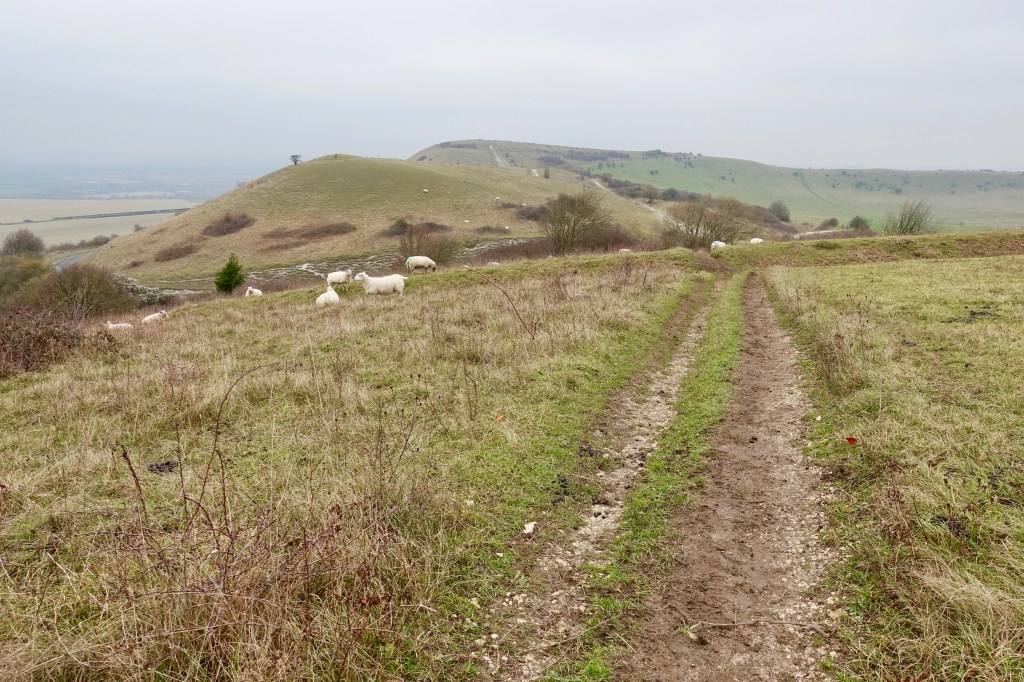
I parked in the car park in the pretty village of Aldbury (which has a pub) a mile or so to the East of Tring railway station and walked N on the small road for a couple of hundred metres before taking the well defined track/footpath to the W then SW. This path briefly becomes the ‘Hertfordshire Way’ before meeting the magical ‘Ridgeway‘. Turn right N onto the Ridgeway along another well defined and signposted track. I love the prehistoric Ridgeway, stretching from Wiltshire to Buckinghamshire following an ancient track, you are walking in the 5,000 year old footsteps of fellow travellers.
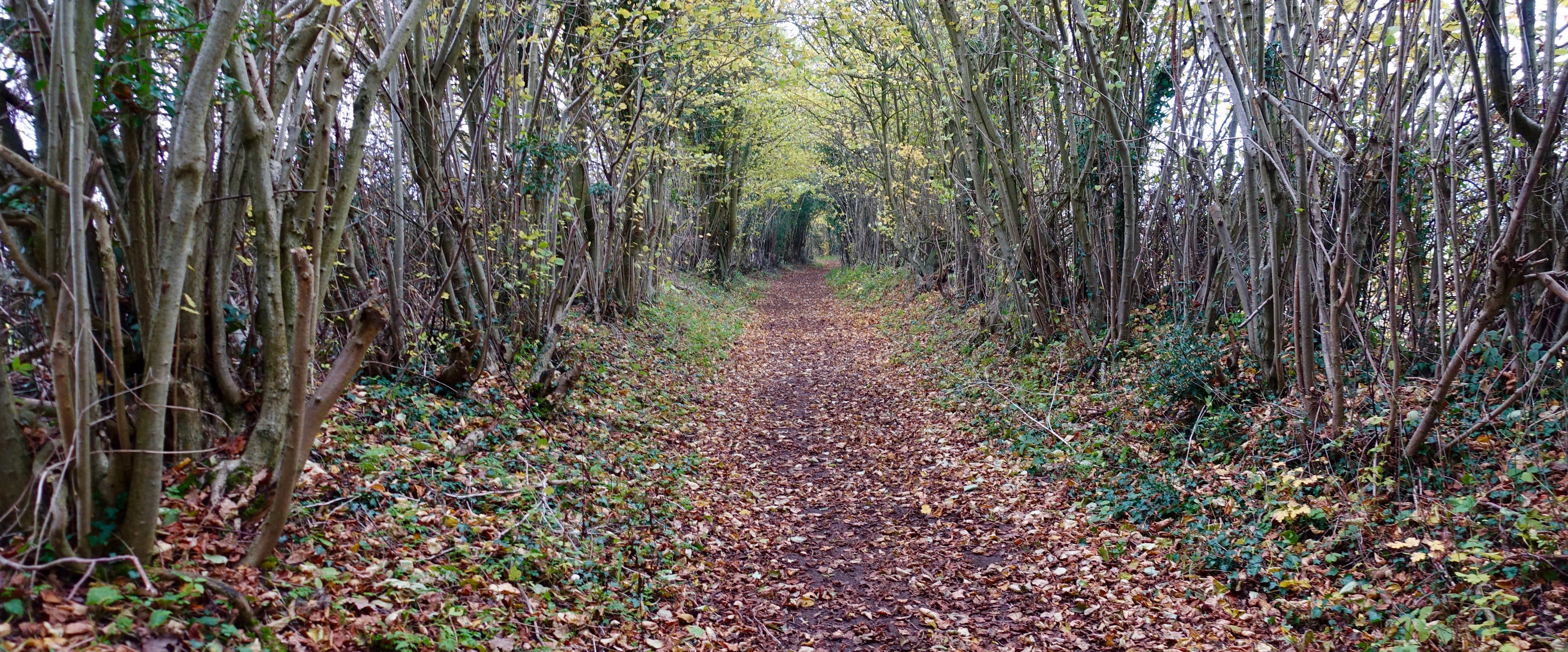
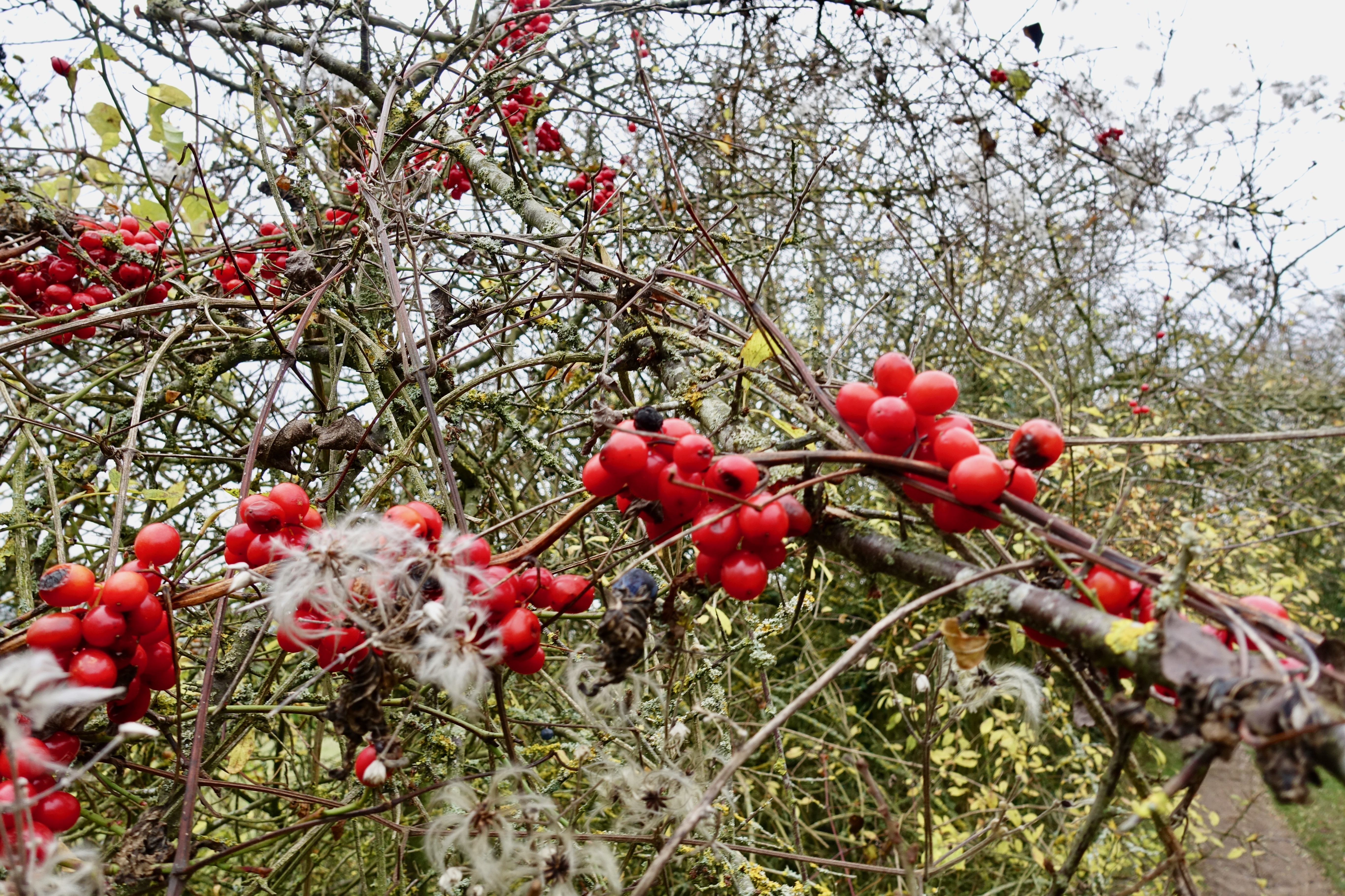
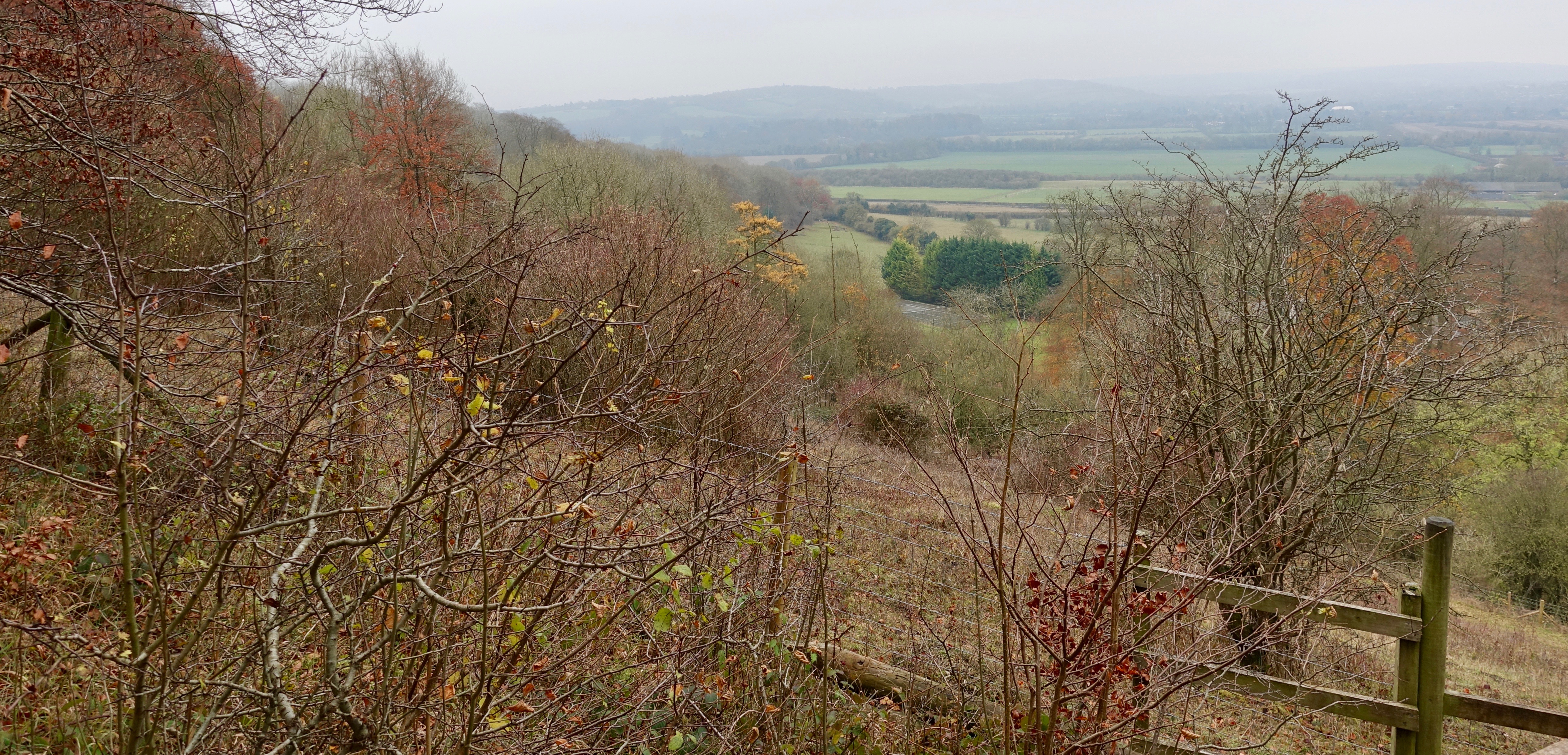
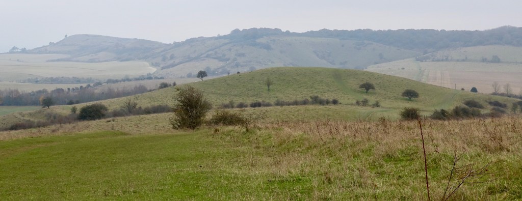
The flora lets you know this is now a downland environment, Wild Clematis ‘Travellers Joy’ climbing through Blackthorn hedges. The track enters woodland ‘Aldbury Nowers’ and climbs to the ridge edge. Just before reaching ‘Pitstone Hill’, the route turns NE having emerged into pleasing, open downland country with great views to the N.
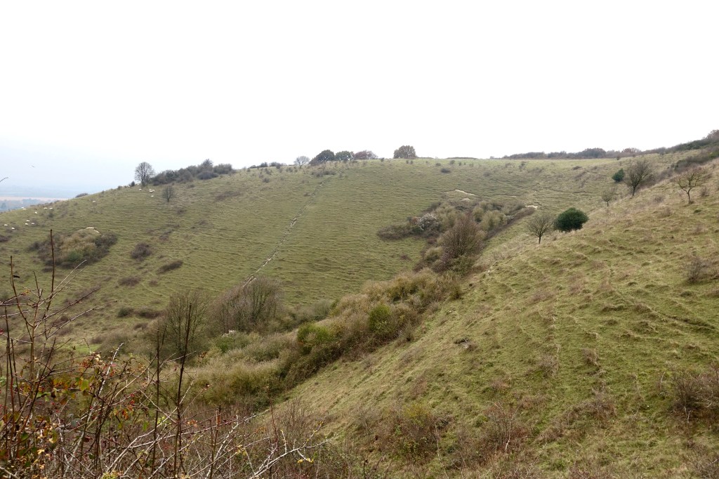
From here you get to see Ivinghoe Beacon. Still following the Ridgeway, the route descends to cross a minor road before rising into the pleasing shape of Incombe Hole and partially wooded Steps Hill.
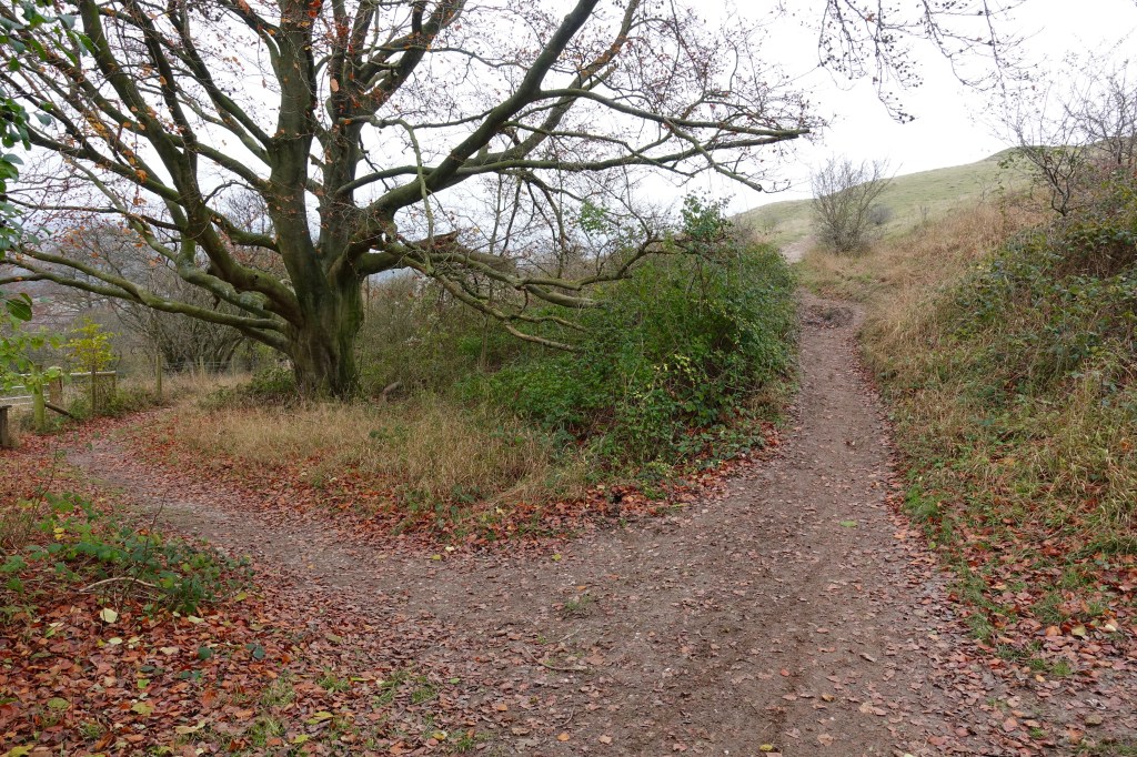
The route turns N and descends again to cross a minor road before rising up white, worn chalk paths that take you to the trig point of the Beacon (233m/764ft) where the views are really expansive, a vantage point that has been enjoyed for millennia.
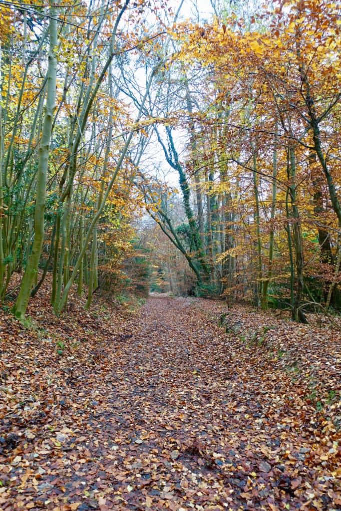
Walking East to Gallows Hill you get the real space of being at height with a panorama to enjoy. I had lunch here before roughly tracing my steps (there are options) returning to Incombe Hole. As the path begins to flatten take the path to the left. This rises slowly along the edge of a wood before you bear left and pass some houses and continue towards Duncombe Terrace. The route becomes a woodland walk through the heart of the Ashridge Estate, 5,000 National Trust acres which encompasses the Beacon and the remainder of the route back to Aldbury. It’s an easy level track which turns to the S before reaching the ‘Bridgewater Monument which you can climb up (172 steps). There are also a visitor centre, food stop here and loos. With the centre to your left walk past the monument into more woodland, then bear right where there are a couple of paths to the W back to Aldbury, the first to the car park, the second to the centre (aka the pub).
I walked this on a blustery November day and while there were some muddy bits, it’s a generally dry route with decent paths. There is a 45 minute train from Euston to Tring station which is just a few hundred metres from the Ridgeway path below Aldbury Nowers. I use ‘Trainline‘ to buy tickets, they offer decent discounts and a decent app to make the process easier when collecting tickets.