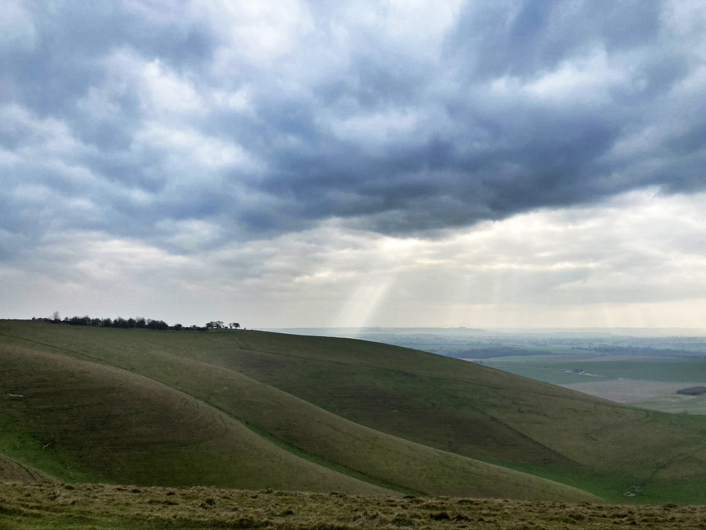
The view South over Pewsey Vale from Milk Hill
I first saw the Wansdyke a few weeks ago when I took a day out around Avebury with a friend on a nine mile walk which took in the Wiltshire downs and Avebury Village. I was struck by the scale of the enterprise, a 35 mile long defensive dyke and rampart earthwork running east to west – snaking through Wiltshire and Somerset, probably constructed after the Romans left Britain as a defence against invaders from the north, possibly the West Saxons encroaching from the upper Thames Valley. With a bit of reading I decided to walk a longer stretch of the ‘Wansdyke’ (the name comes from from ‘Woden’s Dyke’) and also take in a section of the folded Pewsey Downs which we had seen disappearing invitingly to the East.
This walk is a ten and a half mile circuit through contrasting woodland and downland with magnificent views to the north and south with short bus journeys from and back to Pewsey village and train station (map below). There is a car park at Clatford Bottom to the E of the Woods.
I took the 9.30 train from London Paddington to Pewsey station, the journey taking an hour. I had booked ahead and bought a cheap return ticket so I could travel on any train out of peak times. It’s the best approach in case you miss a specific train. In Pewsey I had time to kill as my bus, the X5 northbound, was due at 10.29. So I wandered into Pewsey, a small village/town with a useful high street and found Snoopers Bazaar for a cup of tea and listen to village talk. I give myself a day for these trips and try to roll with the vagueries of connections and delays. The bus leaves from the village centre, trundles through the thatched village of Oare before wheezing up the steep hill to the stop at Clench Common, the nearest stop to the start of the route.
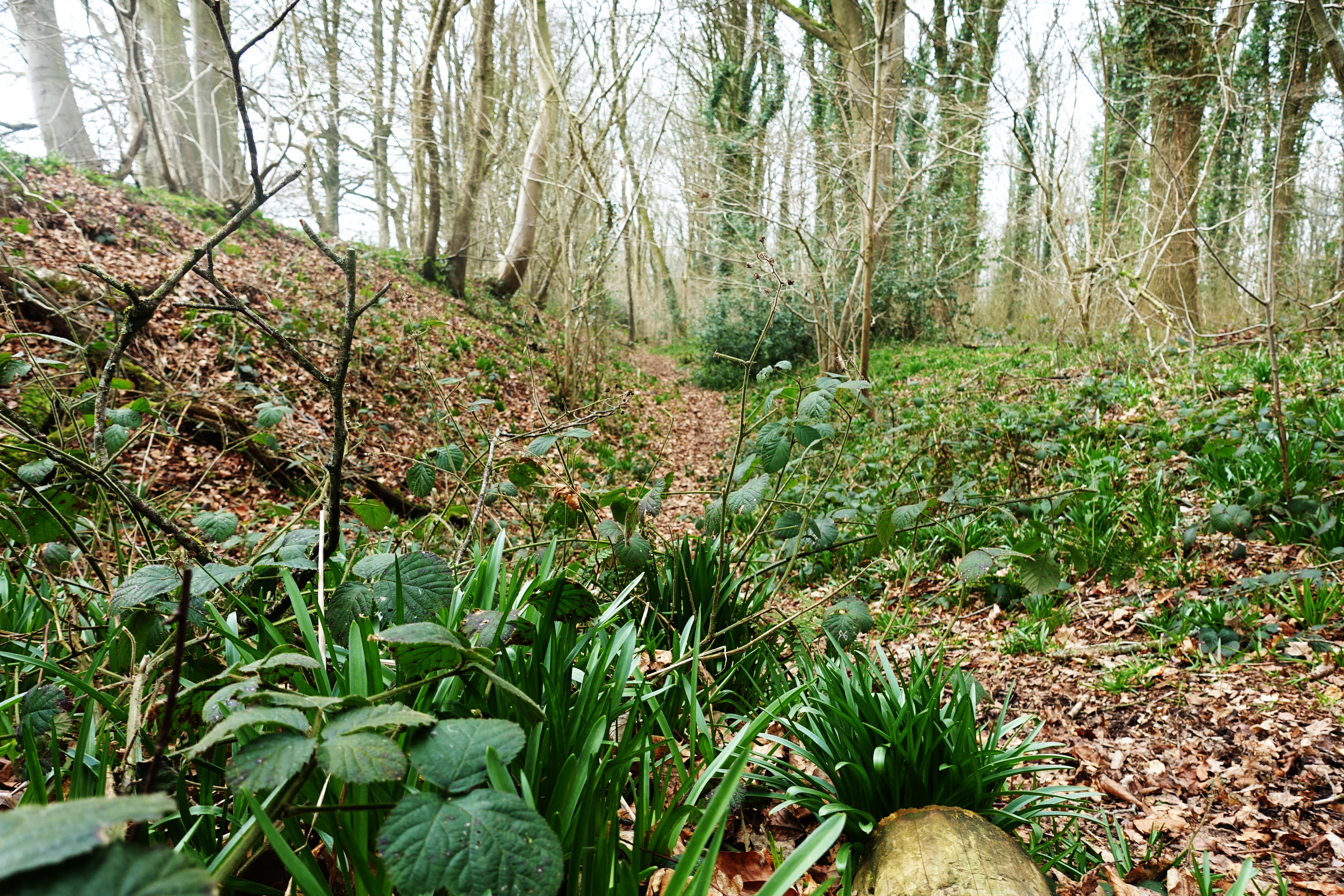
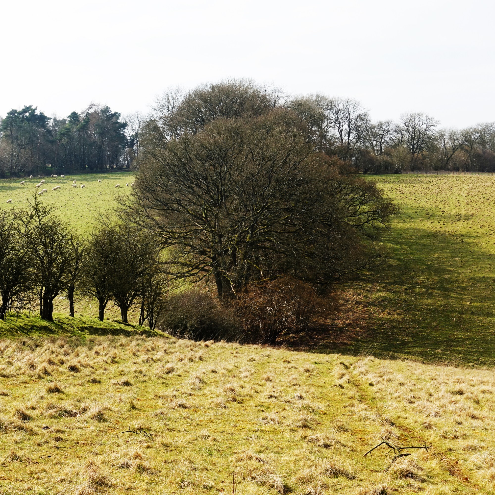
From the bus stop it’s a two minute walk along the busy main road before finding the footpath heading roughly N alongside the farm yard of Wellsummers Farm. The walking is immediately easy along a broad ride before entering Short Oak Copse where you meet the ditch and earthwork of Wansdyke running E/W. Turning left to the W, the path runs alongside the dyke on a narrow path which descends to meet a small road. Crossing this the signposted path climbs N away from the dyke through a mixed plantation of hard and softwoods before meeting a ride where the route takes a right right onto this N. After a couple of minutes the path splits, the path goes to the left, then after another minute or so another left heading W through a wood of tall broad leaf trees, the dyke appearing on the left running alongside the path. The going on this stretch was muddy, the rutted path doubling up as an access road for large forestry vehicles. My mind was planning to return in warmer, dryer months when this woodland must be a delight, stunning in late spring given the mass of emerging bluebells.
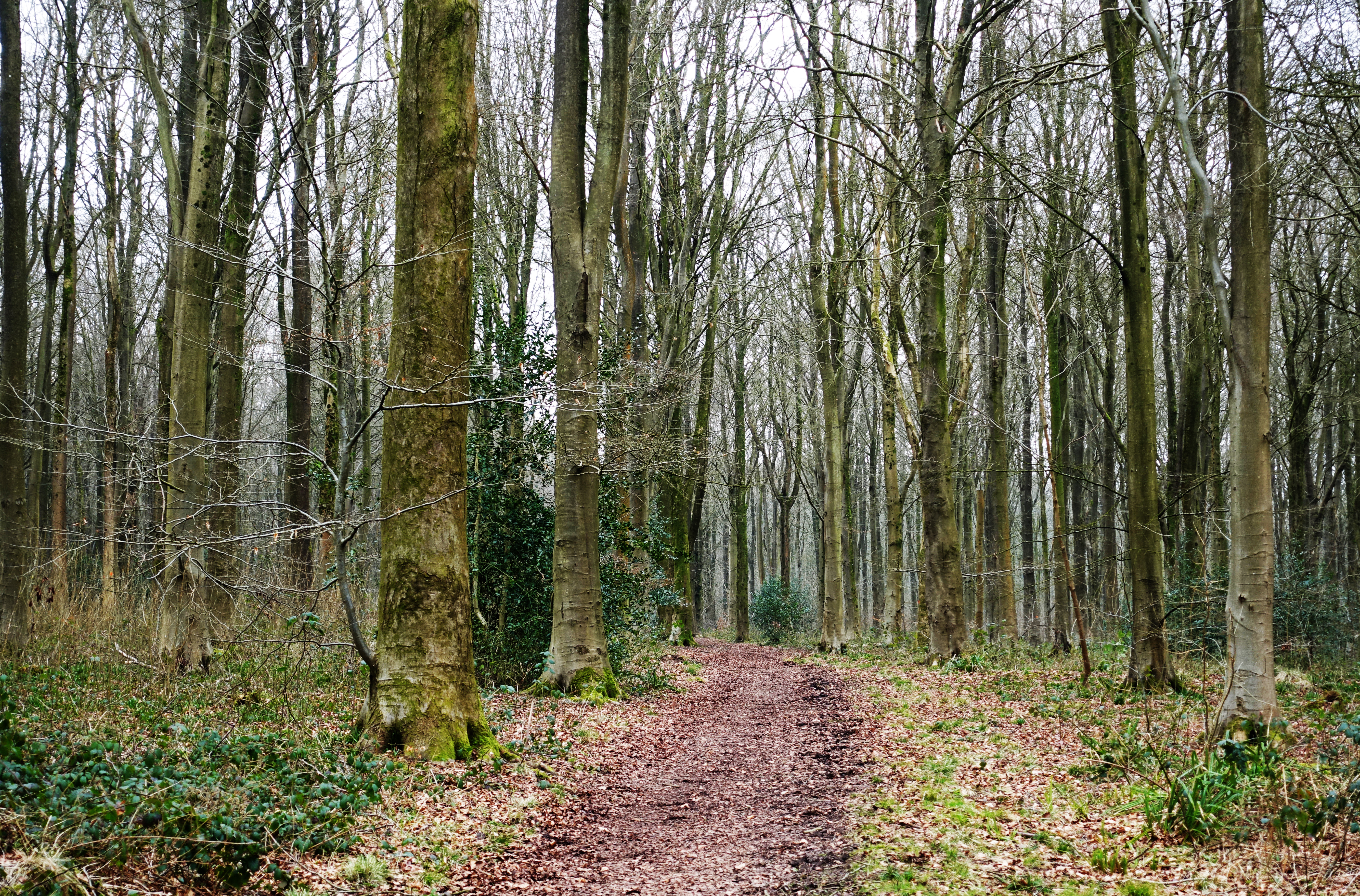
For the first couple of miles the route passes through woodland
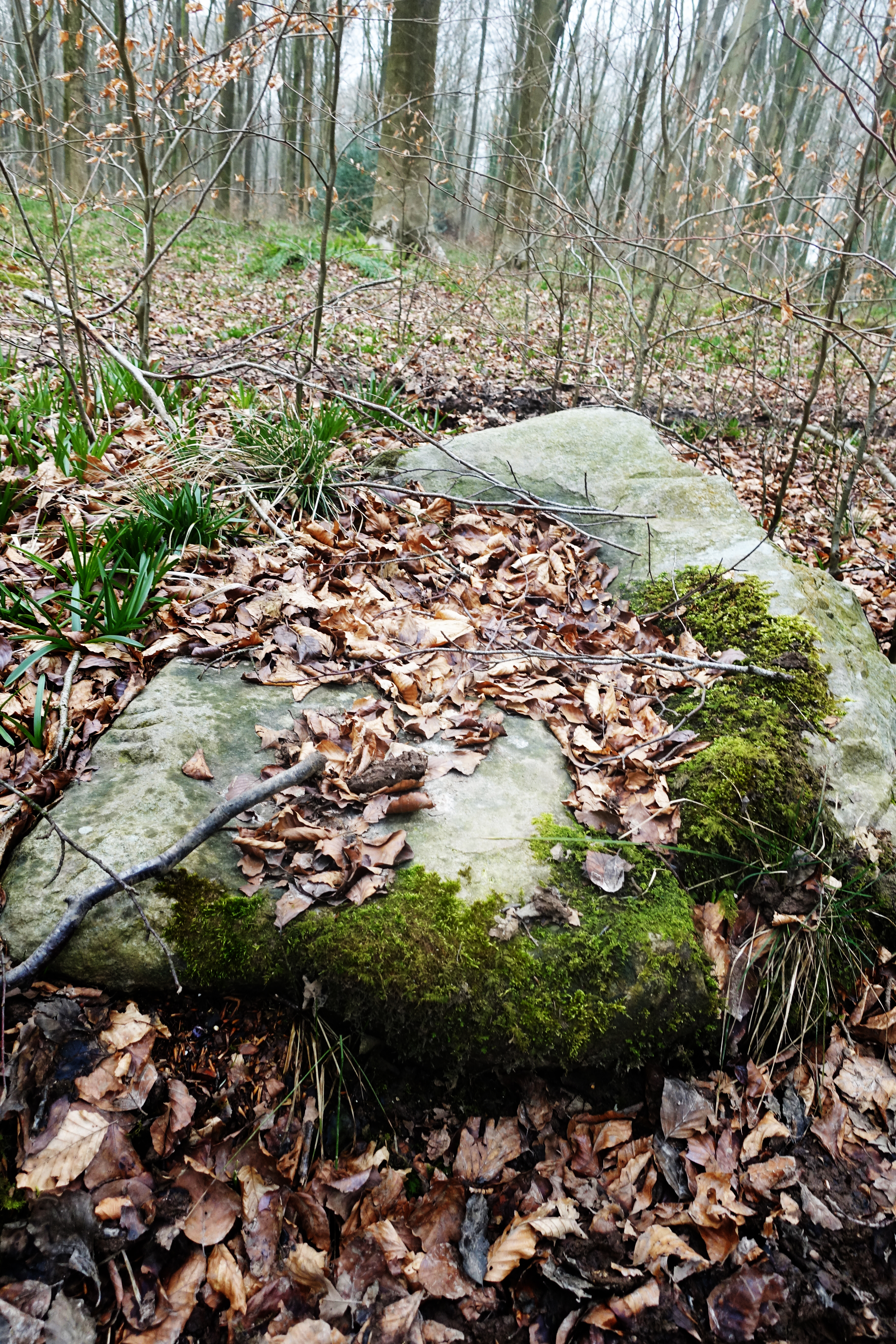
The next 1.5 miles is easy going – following or crossing the route of the dyke through the wood. The ground opens up on the left at about the two mile mark before descending to a cross road of tracks. Take the access track heading W up the hill and as it levels out the path takes a left before emerging into farmland above a deep valley. The path follows the dyke down then up and look out for the occasional oddly placed large stone, some scored and deposited by glaciers. At the top of the rise the path leaves the dyke as it hits a fence and is indistinct but turn left SE and there are a couple of stiles which take you into an open area of rough ground, this being the site of medieval Shaw village. Beyond this there is a band of tall scrub after which the path enters a field. You can go left or right here around the field margins in order to pick up the Wansdyke path as it comes into a stretch of chalky farmland with fabulous walking, the views opening up to reveal the downs and hills which form part of the later route as you descend to cross a small road at about mile four. The path rises to rejoin the Wansdyke which is now a well preserved feature in the landscape, the increasingly open, high ground offering vistas to the North, Silbury Hill, Avebury and the Marlborough Downs.

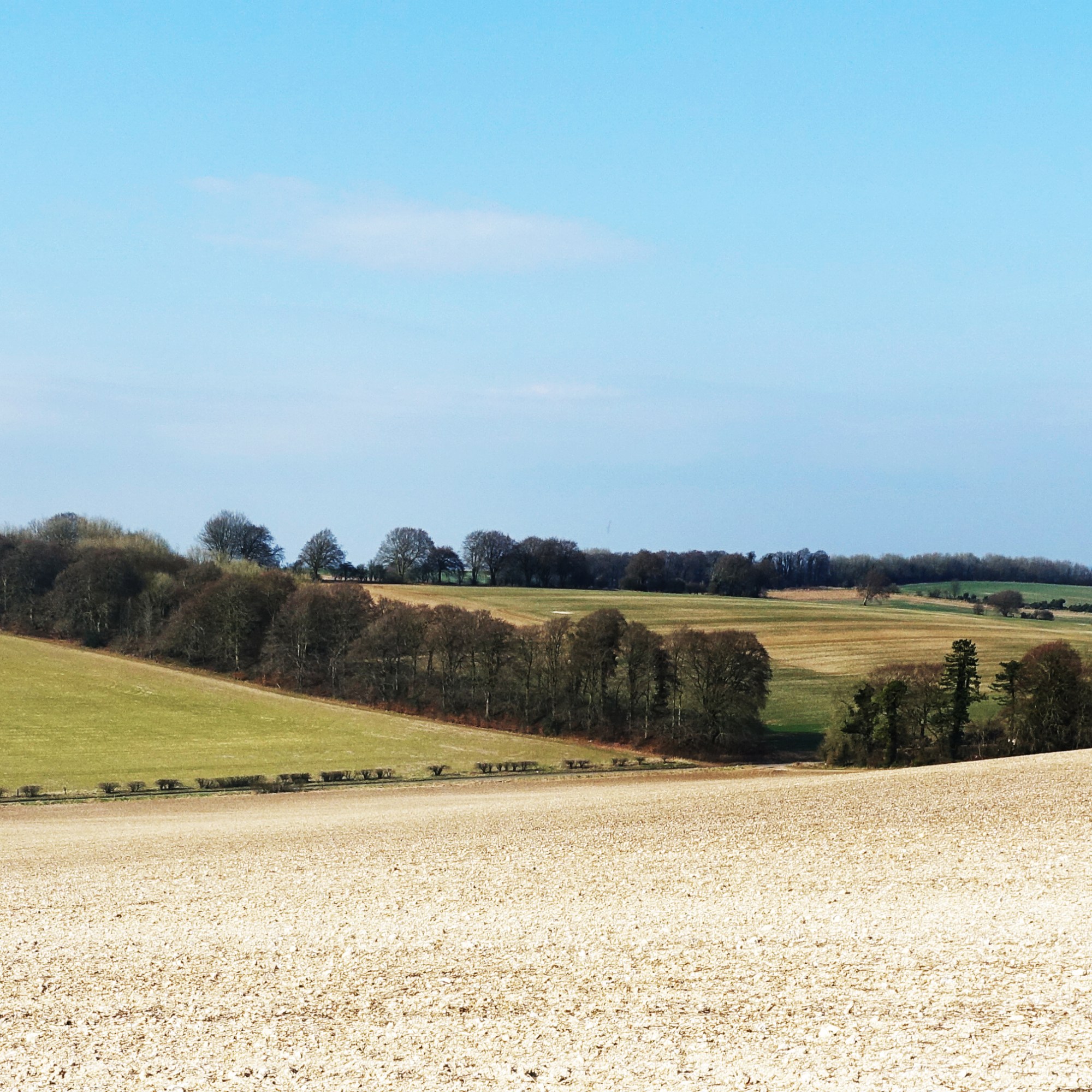
Clockwise from top: The path as it emerges from the woodland. The Wansdyke with the Marlborough Downs in the gap. The classic flinty chalk fields of the downs. the path opens up into wonderful downland walking.
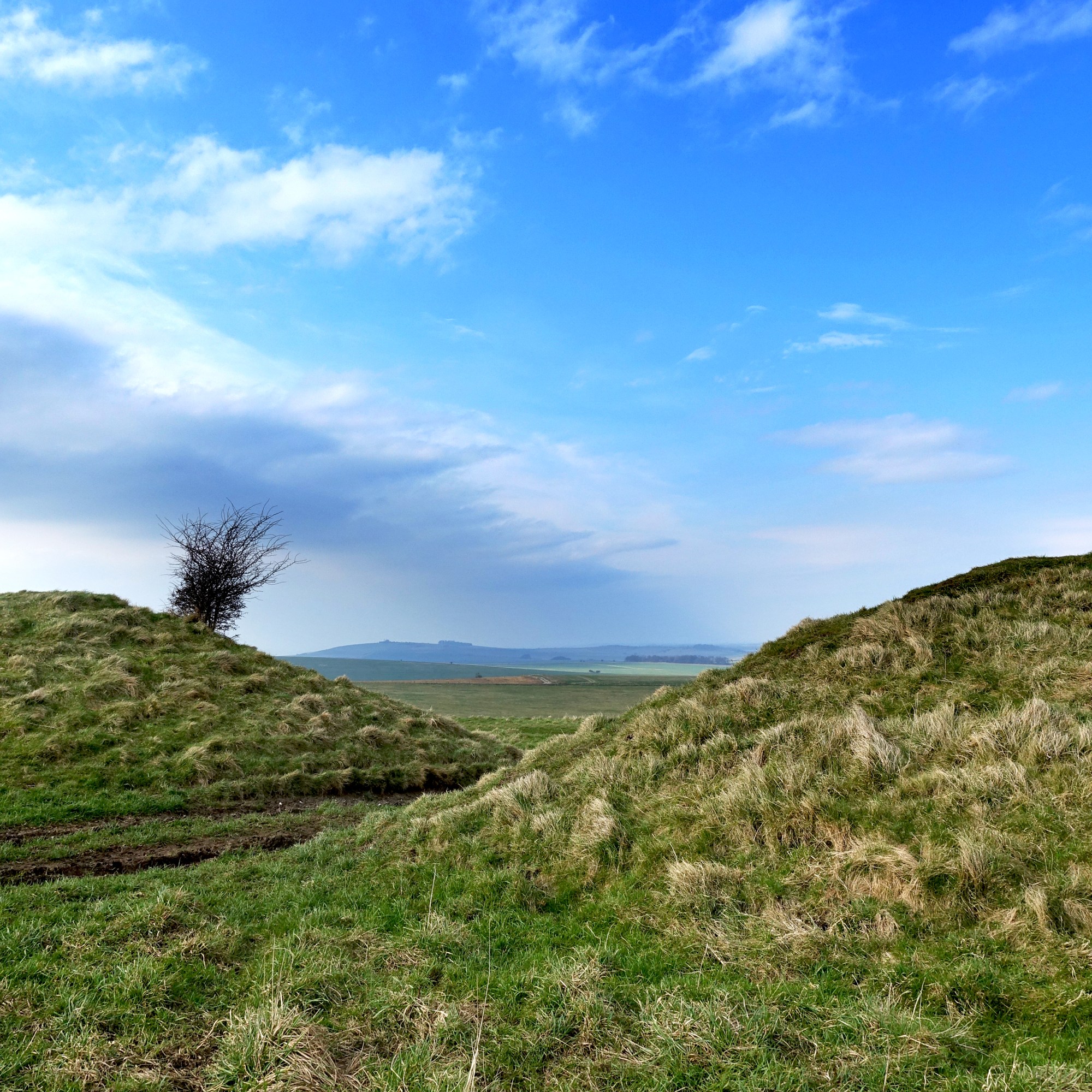
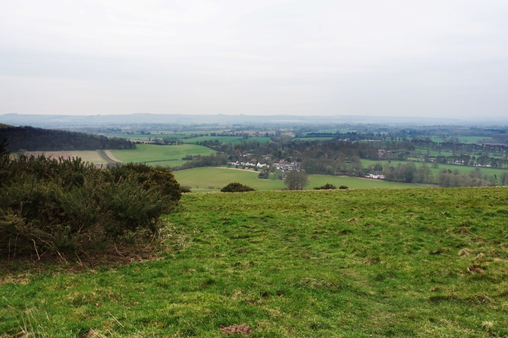
With the deep dyke to the left, the route continues W until a fence and stile at about mile five as it turns left to the S crossing the Wansdyke onto the signed path as it circuits Milk Hill, this being the return leg of the walk, picking up the route of the Mid Wilts Way. After a couple of hundred metres at about mile six, the view to the N opens up dramatically, the ground falling away steeply as the Pewsey Downs come into view stretching away to the E above the Vale of Pewsey, the occasional boom of artillery on Salisbury Plain spooking the pheasants.

The Wansdyke stretching Westward from the five mile point where the path turns S
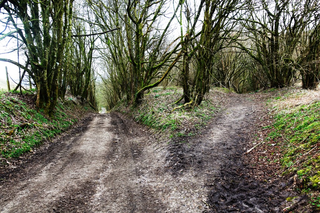
Below, from left: The Vale of Pewsey. Old roads. The view over Oare village.

The path continues E along the scarp edge passing one of the White Horse chalk figures. It’s a proper downland setting here with stunted trees, gorse and few fences. The path descends slowly past Walkers Hill before crossing a small road at a car park. It then climbs past Knapp Hill and the path levels out continuing E. Just after mile 8 the path circuits Gopher Wood before climbing again towards Huish Hill where the path runs N to circuit Huish Hill House before continuing S down a precipitous hill towards the Village of Oare where the X5 bus takes you back to Pewsey and my train home. You can add a couple of miles and walk to Pewsey from here on the White Horse Trail. There is a good pub in Pewsey, The Royal Oak. With three fireplaces, beer and food it’s a good place to wait for the train.
