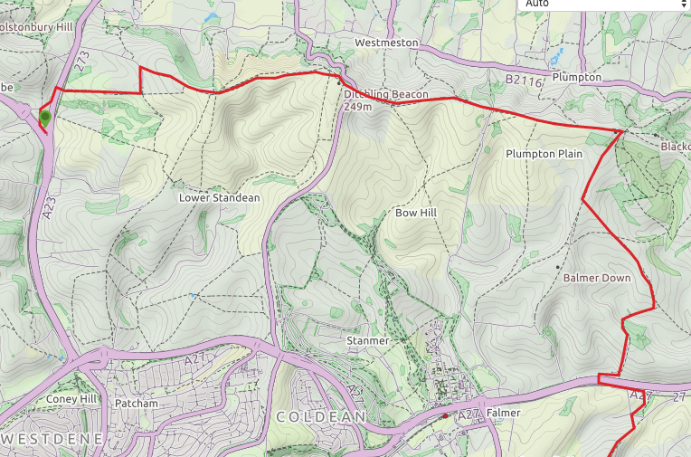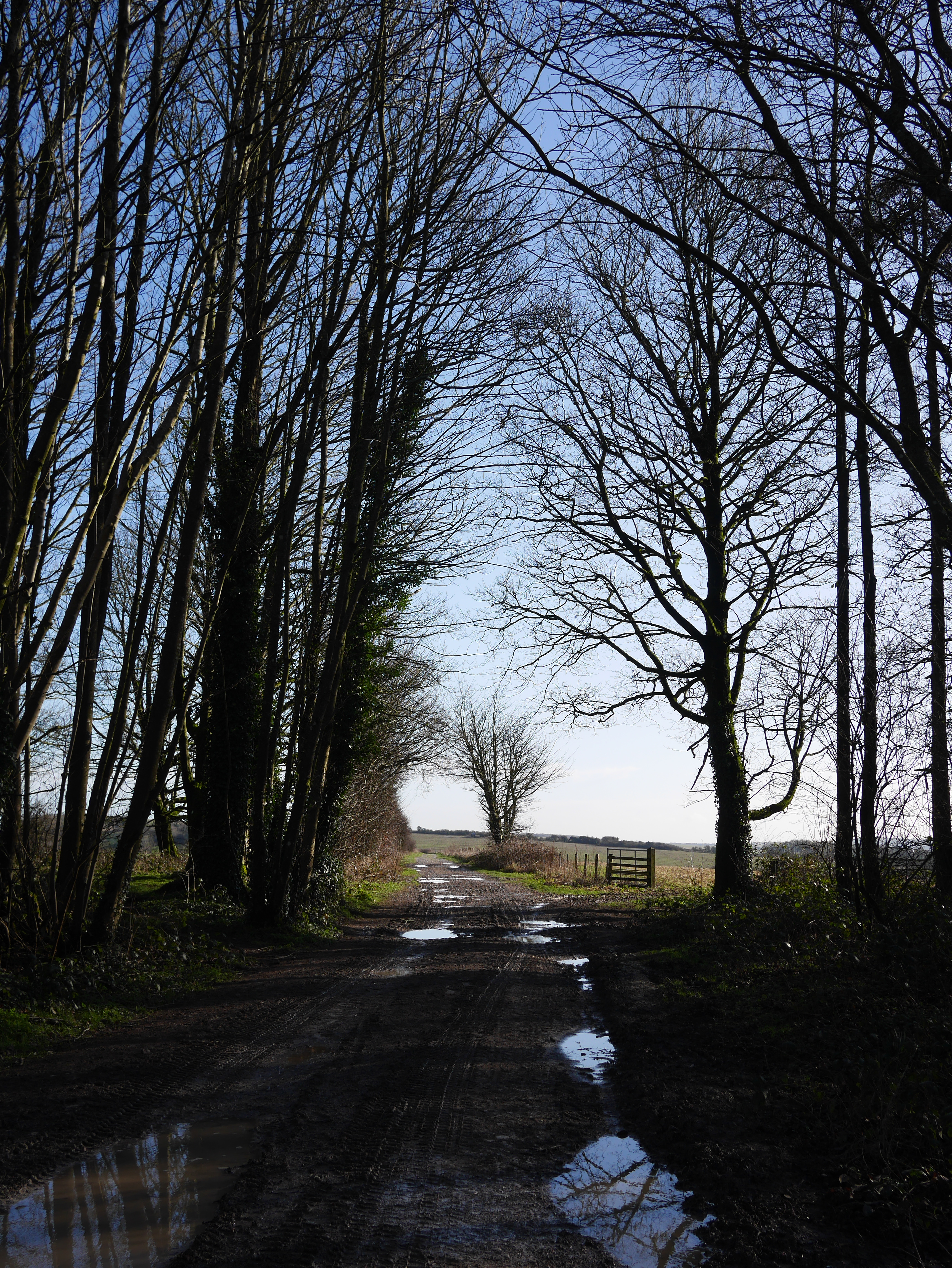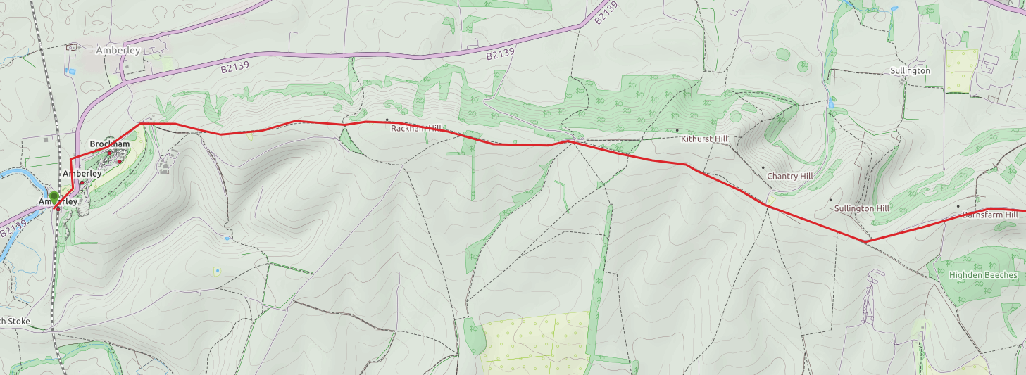
After the wettest February on record, early March promised something a little better with a few days without rain for the ground to dry out (February walking was a mud-fest) and the promise of a sunny Friday. So I decided on a trip to Lewes and a 5.5 mile circular walk from Lewes station town into the hills east of town. It takes in classic downs above a dry valley to the high point of Mount Caburn, the remains of an Iron Age hill fort, then back via the valley floor (map at end). I also wanted to spend some time in the vibrant town taking in the history and architecture for a couple of hours.
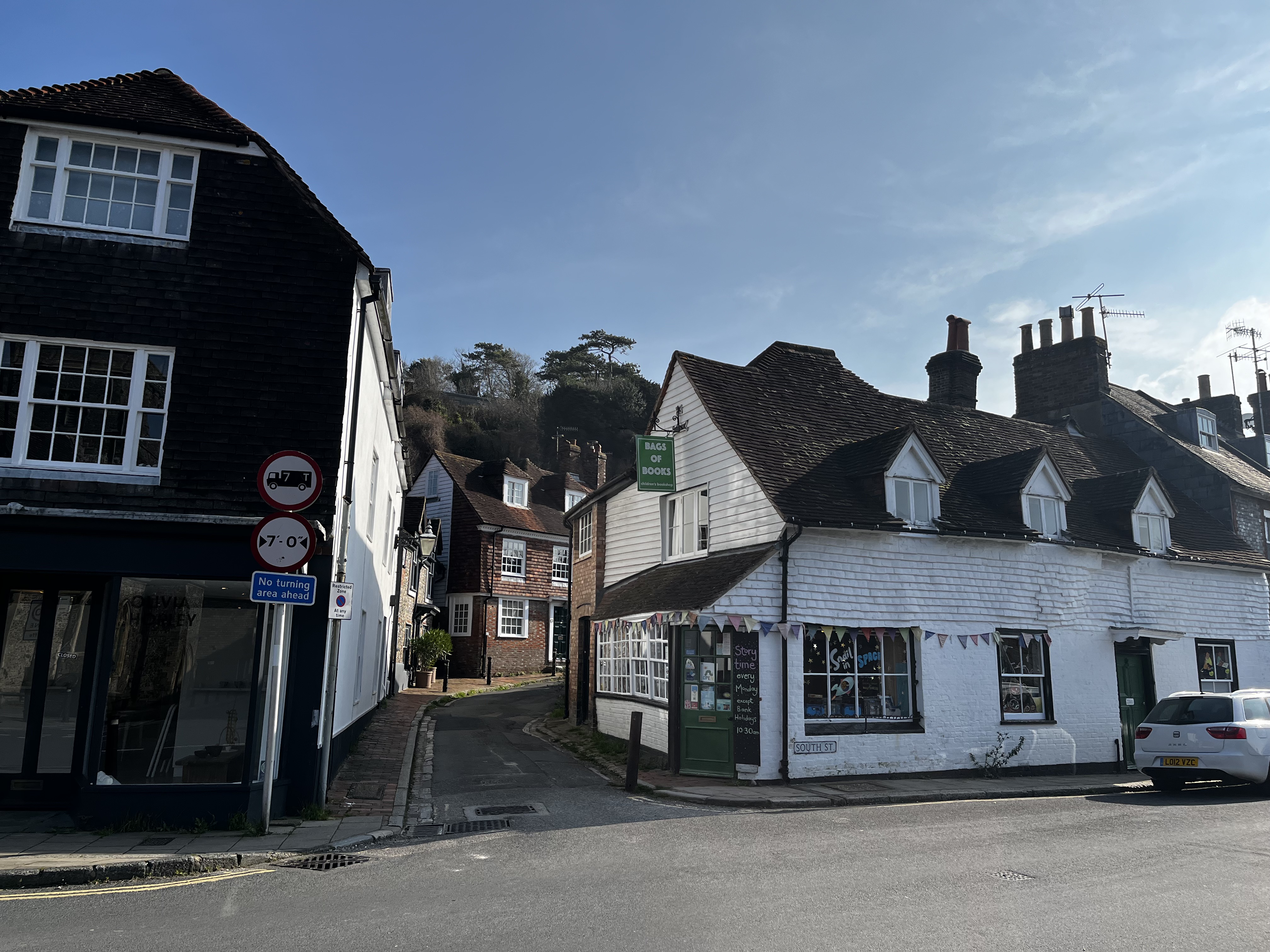
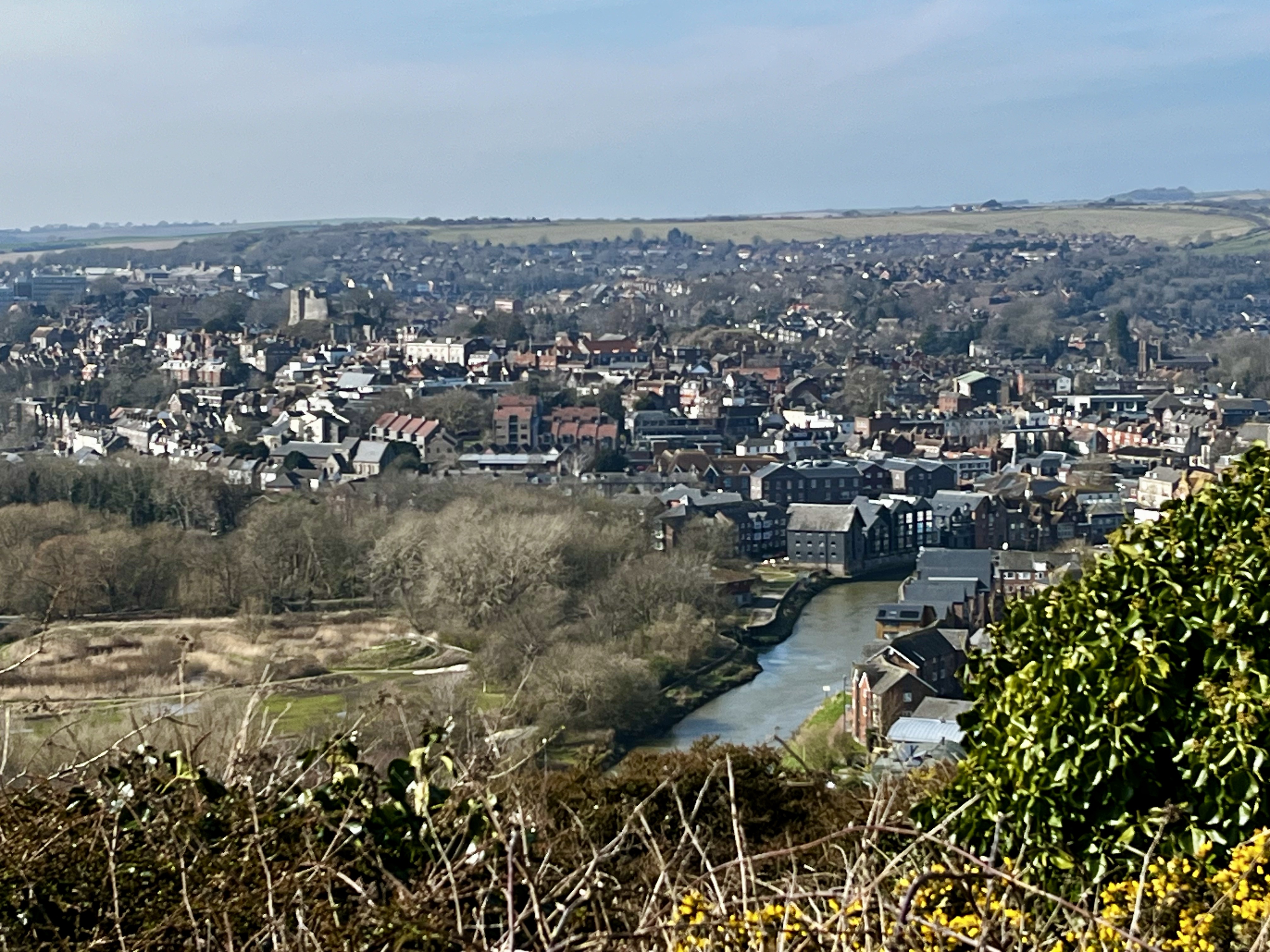
It isn’t a long walk, the first half mile via the town centre with, for me, a stop off on Station Street at ‘Carafe’ for a cup of tea. The route from the station is north up to High Street and from here you can see the downs you’ll be climbing, towering above the lower town. Walk east down high street and cross the bridge over the River Ouse by the Harveys brewery continuing on the level to the end of the street. Cross South Street and make your way up Chapel Hill, a steep, narrow road between beautiful cottages. At .75 miles take the small lane to the left, then through the gate onto a footpath and steps. This is the hardest part of the walk as it’s a short sharp climb to a golf course from which there are views of the town as a reward for the effort.
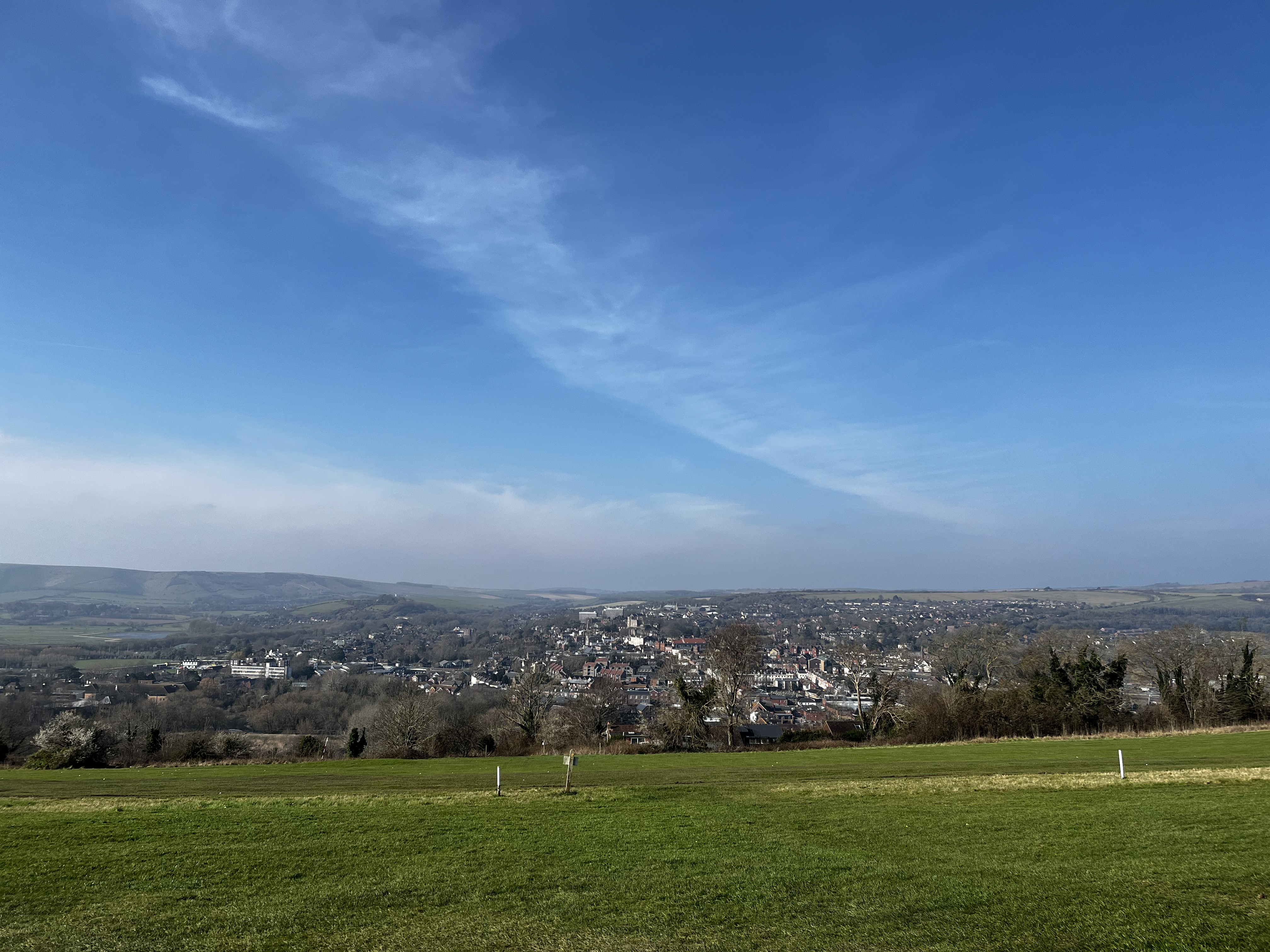
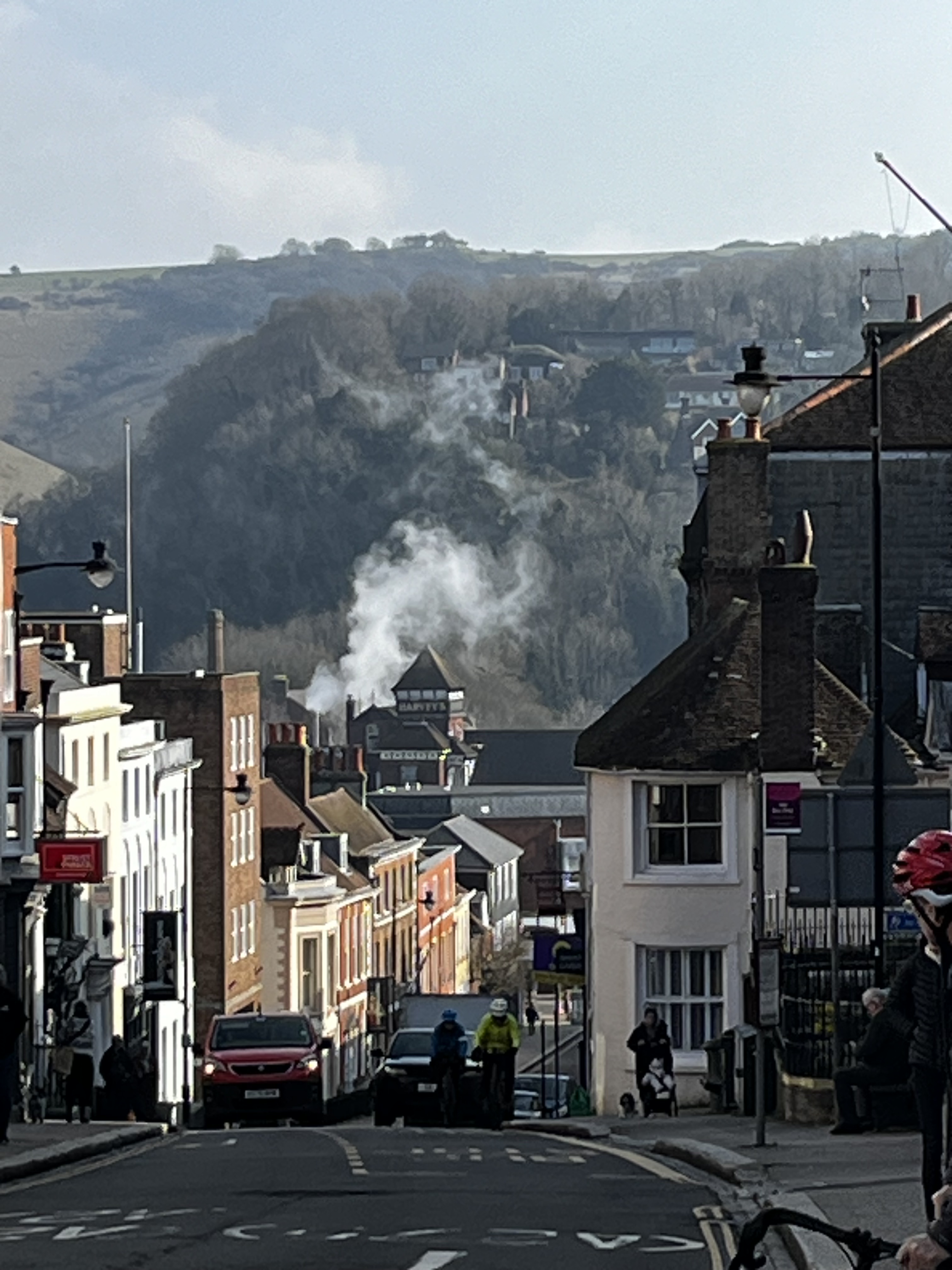
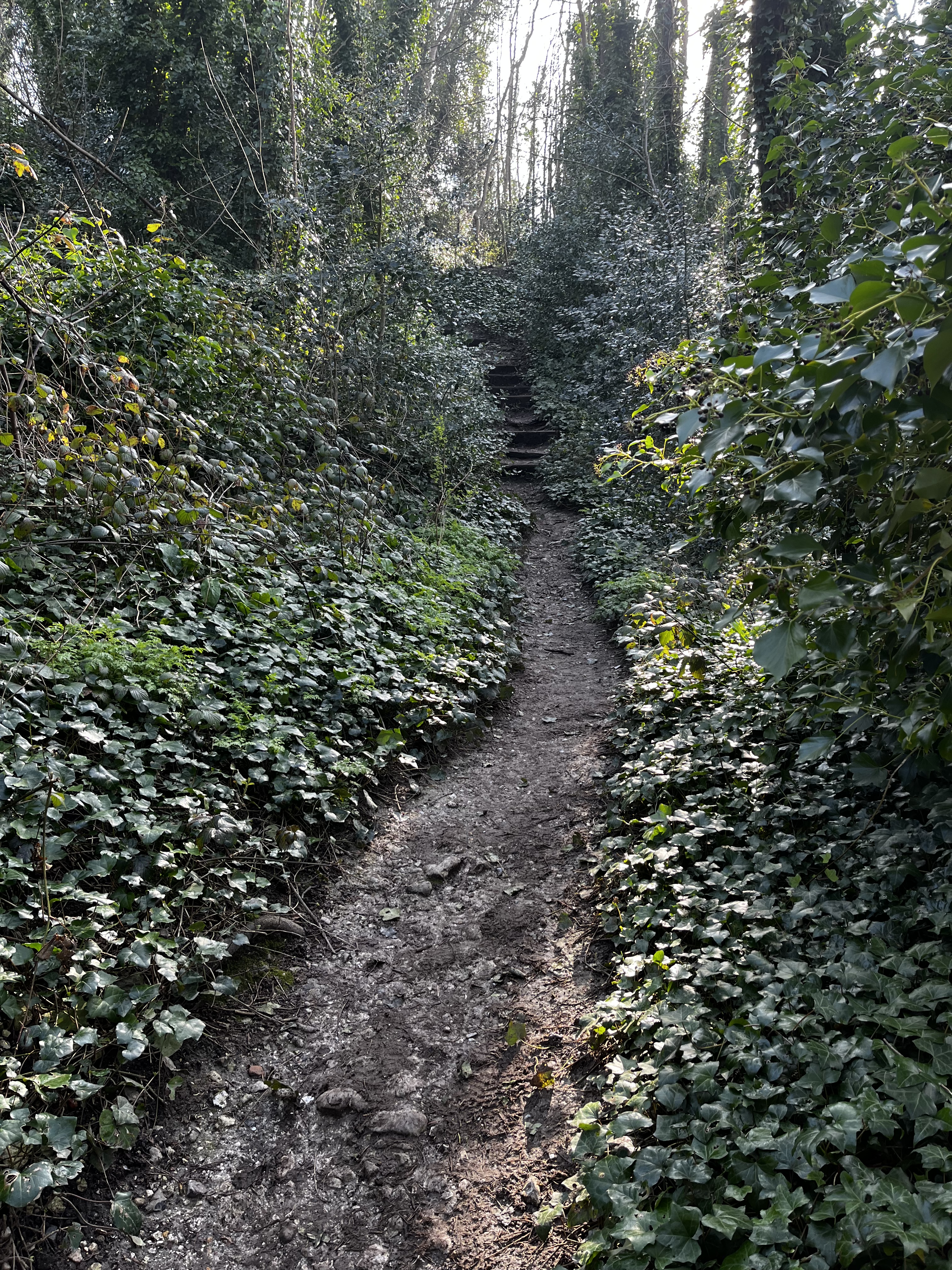
Clockwise from top left: Chapel Hill, view from High Street east to the downs, the downs as you leave the golf course, the path from Chapel Lane to the golf course, the view of the town from the golf course
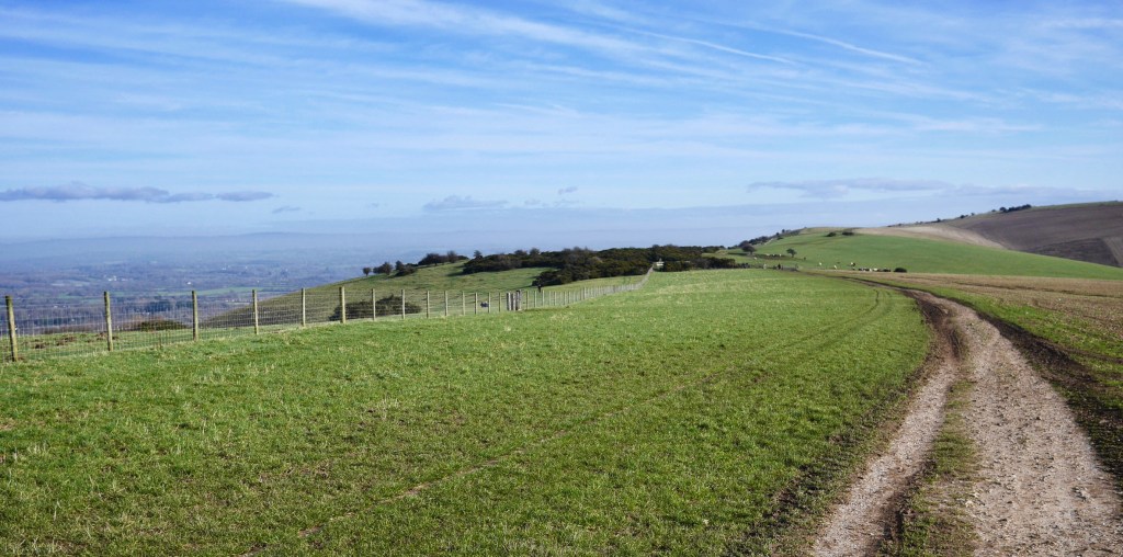
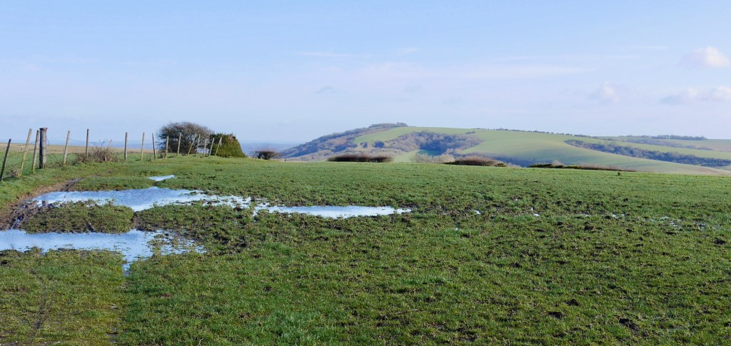
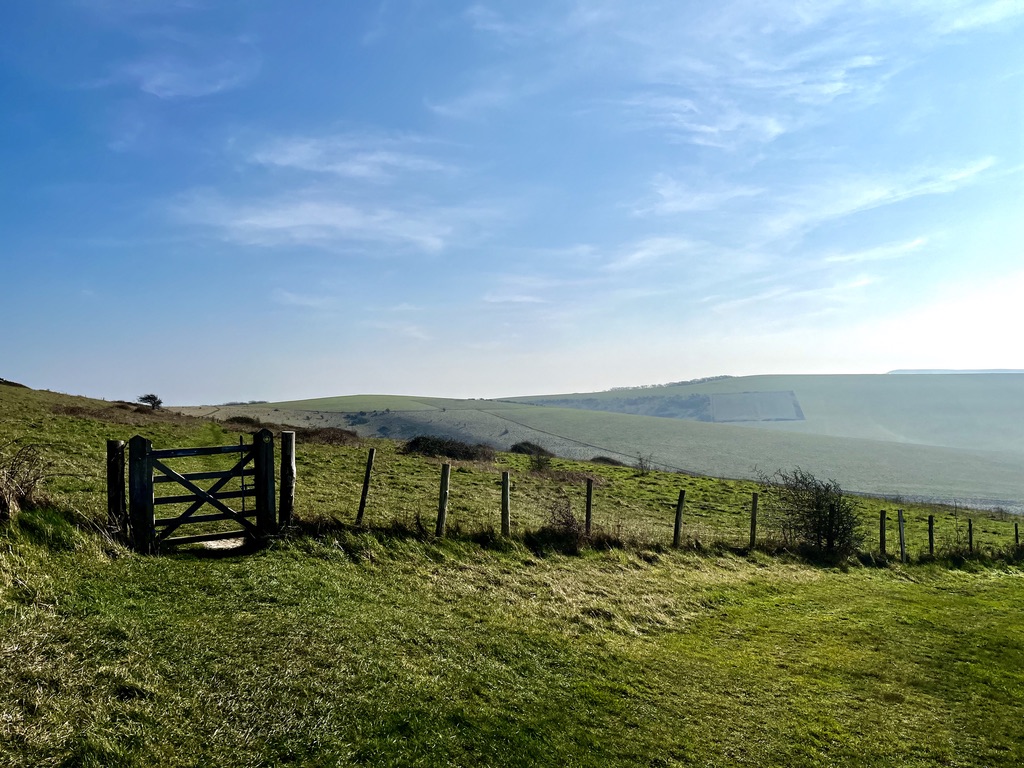
Continue across the course roughly east between the tees. The walk continues to climb and is signposted in places. The views begin to become wider until at the 1.4 mile mark you leave the golf course and the path becomes a little wilder and level. At 2.4 miles there is a stile (or gate, can’t remember), then head south east towards the 135m high point and tumuli. The path descends a little, crosses some deep tracks then climbs up to another and stile. Head roughly south along the fence line to the highpoint at 148m as ‘The Caburn’ begins to take shape – follow your nose.
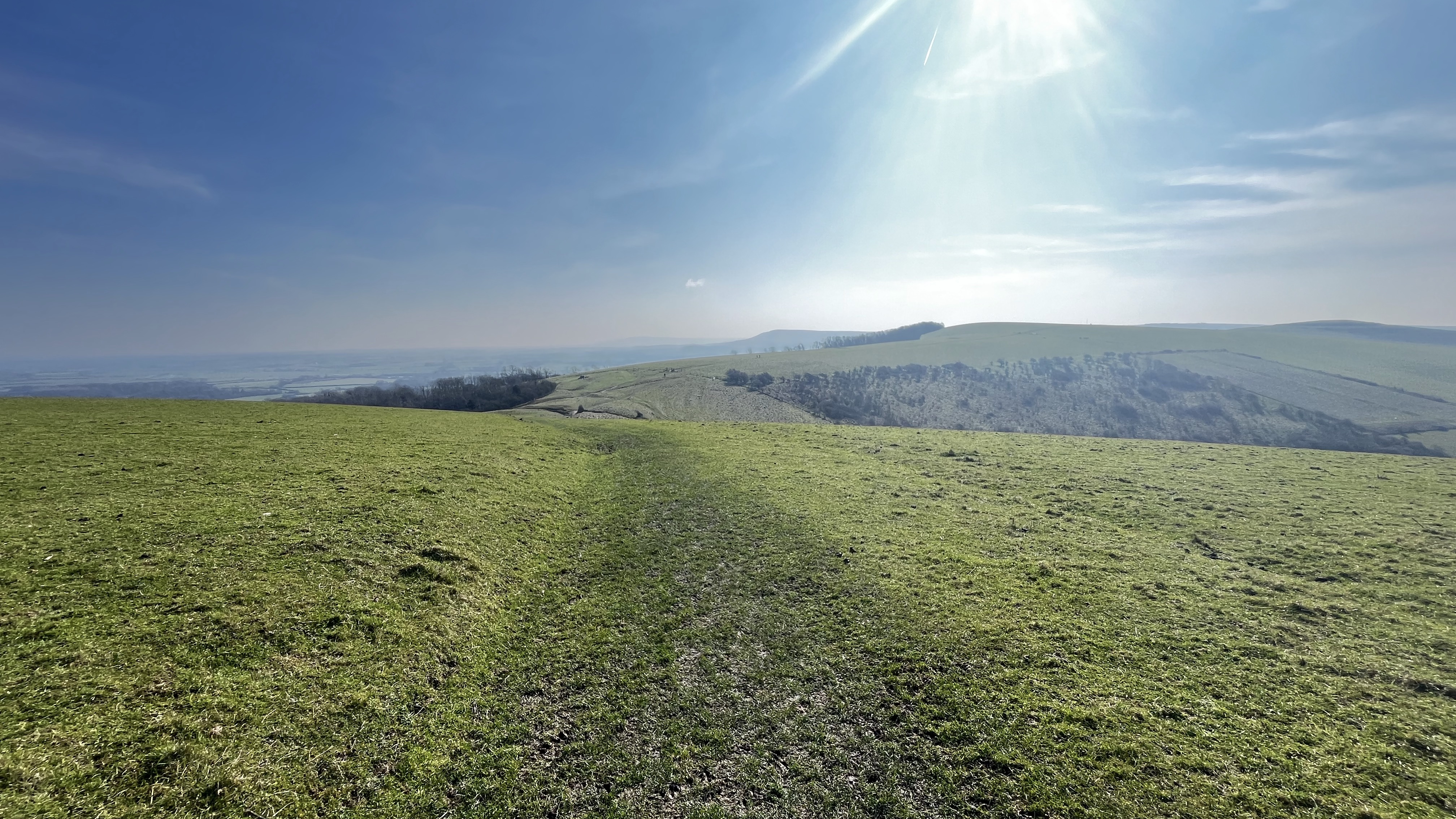
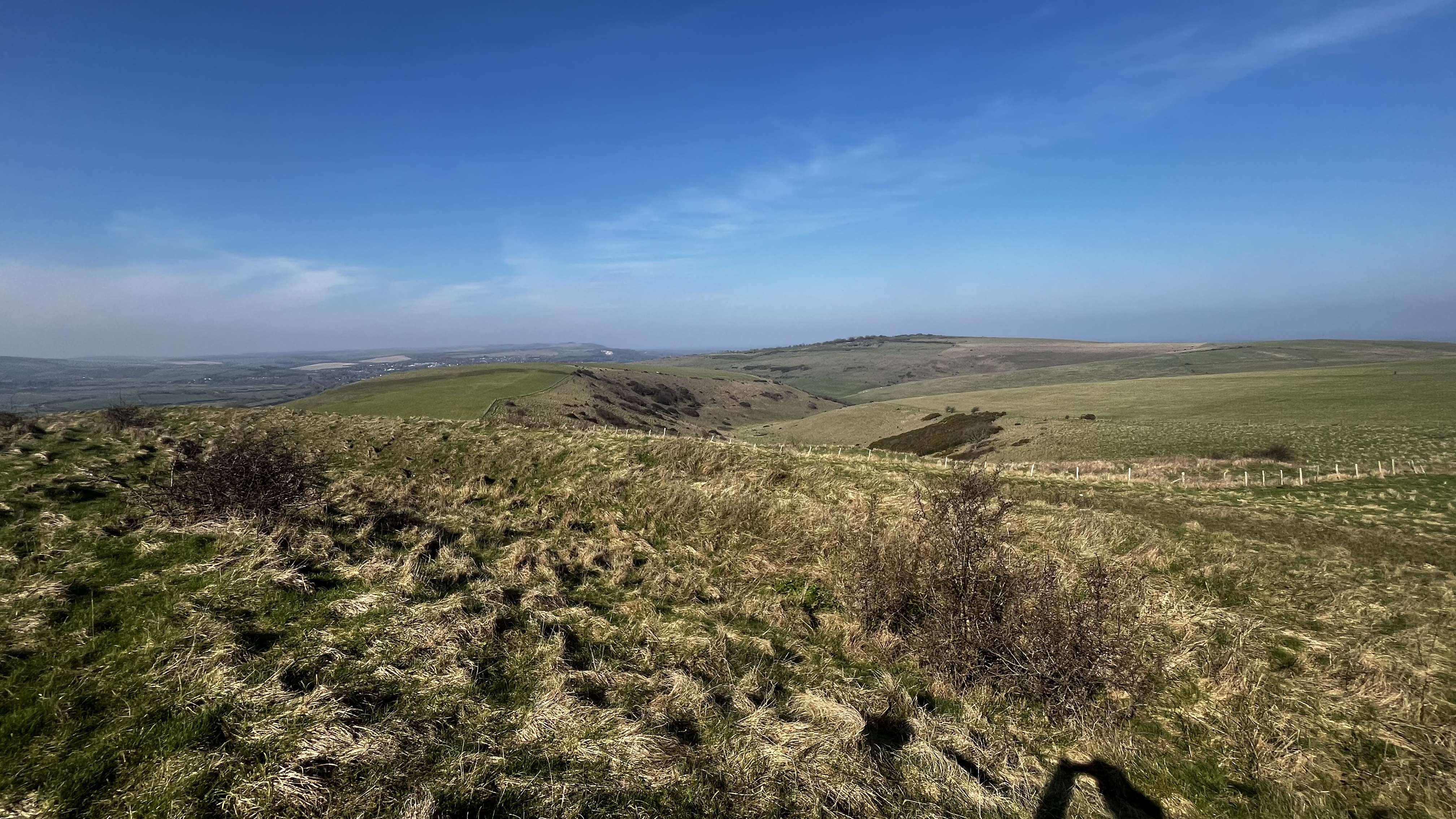
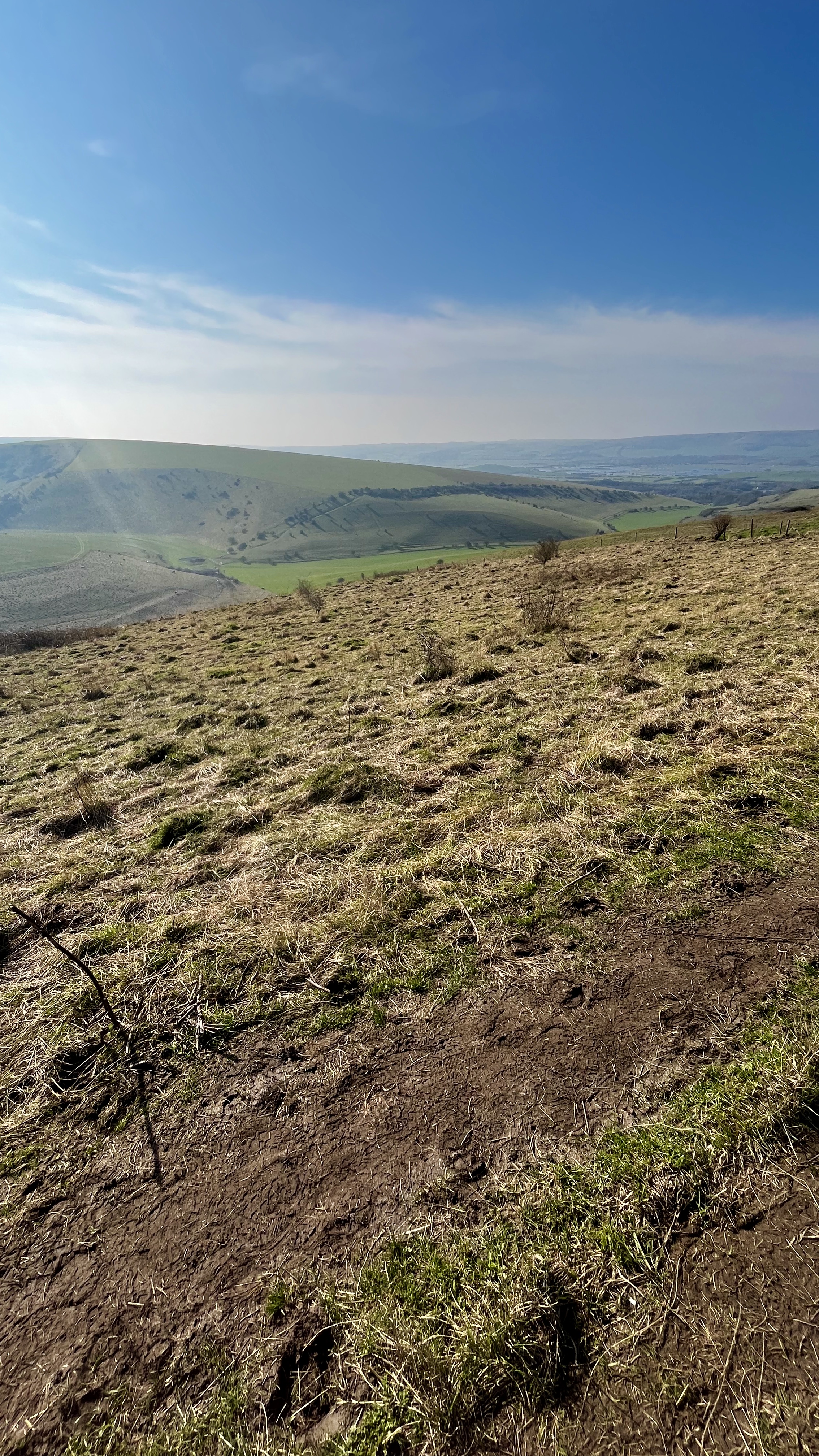

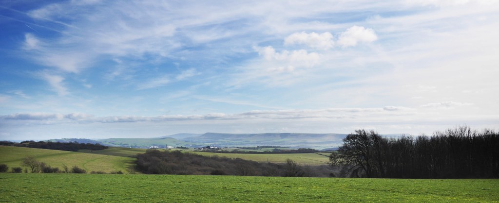
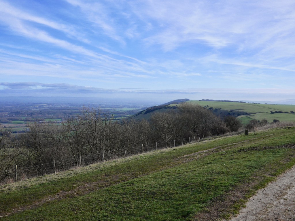
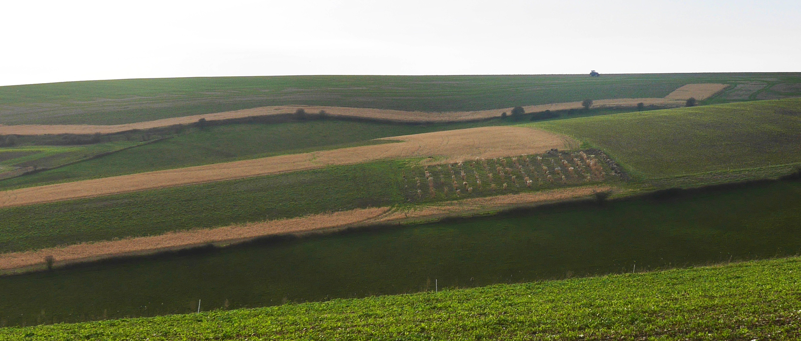
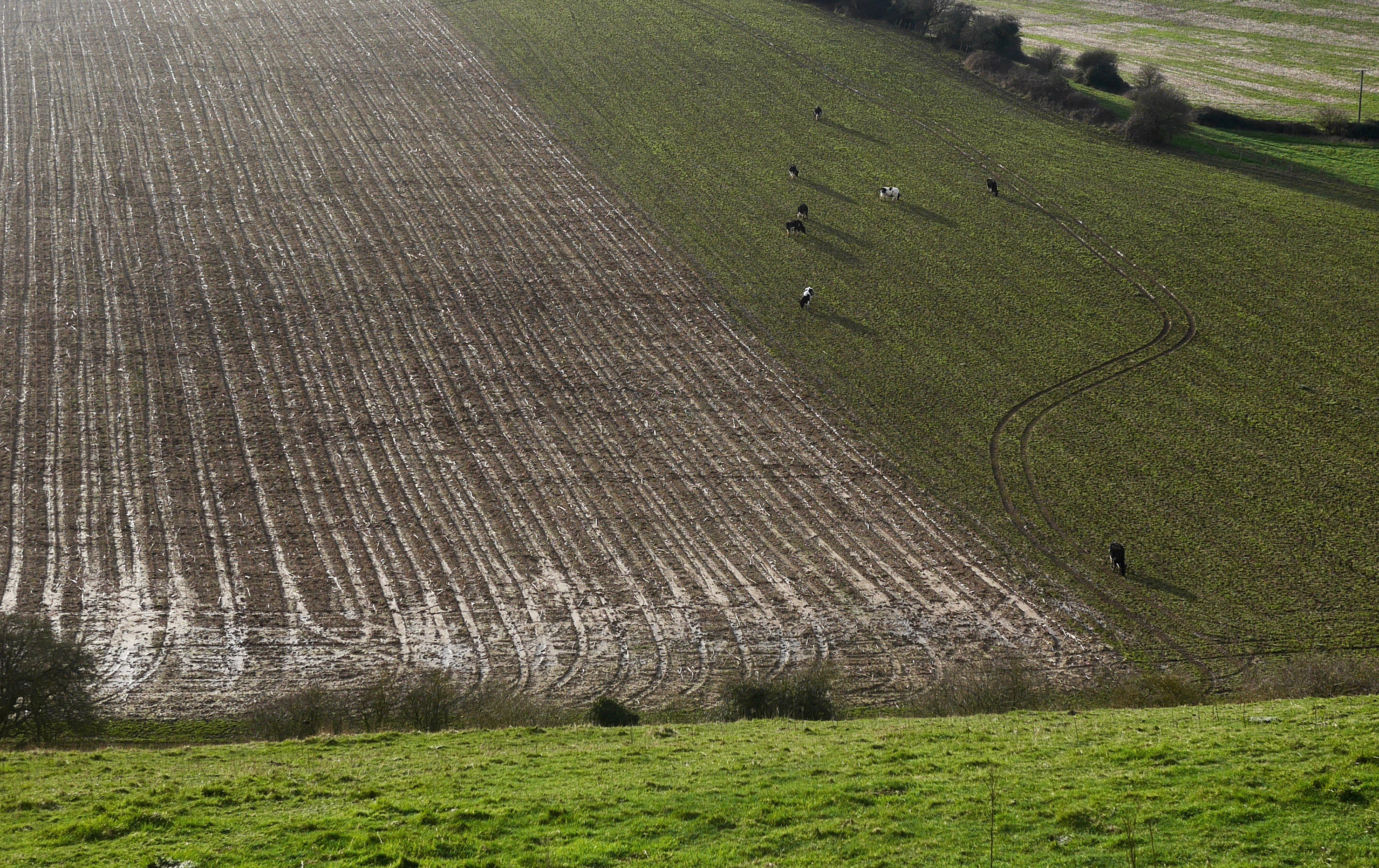
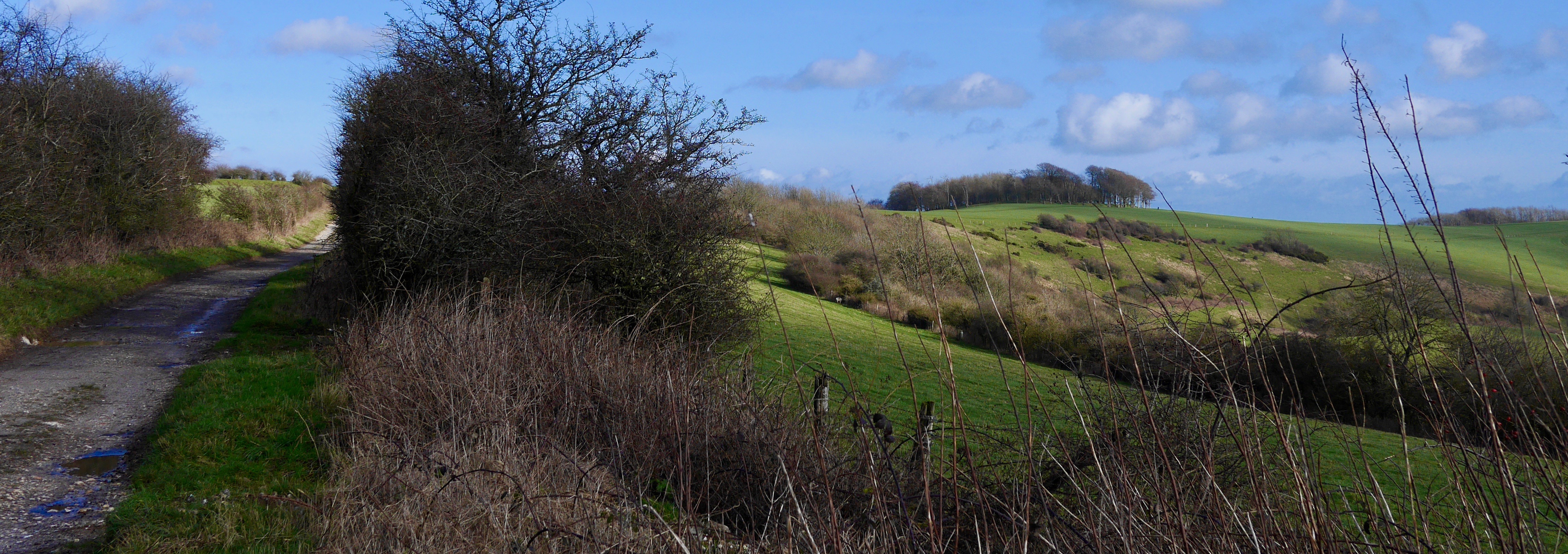
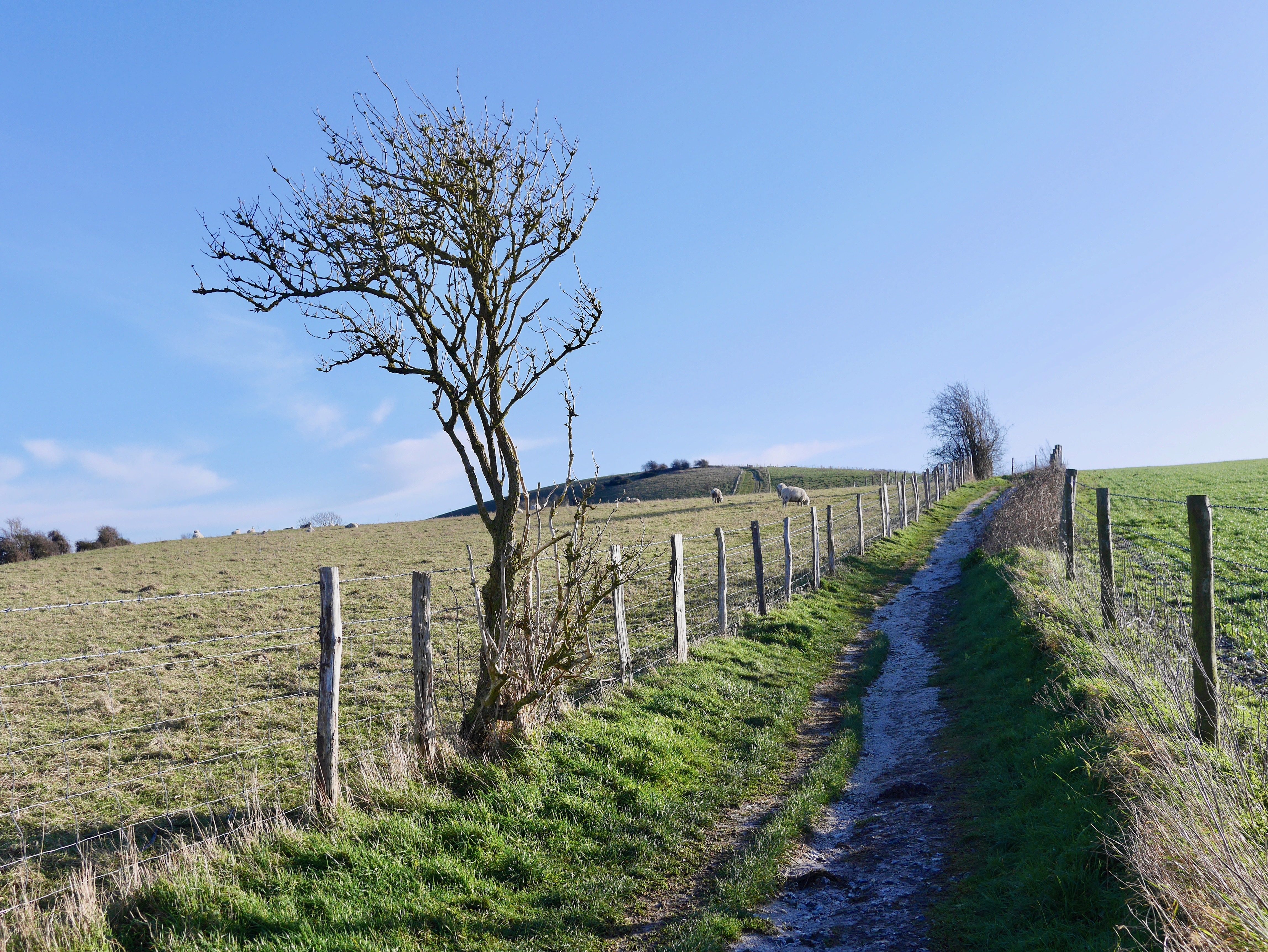
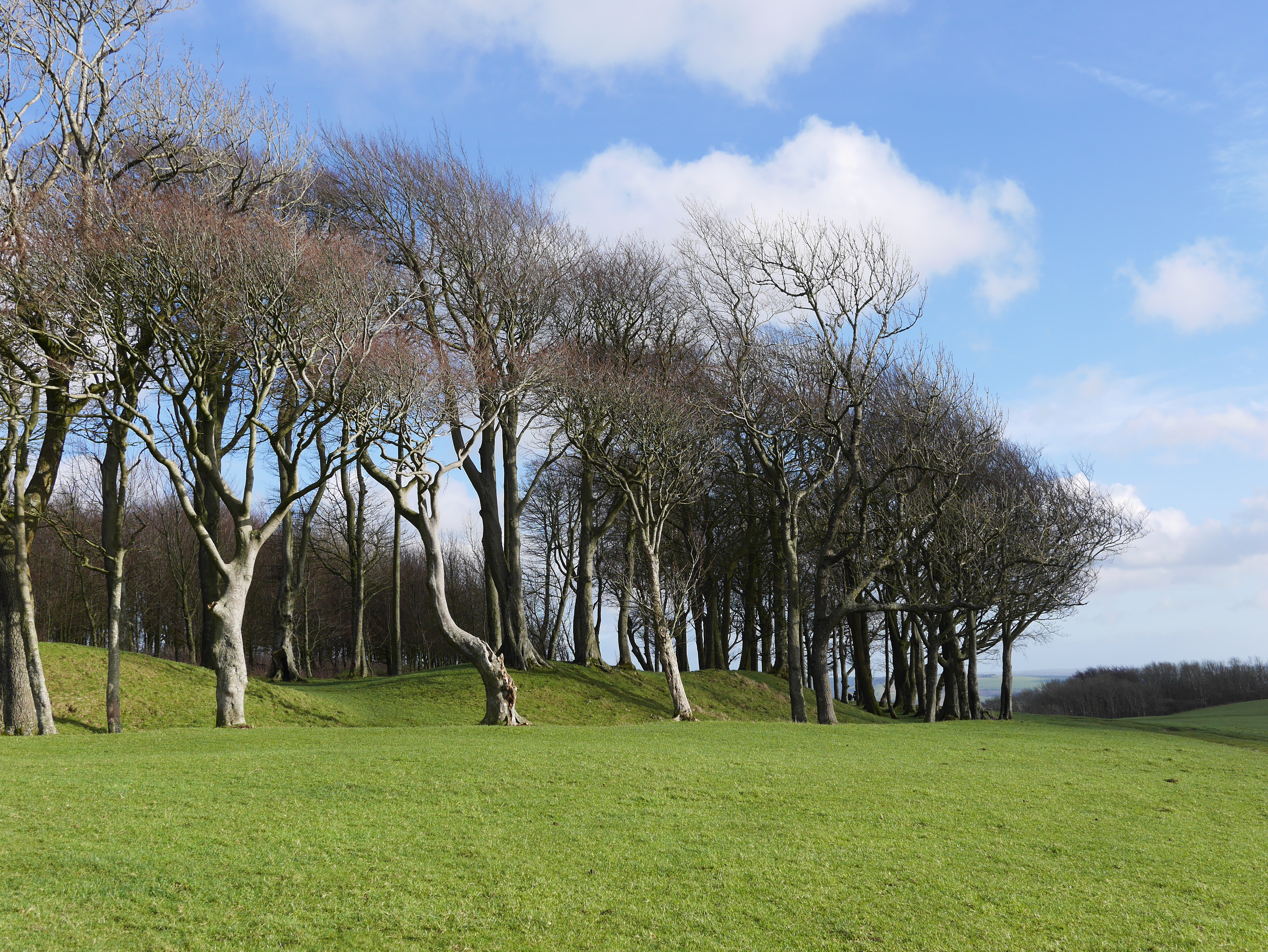
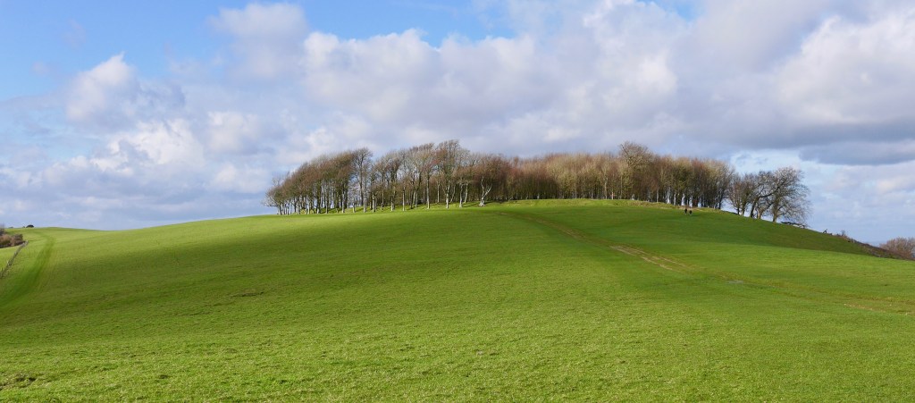
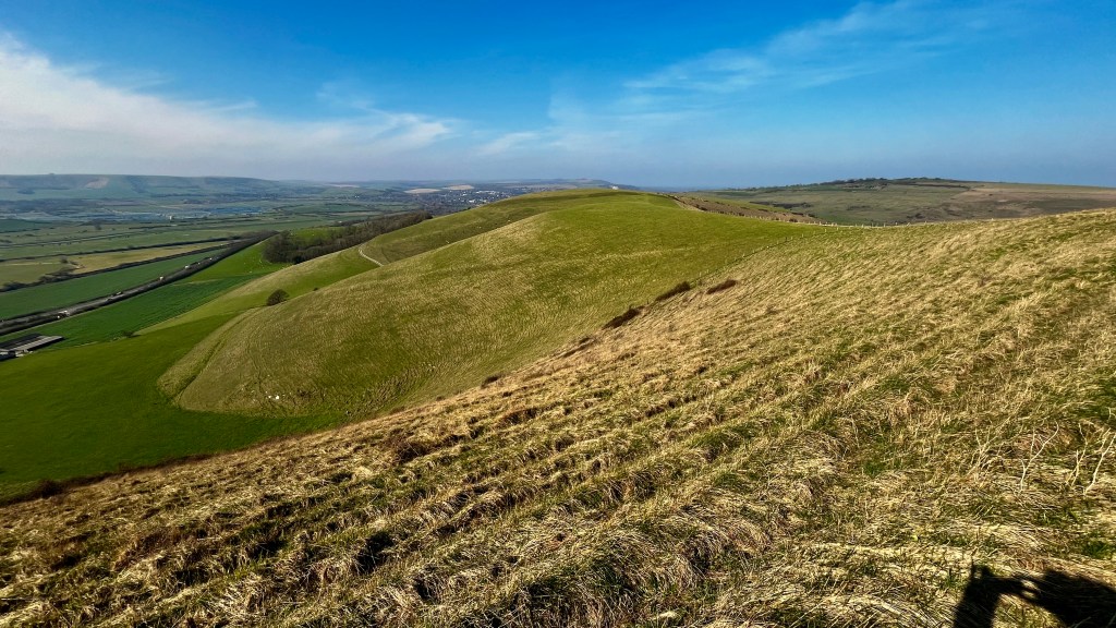
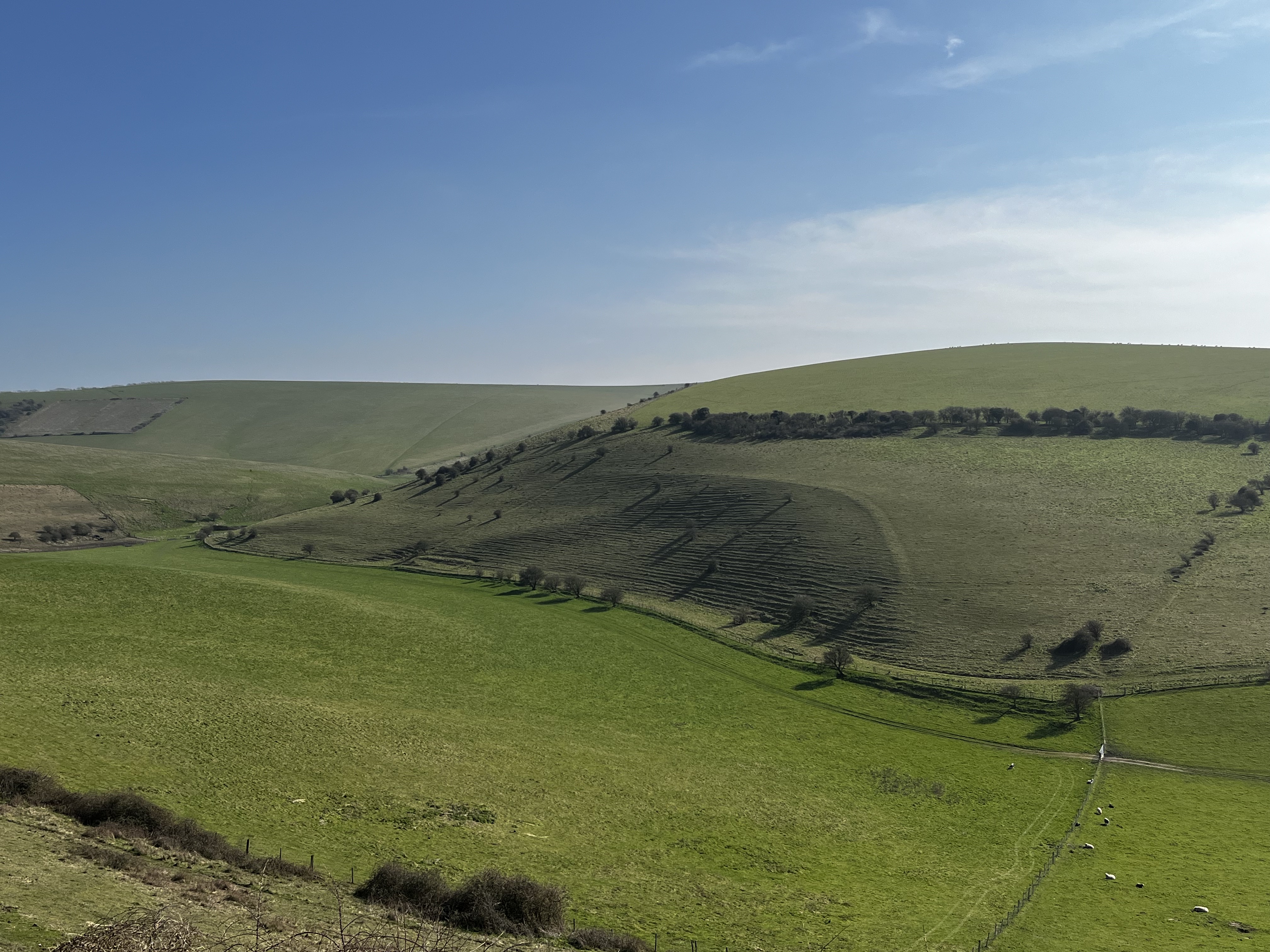
Views en route to the fort, the bottom two from Mount Caburn. The walk offers a pleasant mix of downland wildness and pasture.
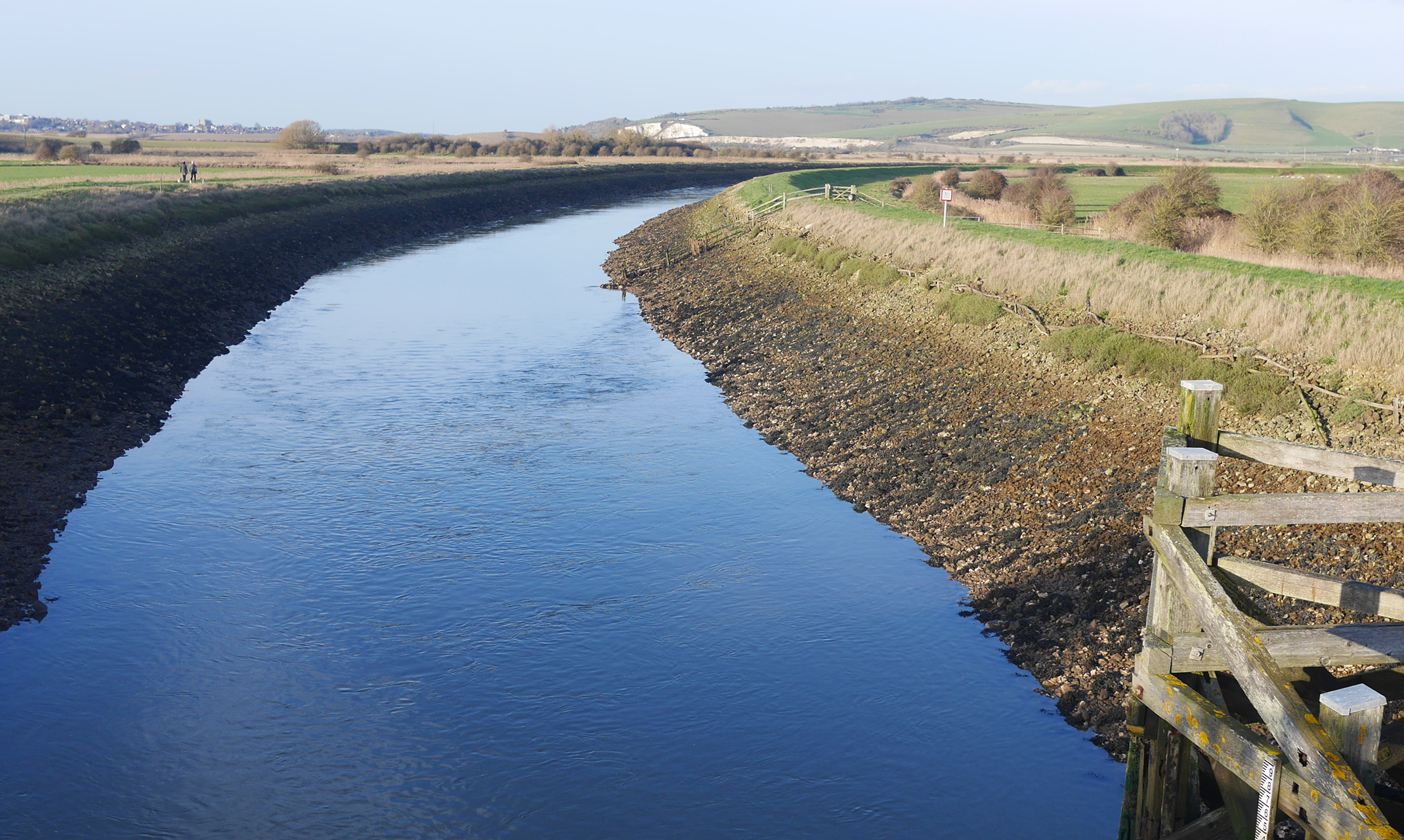
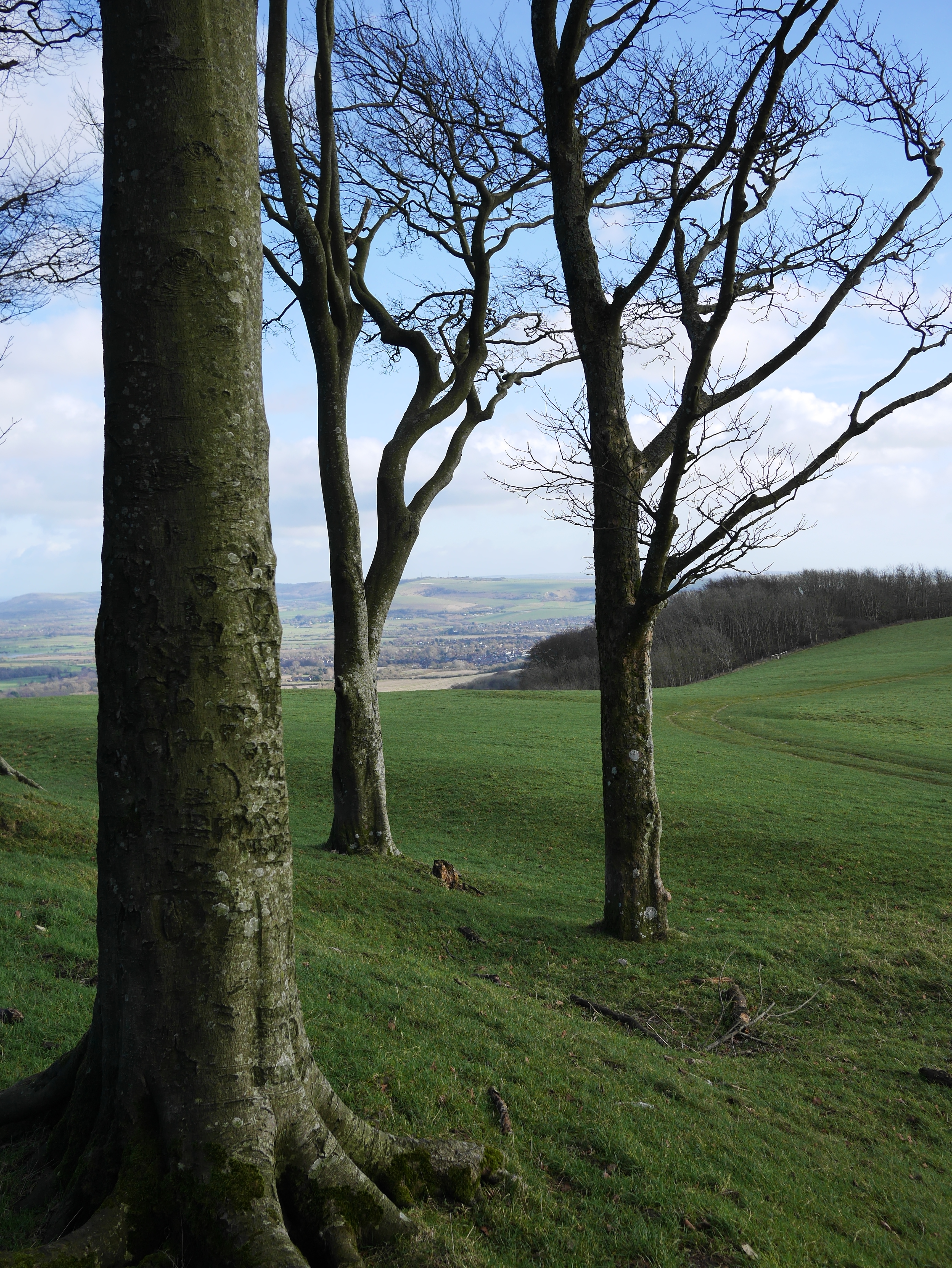
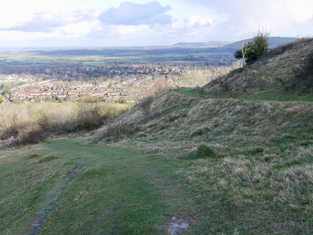
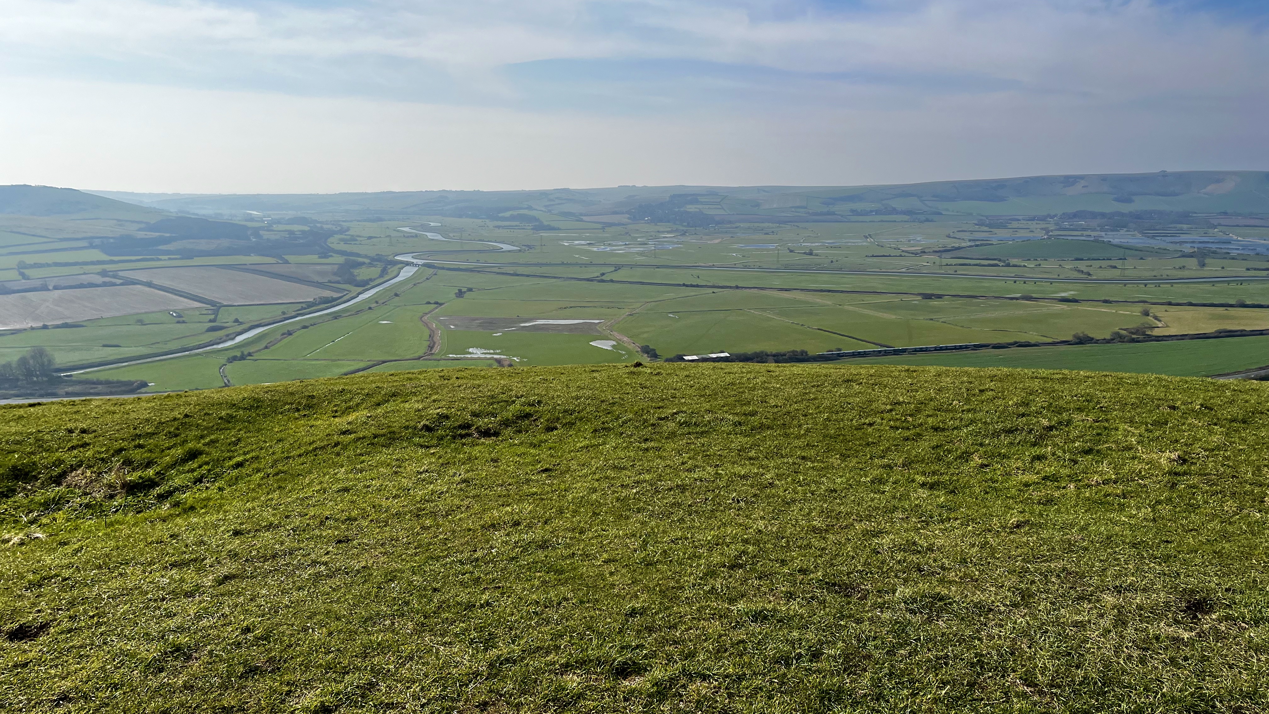
The views from the fort are amazing, the steep scarp plunging into the sweep of the flooded Ouse valley, the views of the downs, Lewes and weald explain the fort’s important position in the landscape. Despite the strong sun, a brisk easterly wind made it a fresh day so the lee of the forts ramparts made a great place to sit and enjoy an early lunch in the sun out of the wind. I was in no great rush and the opportunity to simply sit on my warm, dry foam mat and take in the vast scene in the noonday sun was relaxing. It’s a good spot.
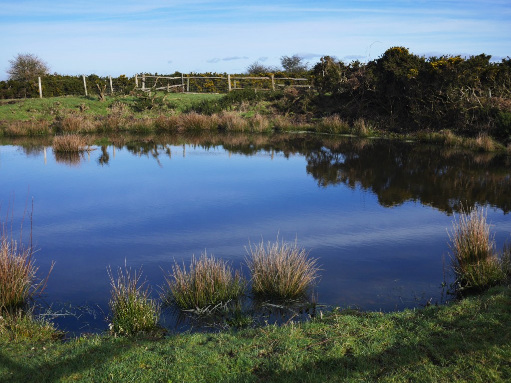
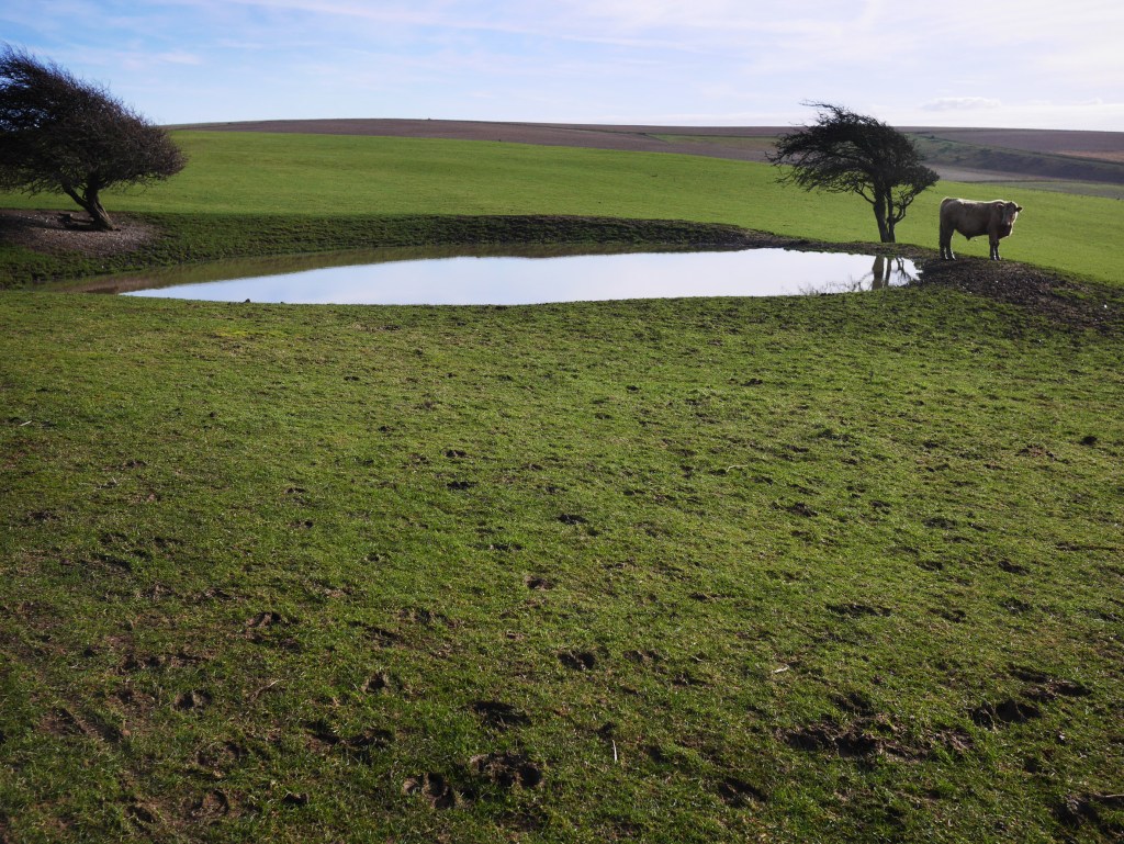
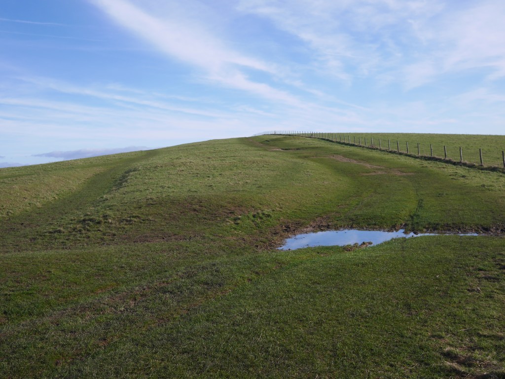
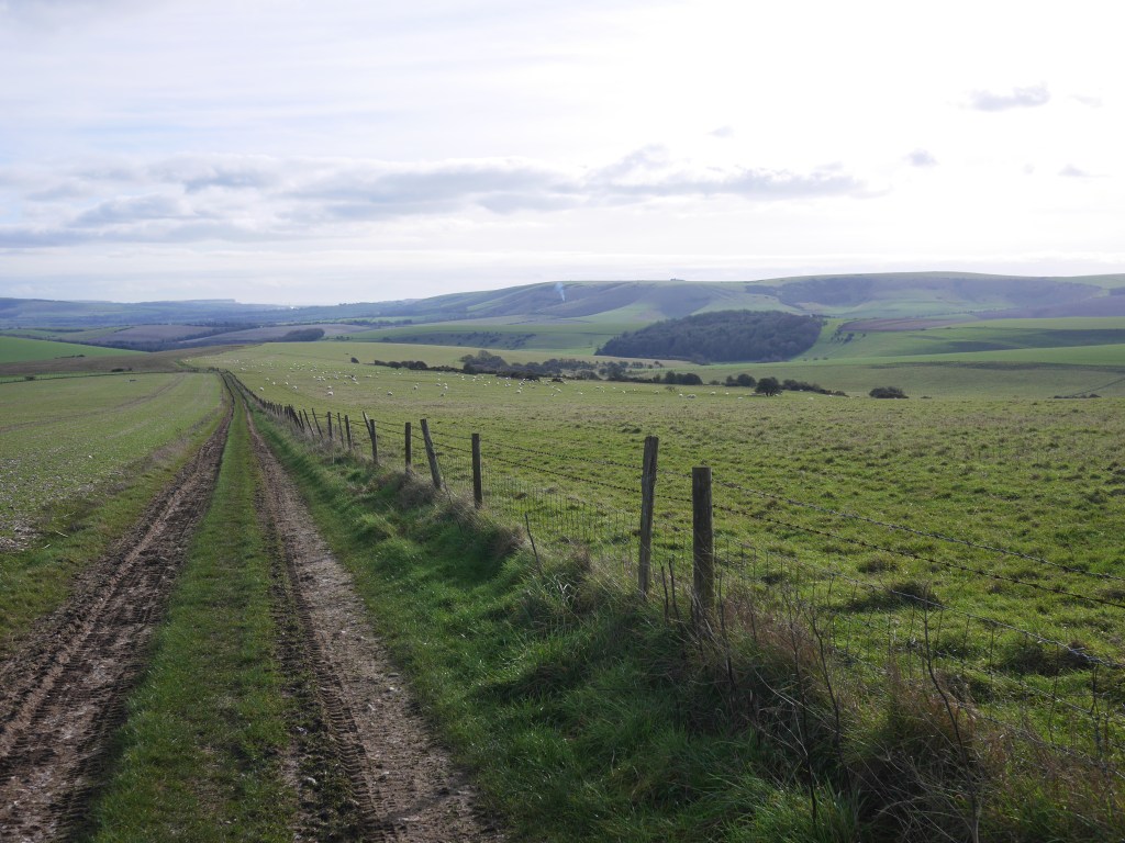
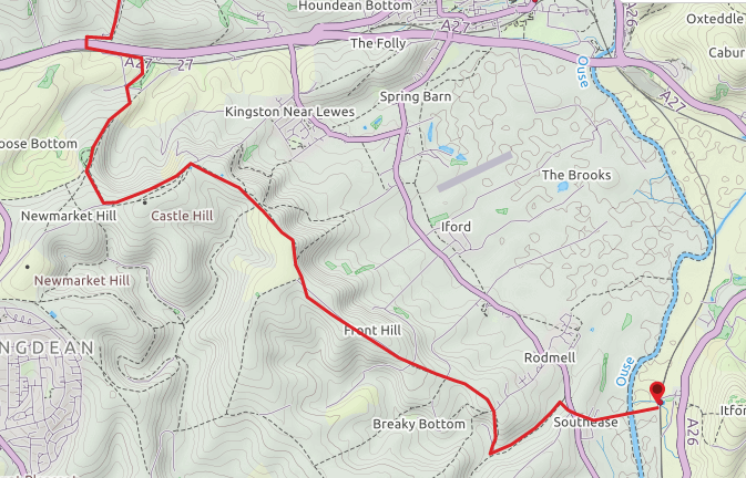
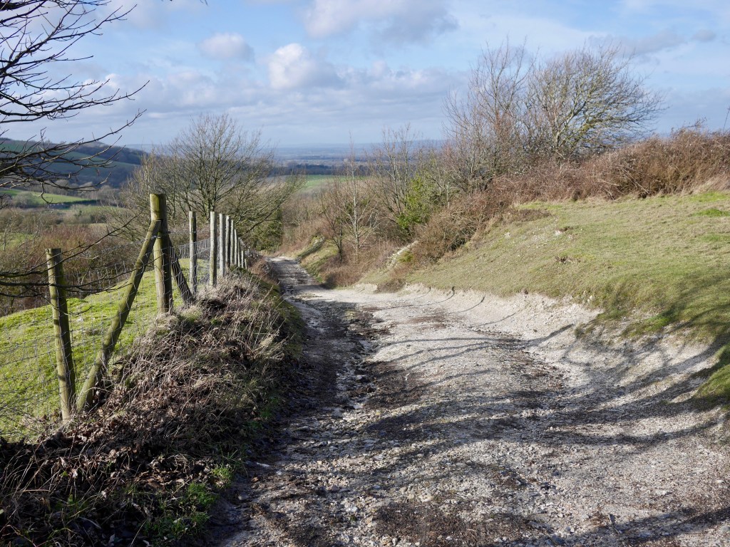
From the fort walk northwest towards the stile into the rough slope above Caburn Bottom, turn left and walk northwest keeping the fence line to your left (there is another stile into the field adjacent, ignore this) and follow the rough path as it tracks the dry valley below before veering to the right – northward and down to the bottom of the valley and a gate which takes you through the valley floor for a half mile or so heading northwest, past a dew pond and another gate before taking the path rising up the ridge flank to your right and heading west with great views of the valley until the path meets the top of Chapel lane by the golf course Clubhouse. Walk down the lane and you reach South Street at the 5 mile mark into town.
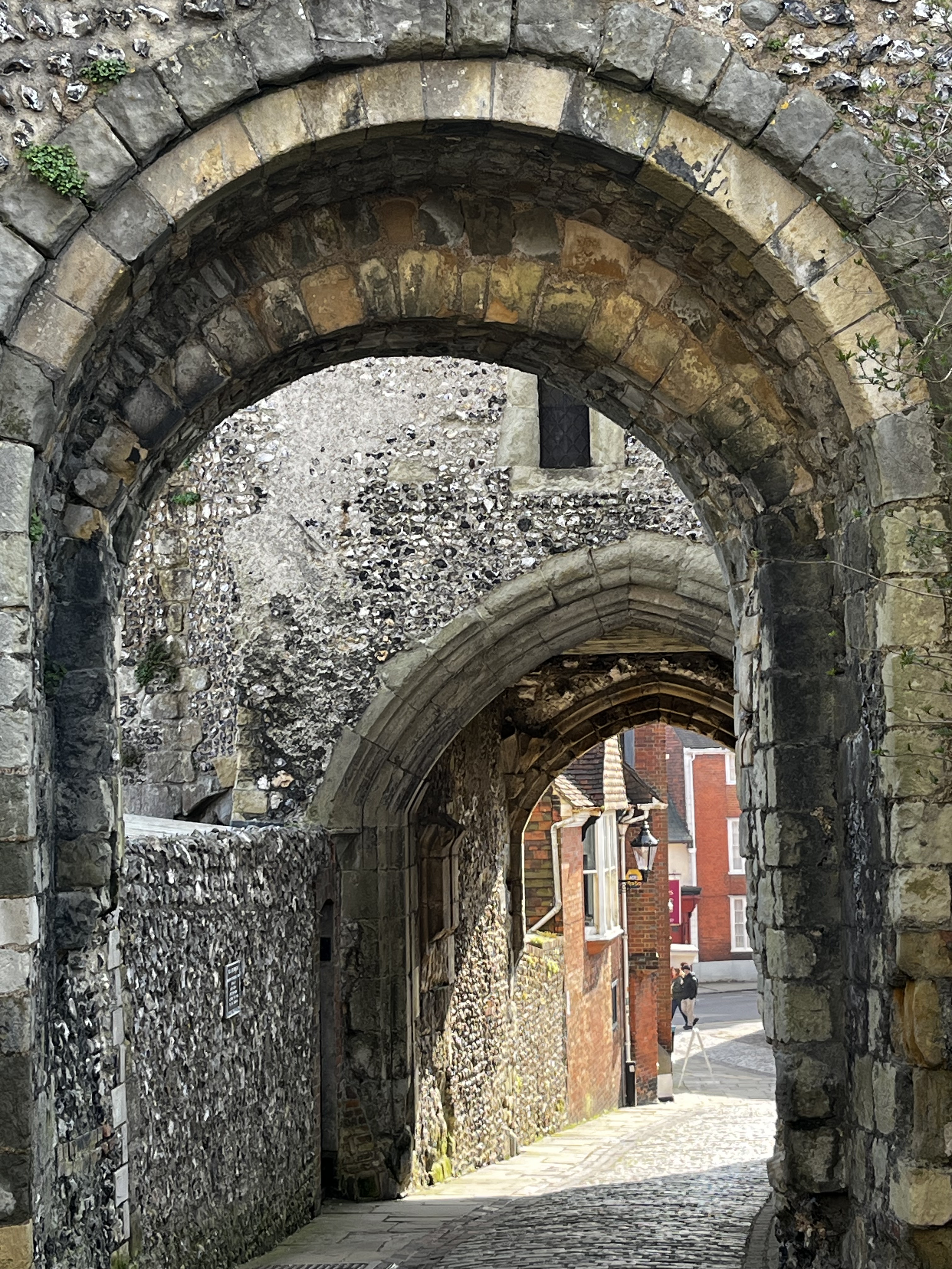

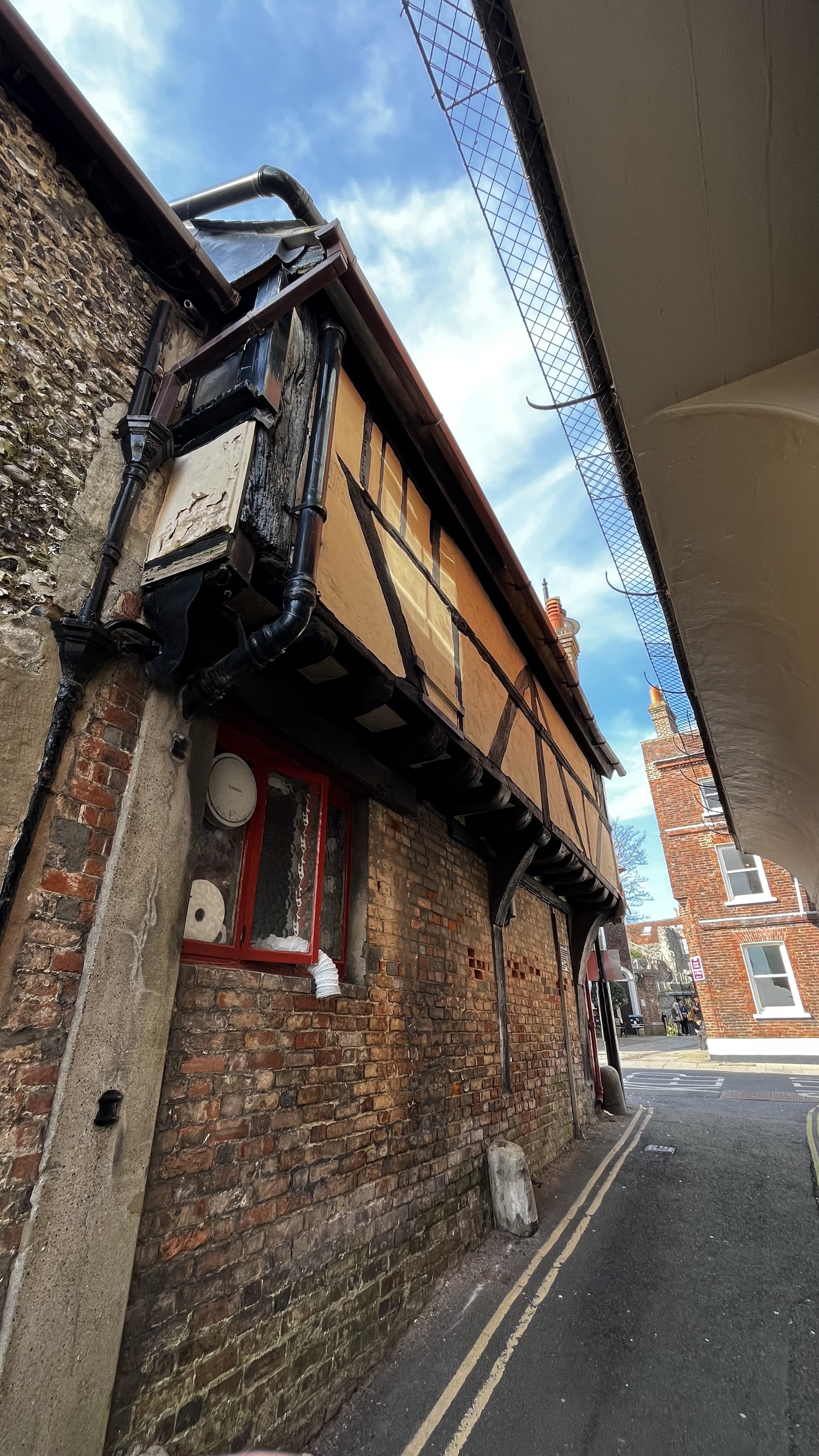
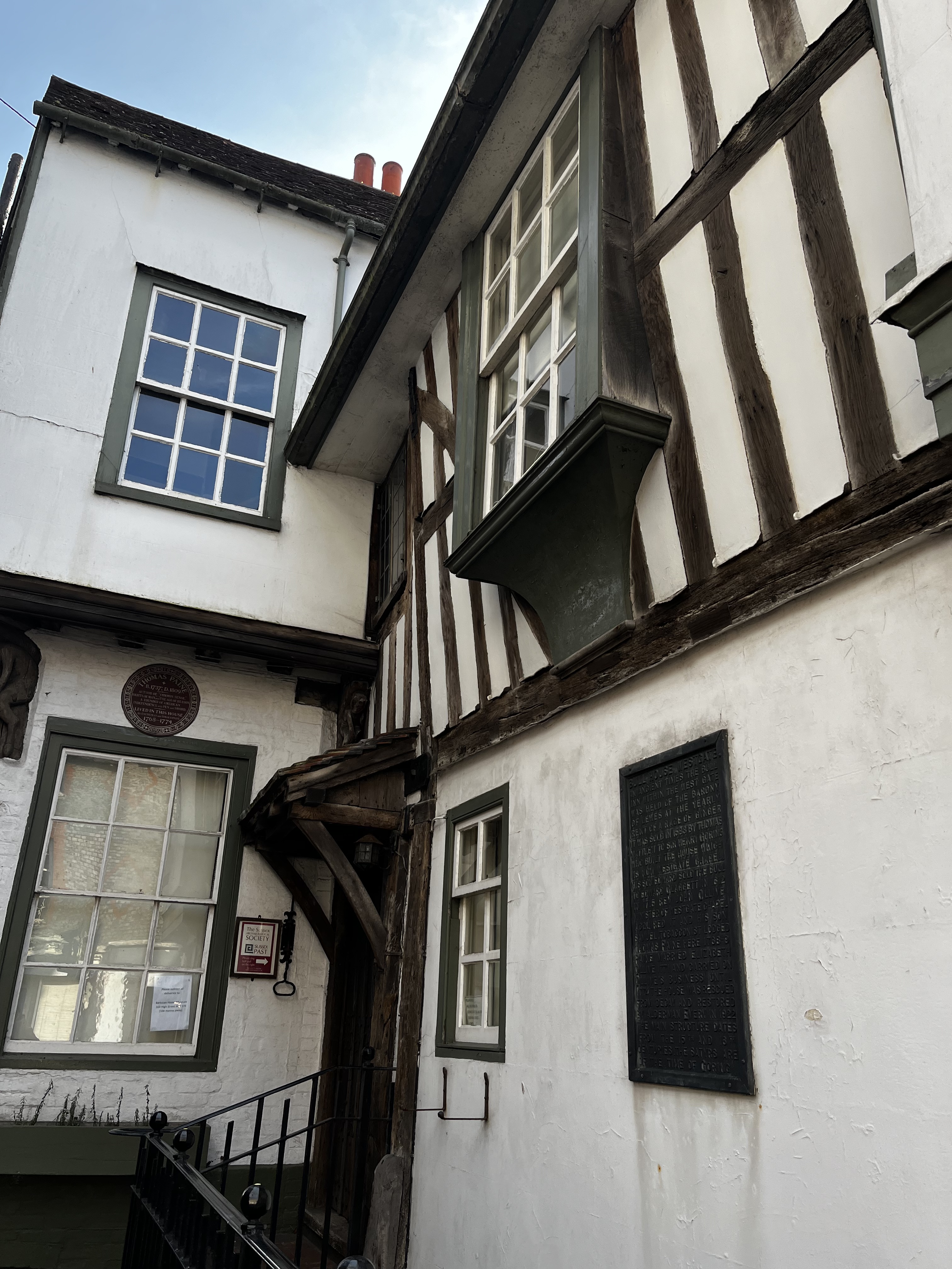

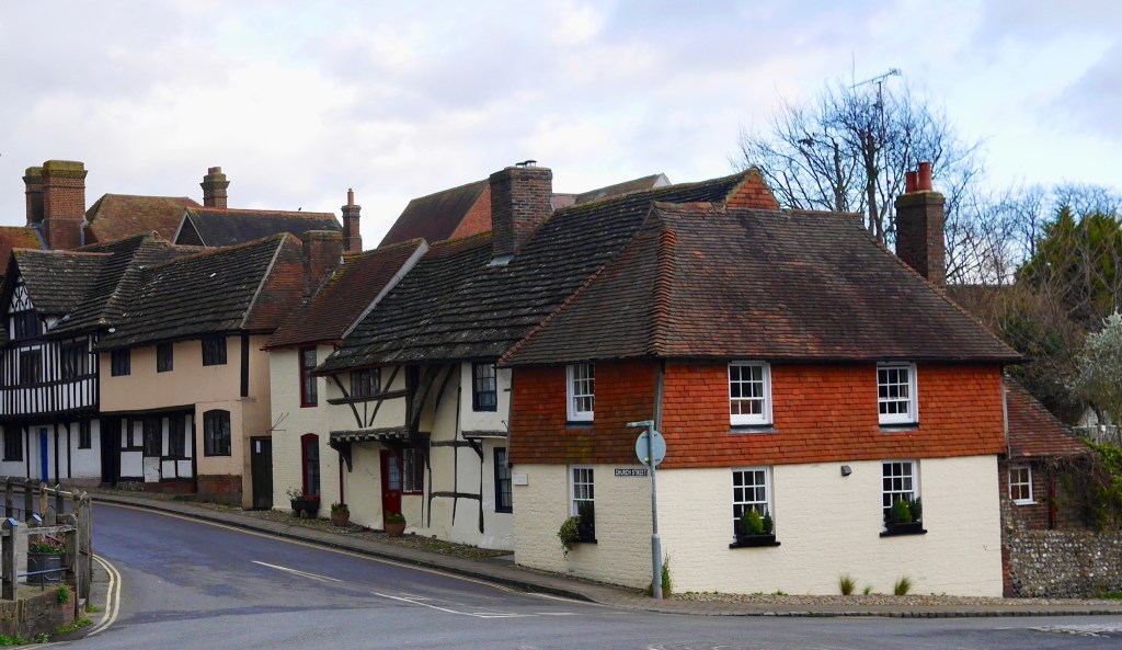
Pics of the town and its medieval architecture: dew pond in the dry valley and two of the town from the top of Chapel Lane as you come off the downs.
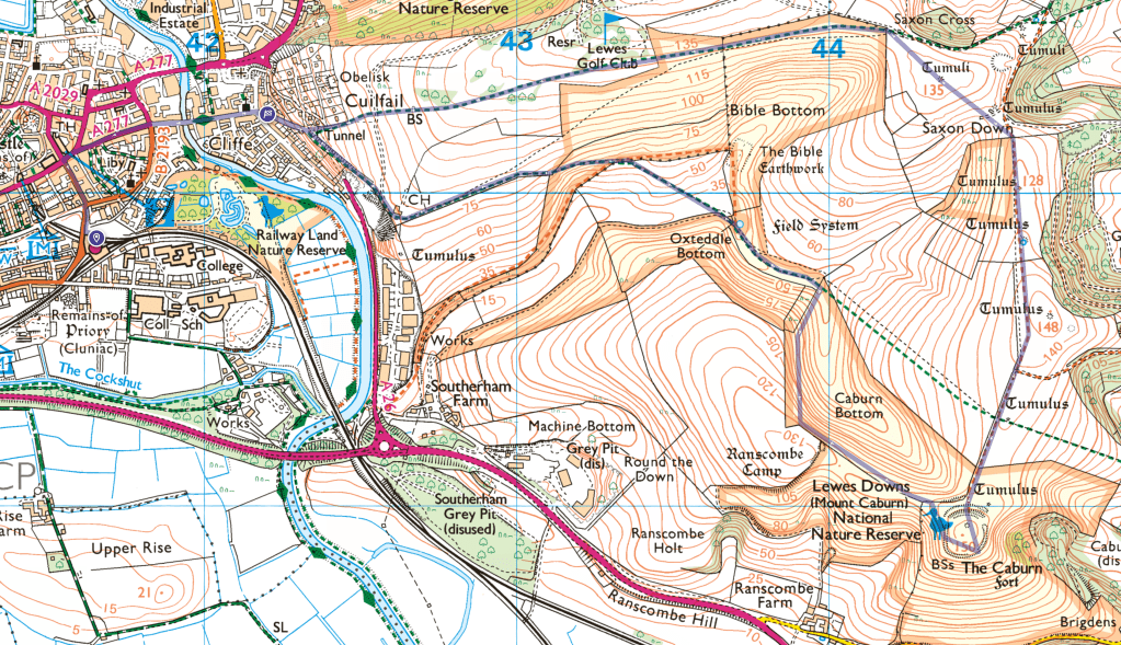
5.5 miles from the Lewes station and back, 850 ft of ascent.