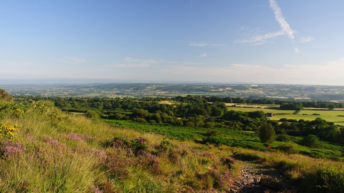
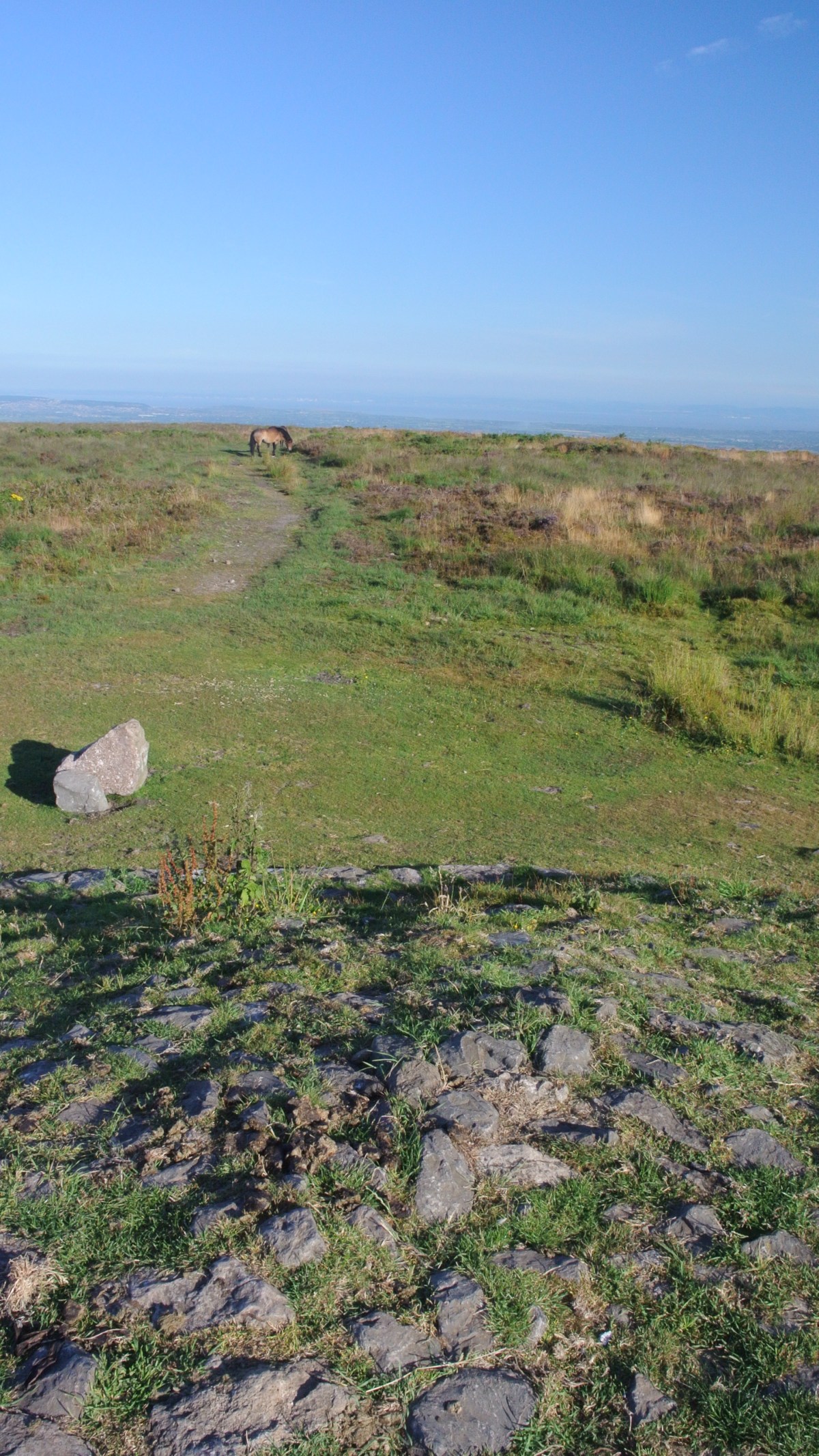
Black Down is the highest area of the Mendip Hills in Somerset, England and Beacon Batch is the highest point at 325m, just over 1000ft. On a clear day it offers fabulous views of the Bristol Channel, the Quantocks, Exmoor, the Black Mountains and Brecon Beacons, Cheddar Gorge and the easyjet planes landing and taking off at Bristol Airport.
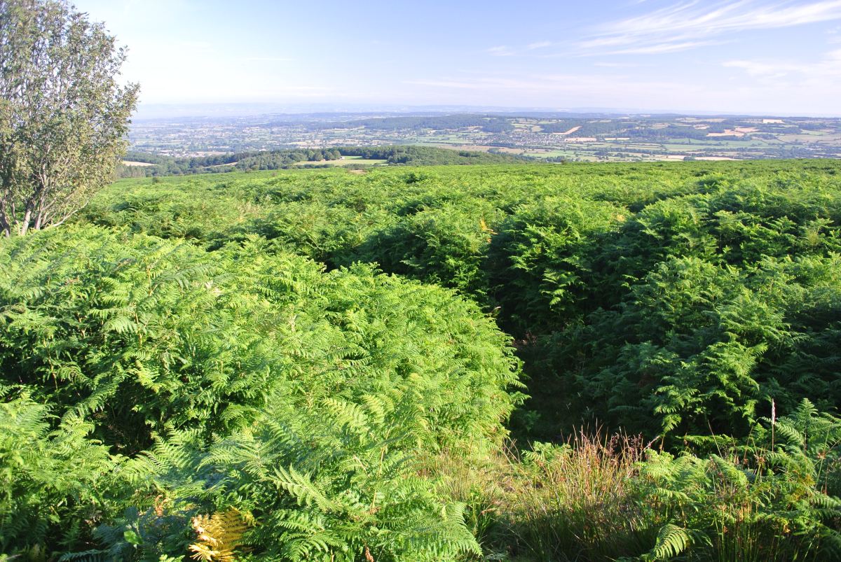
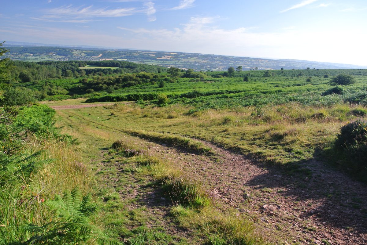
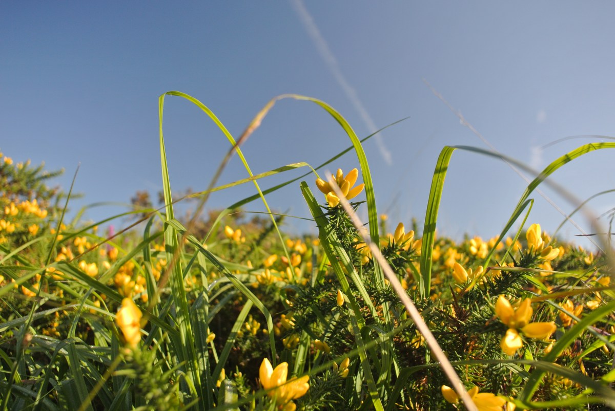
Somerset is home to the tallest sea cliffs in England and the low, flat wetlands near sea level of the Somerset levels. The Mendips AONB rises up from the levels in a 15 mile long wedge towards the Bristol Channel from Wells in the East to Brean Down in the West. The joy of Black Down is that it is ostensibly uncultivated wild heath, predominantly Bracken, Gorse, Heather, Sedges, Rowan and Silver Birch having been left to revert (though its history is one of fascinating human intervention and habitation). It offers a bracing hike on a winter’s day or a fabulous spot to linger with a picnic on a Summer’s day.
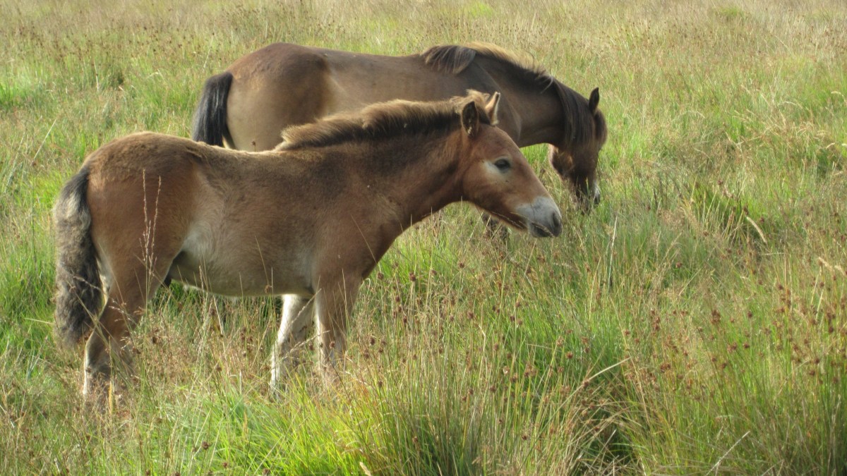
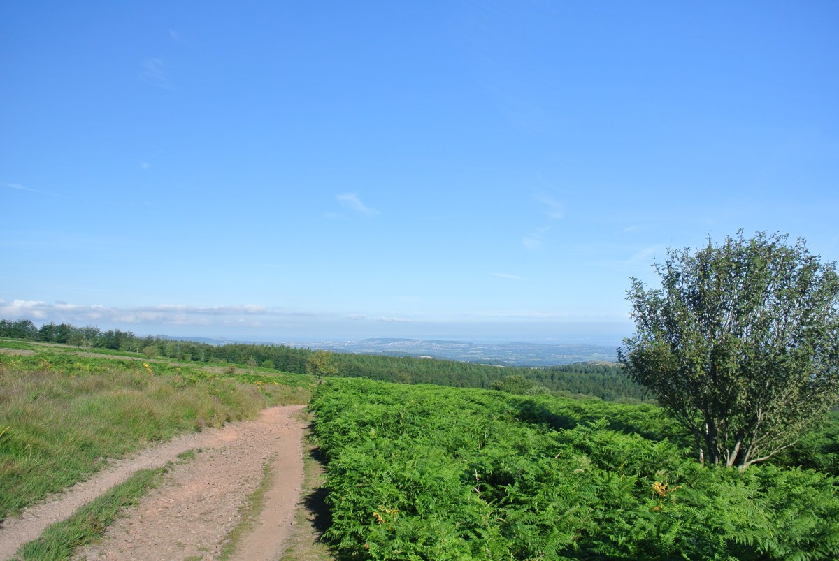
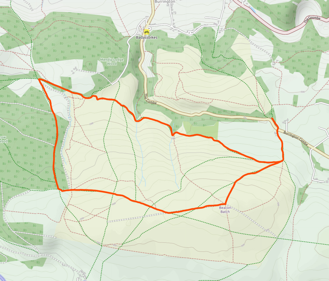
My 4.5m walk (map below) starts at the parking place by Burrington Combe. Walk up the road East about 200yds and there is a farmhouse on the right as the road rises and a path adjacent this which takes you South up a wooded path, across the jagged geological fold of limestone that leads to the open heath below the Sandstone of Beacon Batch. It’s a gratifying 400ft pull up the hill to the trig point as the views just improve with each step and at the top a great place to sit and take in the scene or converse with the ponies. The path then heads West across the heath along a straight and recently levelled path before bearing right and dipping towards the edge of the forestry plantation. This used to be my favourite stretch. A gritty meandering path that had something ‘upland’ about it. Sadly it has been ‘improved’ in recent years leaving a horrid muddy scar across the heath. If the weather is with you, the views from this stretch are fabulous. I have seen the white of a snow covered top of Pen Y Fan before now. The path reaches a gate which marks the edge of the conifer plantation. Once through this the path continues for a few hundred yards, then takes the right downhill on a rough track between the trees. The character of the walk changes becoming more enclosed. At the bottom of the hill you can choose to extend your walk to take in the outcrop and hill fort of Dolebury Warren. Otherwise, turn right and the route proceeds East along the slope of a bracken filled valley with views of the scree slopes of Burrington Combe, normally populated by agile goats. The route climbs steadily for the next mile or so, finally reaching the outward route at the boundary of the heath.