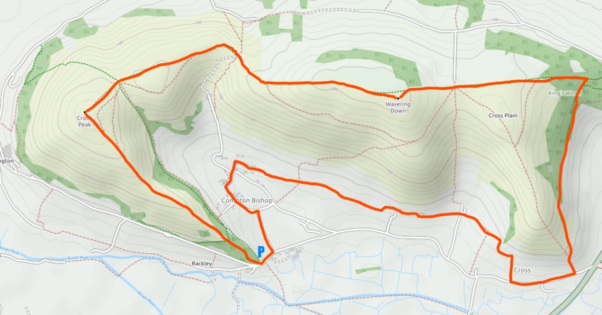
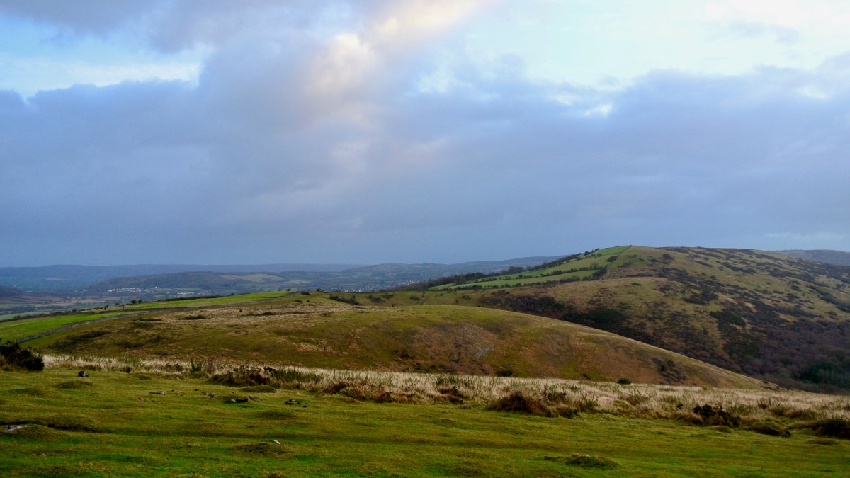
At 191m – 623 ft, Crook Peak and Wavering Down at 210m – nearly 700ft are dominant hills in the Somerset landscape and two of the most prominent features of the Mendip ridge, the scarp slope rising above the low ground to the South. There are various options for walking here to make your route longer or shorter, wooded or windy.
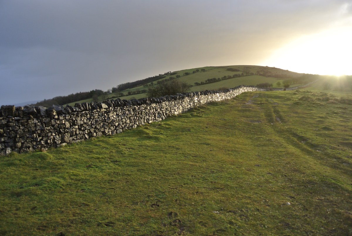
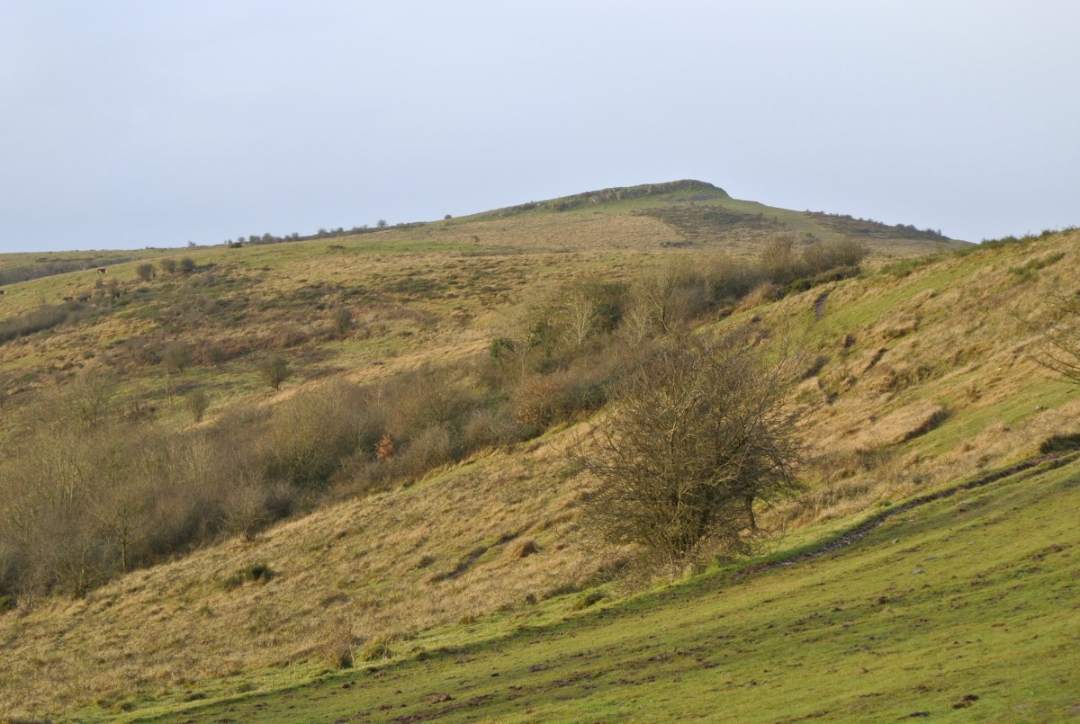
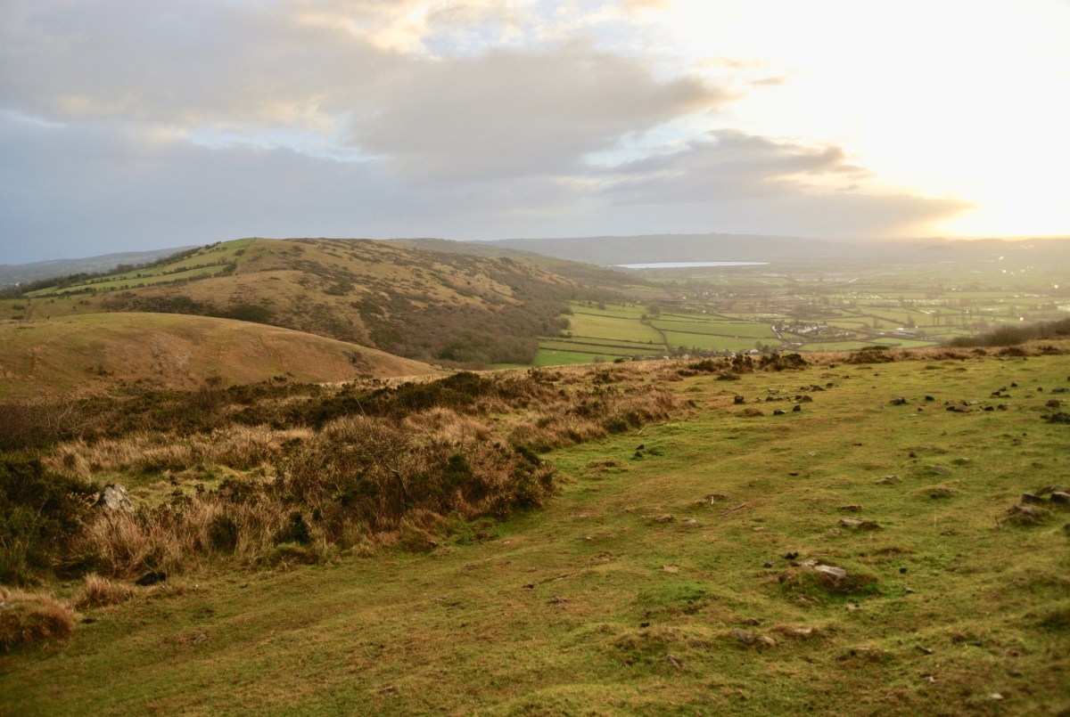
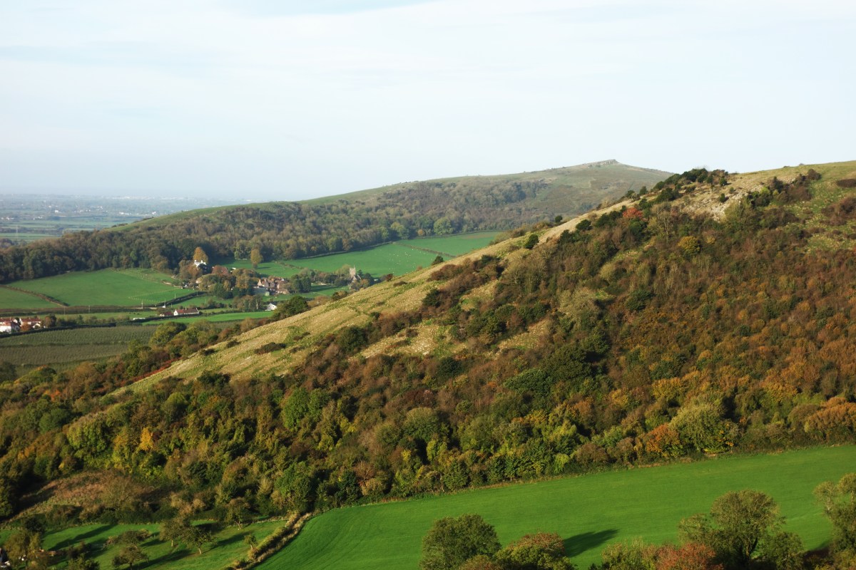
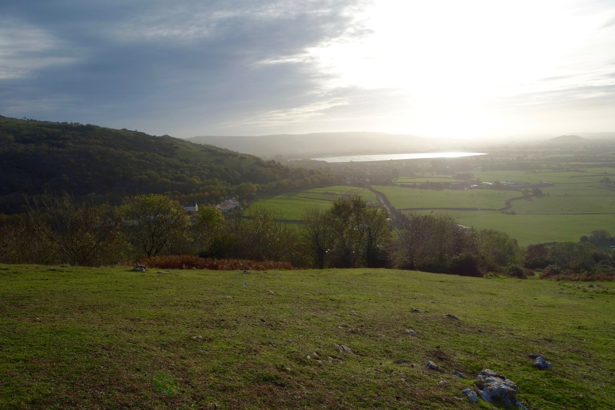
The walk involves a short strenuous pull N.W up to Crook Peak from the Webbington Road (there are a few places to park at the foot of the hill by the National Trust sign), for fabulous 360o views of Glastonbury Tor, the Bristol Channel and… ahem, the M5. Then a simple undulating walk across the ridge with a 200ft pull to the highest point at Wavering Down with fabulous views to the East. Continue W along the straight ridge path as it descends for just under a mile, then take the path to the right heading S through the woods till you reach the Old Coach Road in the village of Cross where there are a couple of pubs. Walk West along the road for a few hundred feet and there is a drove footpath heading N towards a Quarry at the foot of the ridge. Follow the path which runs roughly W from the Quarry and you ultimately come to the village of Compton Bishop nestled in a hilly horseshoe. Take the metalled road S past the Church which turns right just after the Church, bear right at the junction after Vicarage Lane and you end up on the Webbington Road a couple of hundred feet E of the car park.
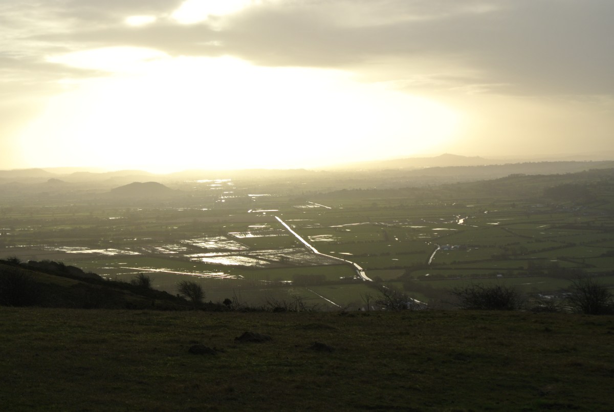
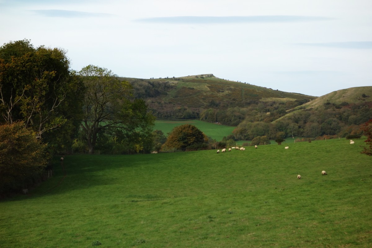
As an alternative walk off the hill which has great views back to your start point, bear right at the house and gate half a mile E of Wavering Down, walk up Cross Plain and stay on the highest point of the spur until it descends sharply overlooking the houses immediately below, then look out for a pathway to the left entering the edge of the woods. Take the next sharp right and this picks up the footpath into Cross.