It is a delight to leave London and get walking on the South Downs. Early May, mixed weather, hot sun one minute, showers the next, the new green of the woods, Beech hangers, complex bird song in the hedgerows, wild flowers in the verges, wide skies with views to match from the top of the downs, Skylarks the soundtrack.
This 11.5 mile walk West to East (map at foot) is another stretch of this national trail completed, wherever possible, with the use of public transport, leaving and returning to London in a day. In this instance train to Petersfield from Waterloo, a short cab ride, then, having completed the walk, local bus to Chichester, train to London with one short change at Havant. It sounds involved but the connections are all regular and easy.
I took the train from Waterloo to Petersfield arriving an hour or so later. There isn’t a bus to Buriton (Buriton Village used to be the start of the South Downs Way (SDW) when I first walked it in 1976; now it stretches to Winchester. Another walk for another day) so I took a 10 minute cab ride to the car park SW of Buriton at grid ref. SU 73325 19821 which sits on the SDW. The sound of lambs bleating greeted me as I got myself together and began the walk, the last remnants of a shower glistening in the immediate change to strong mid-morning sunshine. The SDW is well signposted and its route is generally W to E and while there are some deviations, signs are frequent so map reading is not a requirement.
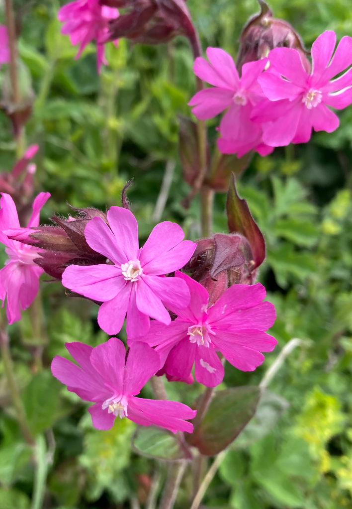
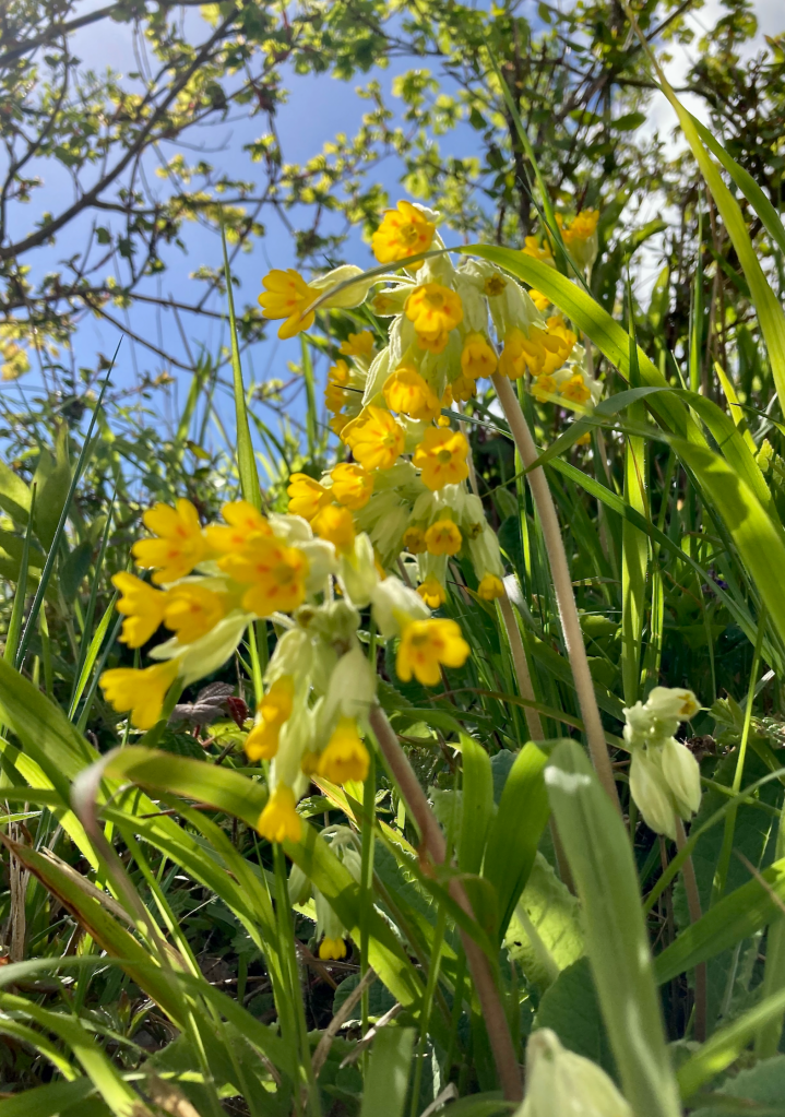
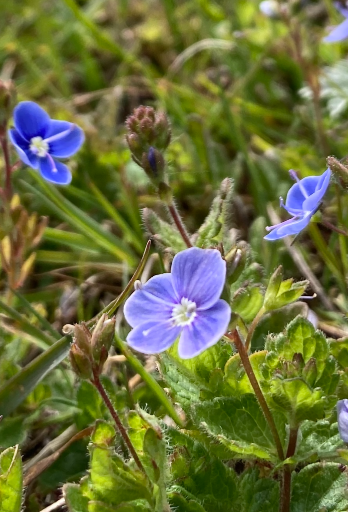
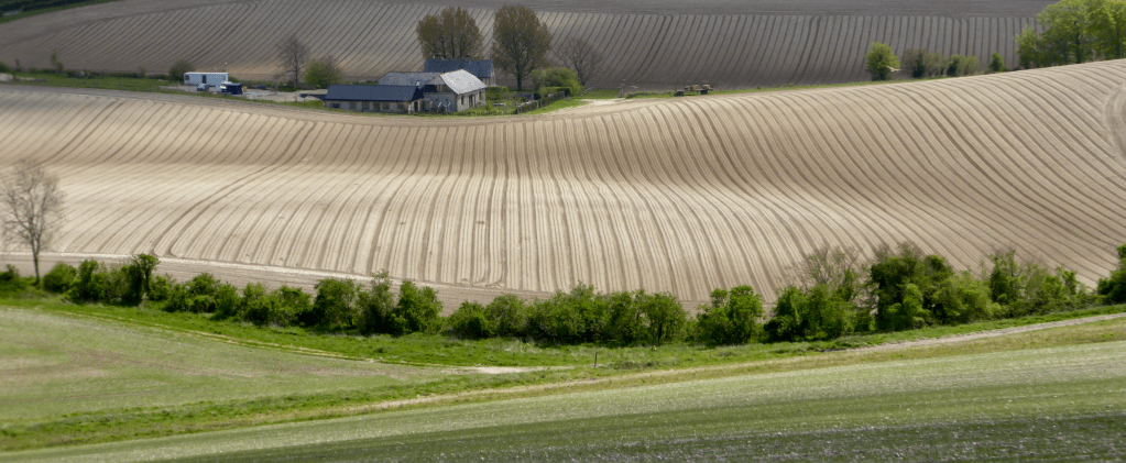
The route heads roughly E along a minor road before hitting a track, which in turn becomes another minor road. This mix of small road and track is repeated for nearly two miles through fields and a patch of woodland but is easy going and a chance to get into your stride with tantalising views through the hedges either side of Field Maple, Hazel and Traveller’s Joy to the Surrey Hills to the N and chalk tinted dry river valley fields stretching to the S. Wild flowers: Greater Stitchwort, Bluebell, Yellow Rattle, and many others are abundant.
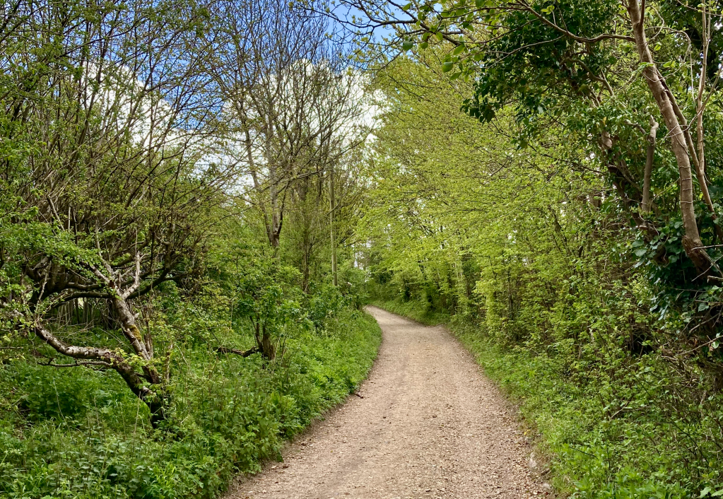
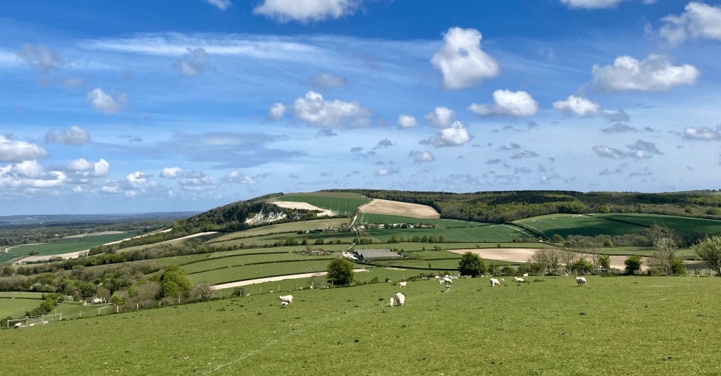
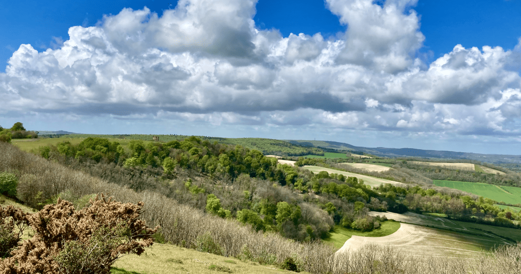
Walking through Sunwood Farm the route becomes exclusively track/footpath as you cross from Hampshire into W. Sussex, the path rising and falling through beautiful countryside. At 2.5 miles you cross a track and rise to Main Down which gives great views over the downland to come to the E. Crossing the B road at 3.4 miles you enter a delightful Beech hanger and for about half a mile the path overlooks a road below a steep scarp with views to the N. you come to another road and cross this onto Harting Down and classic downland. If the weather is with you the views have to be taken in for a while from this well preserved chalk grassland dotted with wild flowers, scrub and small trees.
There seems to be a real commitment to returning areas of the downs to chalk upland on many stretches of the Downs and elsewhere with great results. Whatever the argument that no one aspect of our landscape is ‘wild’, the fact remains that where the number and variety of species fall due to damaging practices, farming or otherwise, there is an issue to address. Efforts at Harting Down are working towards resolving the decline in species and increasing the extent of biodiverse grassland. There are fewer fences on this short stretch of the route and you do get a sense of the space and open, wilder landscape being a possibility elsewhere on the Downs. This contrasts with the other parts of the SDW which have been intensively cultivated (markedly since WW2) leaving little space for the path which is fenced in and eroded badly with constant footfall. Just four percent of ancient chalk upland intact across the whole National Park but with increased awareness of the plight of bio and geo diversity it may be possible to rewild and recover some of the land put to the plough in the past 100 years and give our flora and fauna a chance.
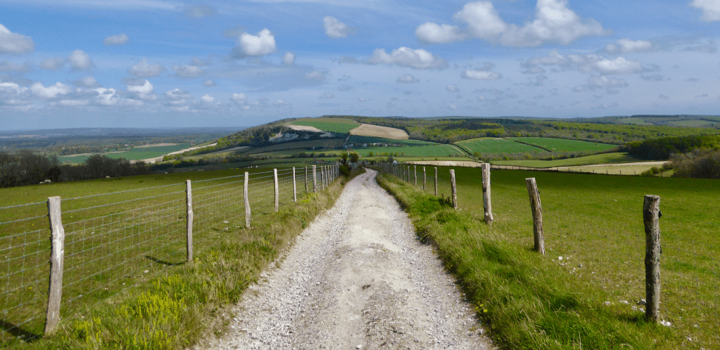
Harting Down provides some lovely walking as it leads to the foot of Beacon Hill at about the 5 mile mark. The SDW avoids the steep climb up the hill by skirting Beacon hill, cutting S then back N. I followed the SDW but on reflection I wish I had just climbed the hill. It offers more amazing views and a good place for an early lunch. Having walked around Beacon Hill, the path ascends Pen Hill, the west side of which, at about halfway, the 6 mile mark, is also a great place for a break with excellent views to the E and S before descending into chalky farmland. The path then meanders through a stretch of wood before opening up onto Didling Hill then Linch Ball, at 248 m (813 ft), the highest part of the walk.
The path continues East until approx. 10.3 miles where it leaves the SDW and heads down towards Cocking through fields and several gates. It enters a small stretch of wood then passes Crypt Farm on the left and follows the made road to the left through an old railway bridge into the small village of Cocking which has a pub opposite the sheltered bus stop at its centre. Total mileage 11.4 miles.
The weekday buses to Chichester run approx. every half hour and the ticket is £4.90. The journey to Chichester is about 30 minutes. Chichester offers hours of fabulous history with its cathedral and beautiful architecture and the station is close to the centre so easy an easy walk. The return journey to London took 1 hour 50 mins. including a change and short wait at Havant. The cost of my discounted return rail ticket was £22.00. With the cab ride and bus, I spent £38.00 on all transport excluding the cost of shoe leather.

