Why walk?

The Great Ridge, Peak District National Park
The Great Ridge, Peak District. ©Chris Hepburn. Getty Images

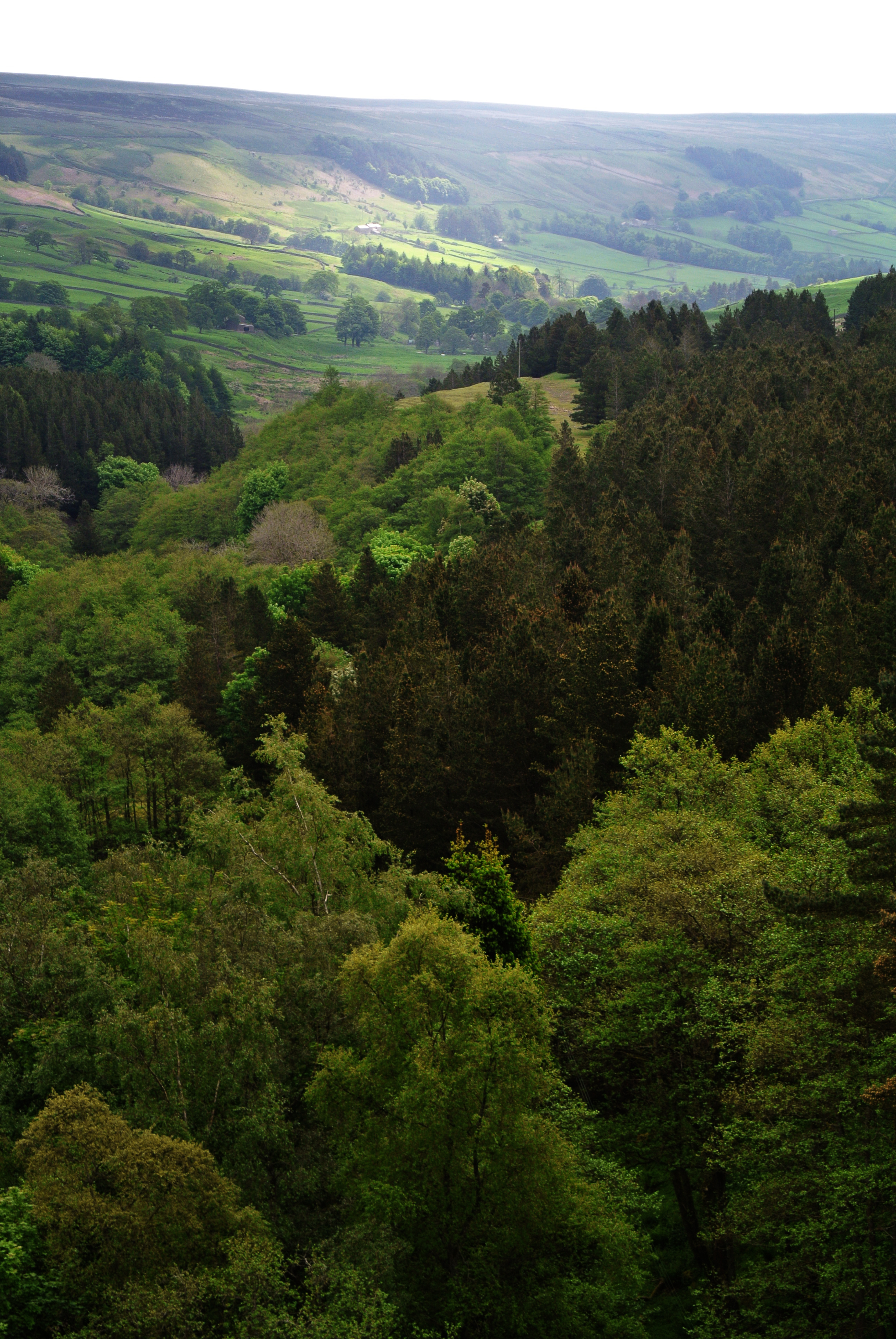
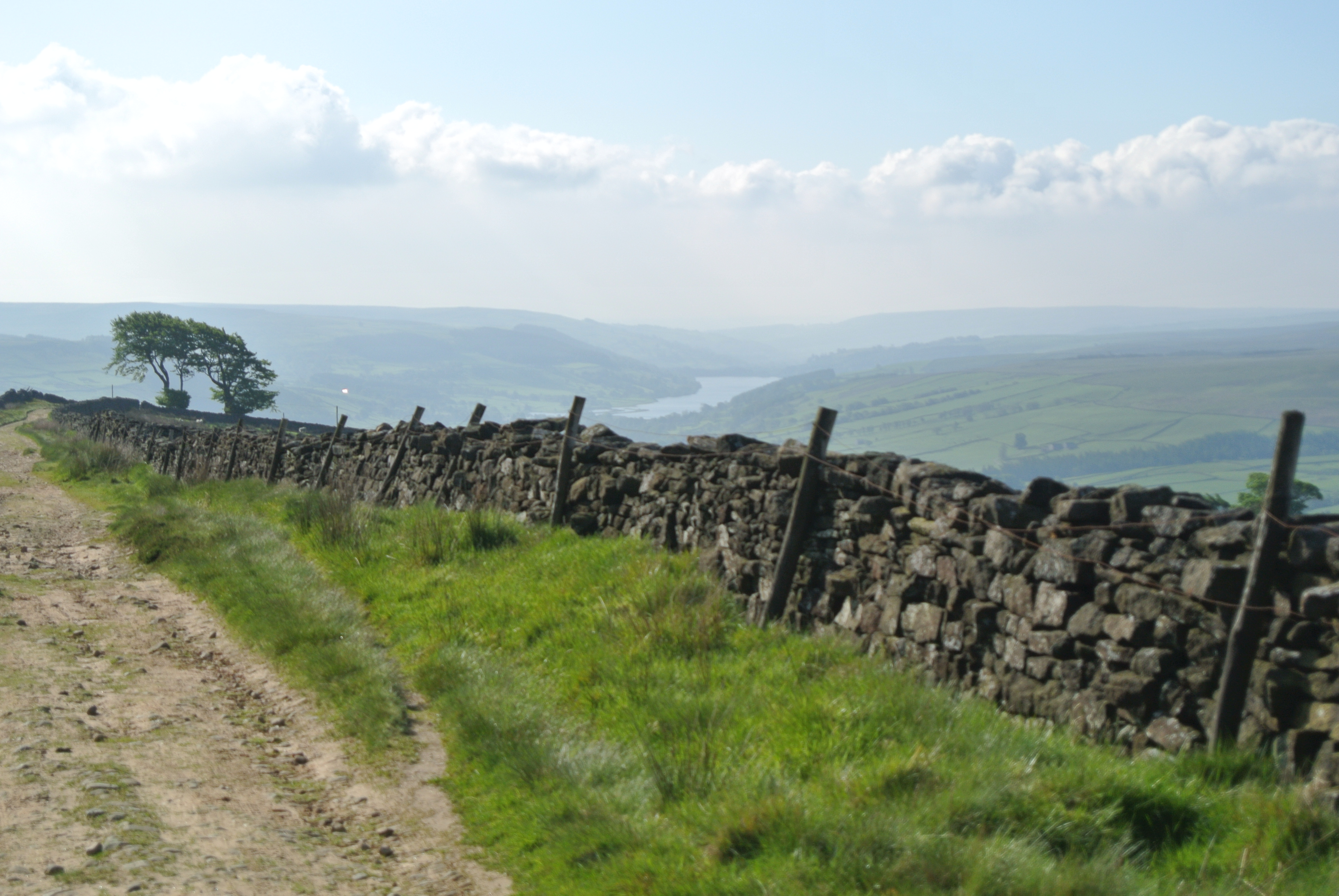
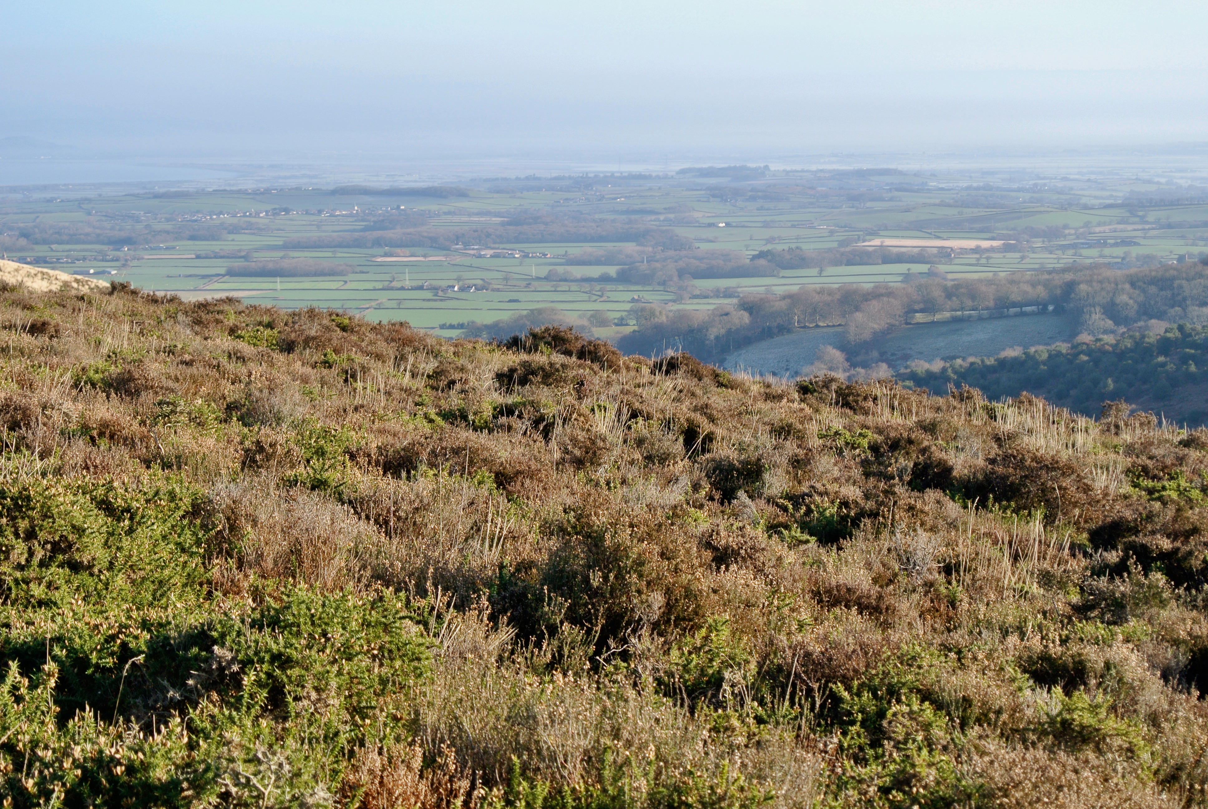
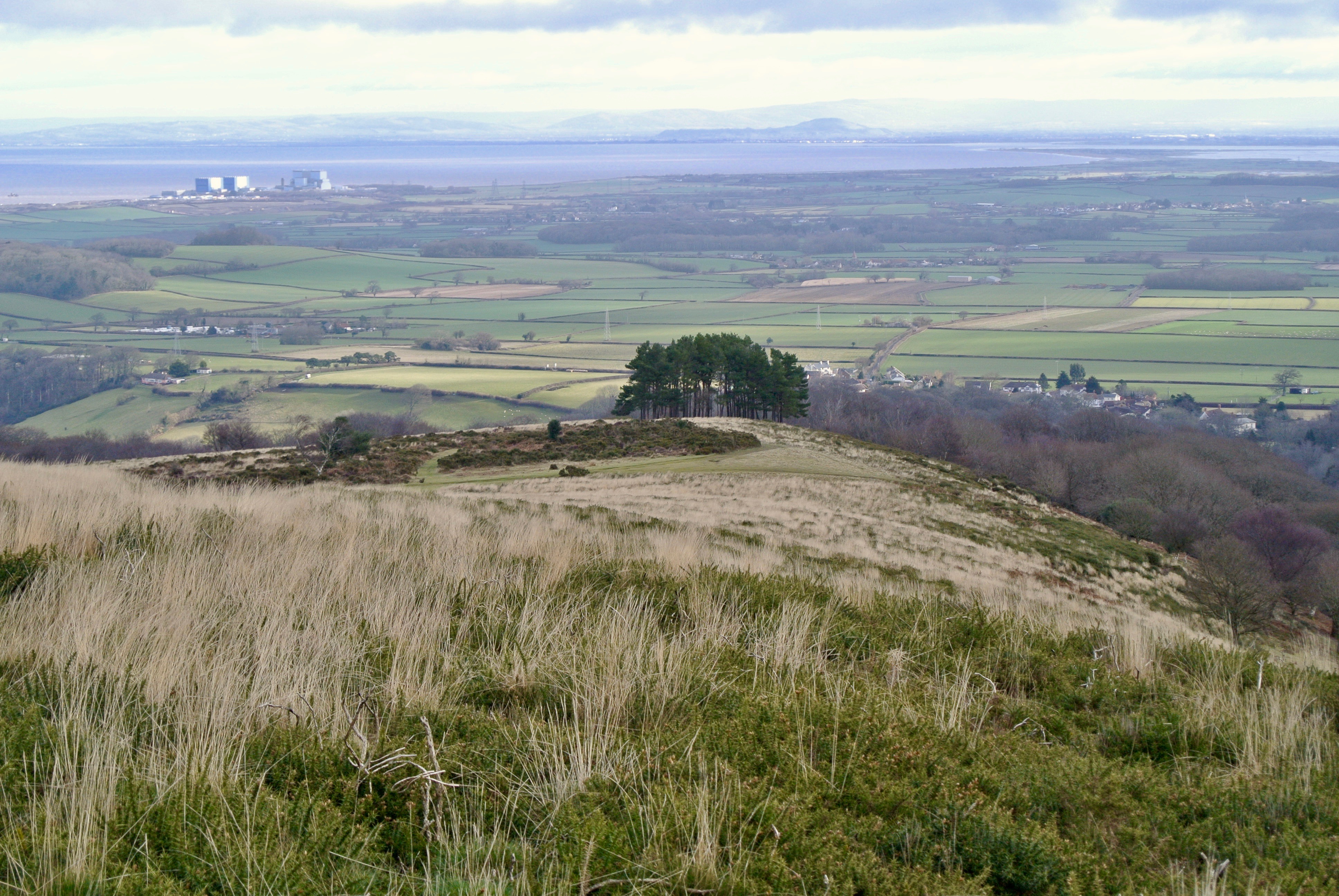
I rediscovered the sheer enjoyment, the benefits (and some of the pain) of walking in valleys, vales, on hills and moors quite late in life. A youthful interest in the countryside and ‘hiking’ as it was then known, morphed into thirty busy years at a desk ensuring I was truly unfit. It hadn’t occurred to me to change my approach to health and fitness as I felt OK. But Ill health creeps up. Laziness, no interest in active sports, bad habits and poor posture allied to miserably large intake food and drink and quite suddenly you realise you are really not in very good condition at all and that a few things don’t work as well as they once did.

I was working on a design project for a client, EULAR (The European League Against Rheumatism) and looking for images for use online that would inspire those living with the condition to try something new for the health and social benefits while instilling confidence in their abilities. I was acutely aware of what this meant as I have a history of problems with a few disks in my spine and over the decades have spent weeks at a time lying flat on max pain relief while pain and spasms subside from my abraded sciatic nerve. It was my back surgeon who explained that confidence is key to full recovery. Being aware of my back ‘failure’ I had convinced myself that I needed to be careful, which really meant taking it quite easy. And working hard at a desk felt like a good place to be, as did the the chair in the bar of my local.

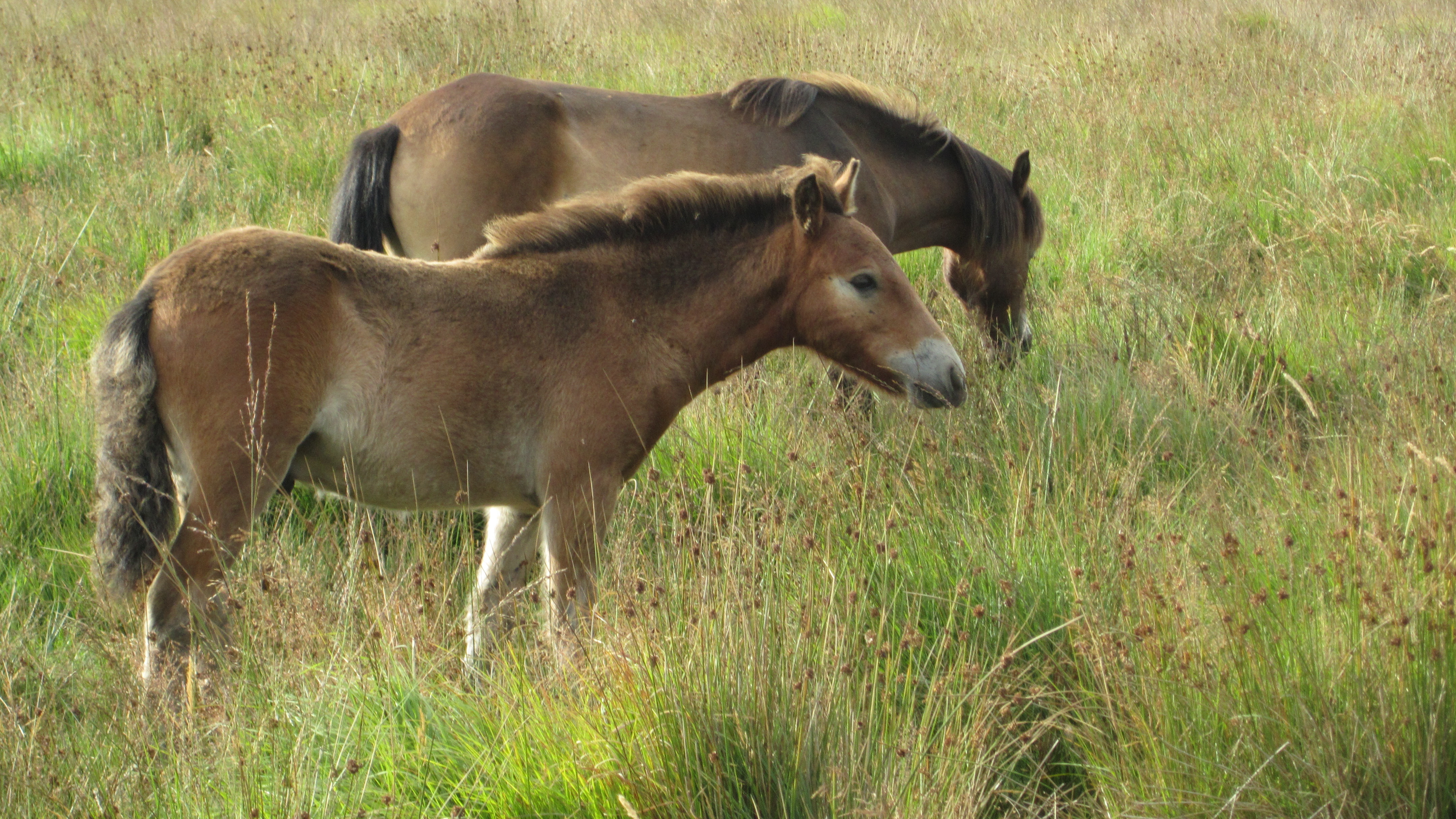
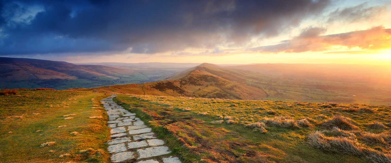
It was at my desk that I came across a brilliant image of an older woman climbing a made path up a hill in the UK. But I didn’t know where it had been taken. It was the age of the walker that struck me. Twenty years older than me and getting into the heart of the great outdoors rather than sitting by a car with a small picnic table and thermos, looking at the view (The image was of the Great Ridge in the Peak District).

And that was it. I wanted to get walking with a pack again. It suited my interests and my physique, I’m no runner. It also suited family life. I could find somewhere interesting to walk pretty much wherever I was and it was something I could do early in the day, not impinging on the mechanics of family life too greatly at home or on holiday.  It might also get us into the country as a family.

It took ages to feel appreciably fitter. My first four mile jaunt left me gasping for breath on a bench after one mile. As did the second and so on… A year later and I didn’t have to stop. I chose a fixed route on our local heath in order to get the miles in. I pushed the pace from day one and I now do the four mile circuit in just over an hour with 400 ft of ascent. Not earth shattering but I get out of breath, so perfect for me. And it worked in making me feel better about just getting out there, feeling better and not feeling self conscious. My confidence in my bodily health and what I can achieve has grown remarkably.  I know my limits but more importantly I have broadened and improved my capabilities. Put together with the remarkable kit and clothing available today and my hunger for new and bigger challenges grows. Walking/backpacking has changed my life and made me aware of just how many accessible, diverse and extraordinary the landscapes there are in the UK.

So thank you EULAR and the pensioner on a hill for helping me to find the inspiration to just get walking.

‘Brecon Beacons’ walk – South Wales

DSC_0630
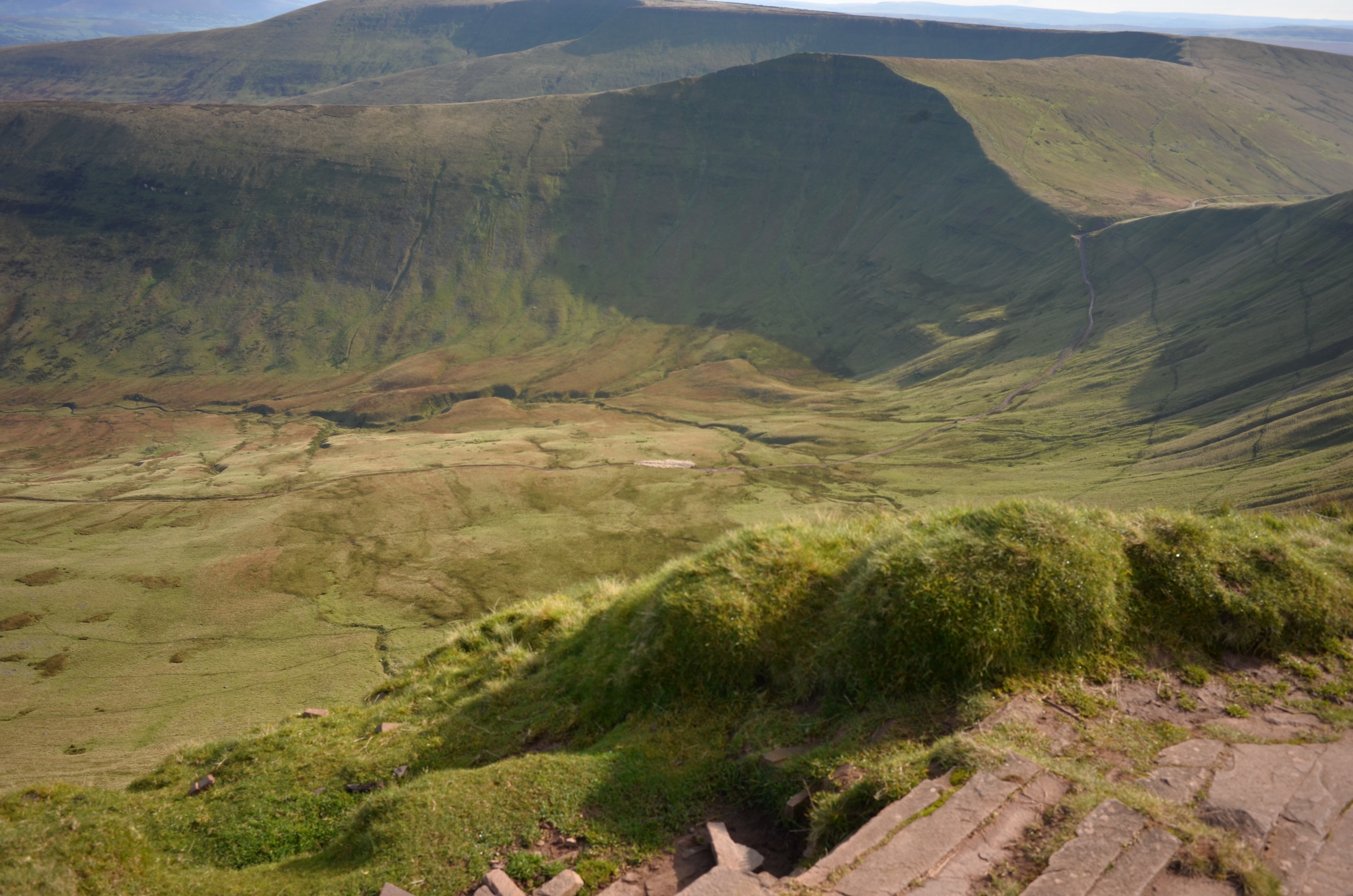
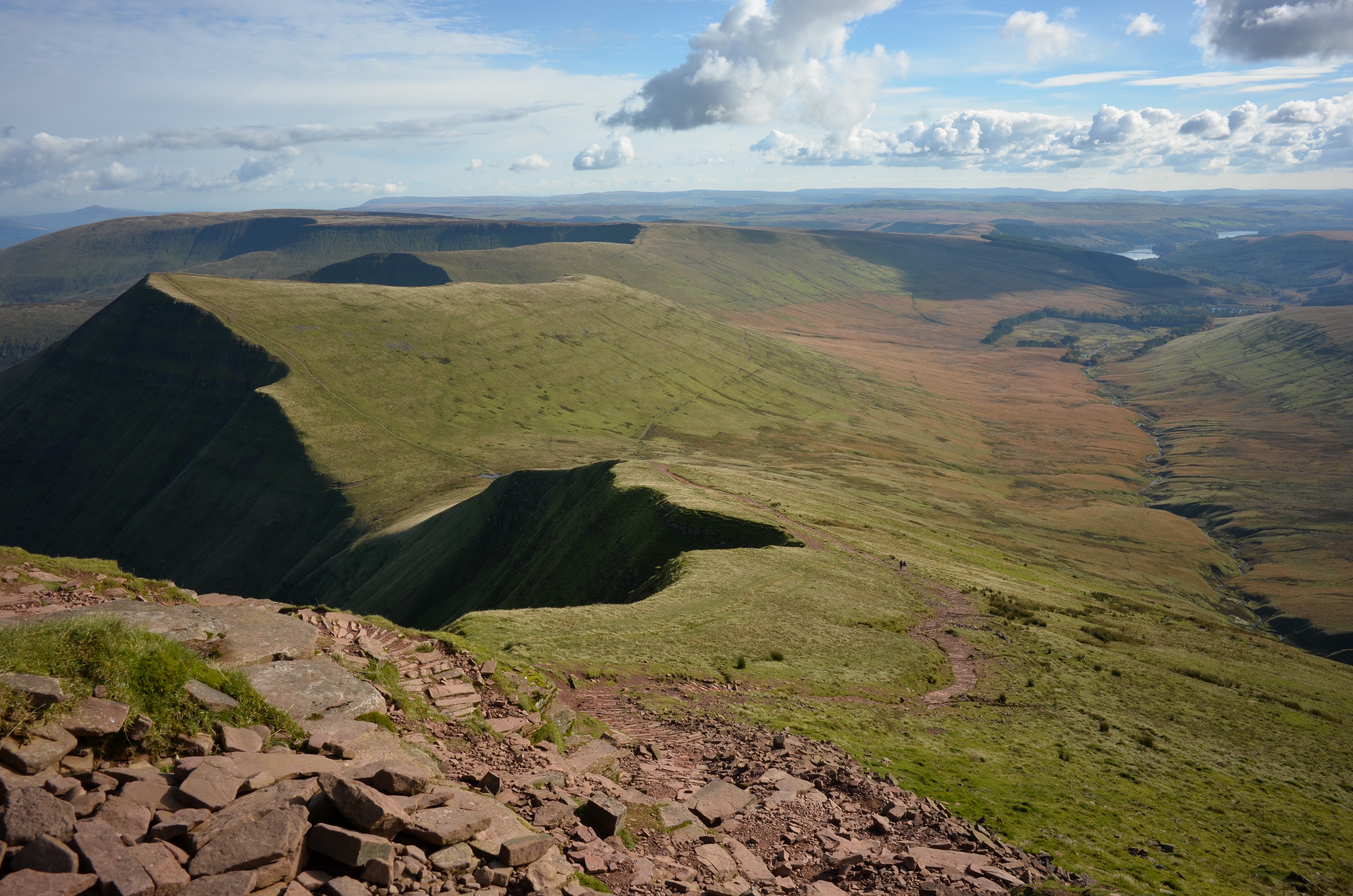
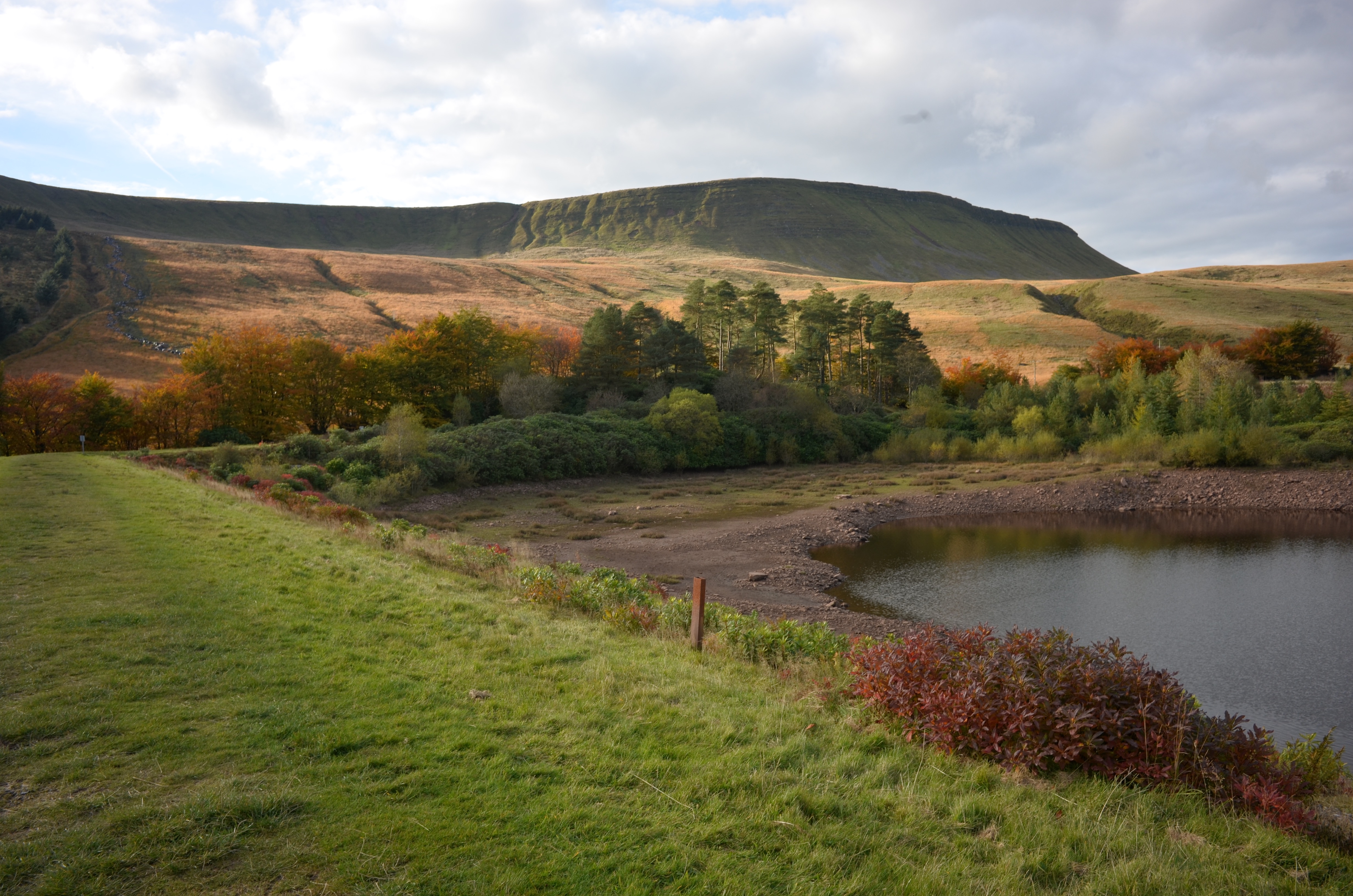
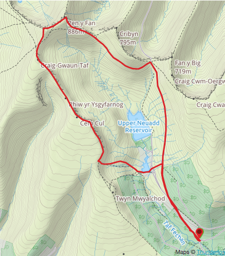
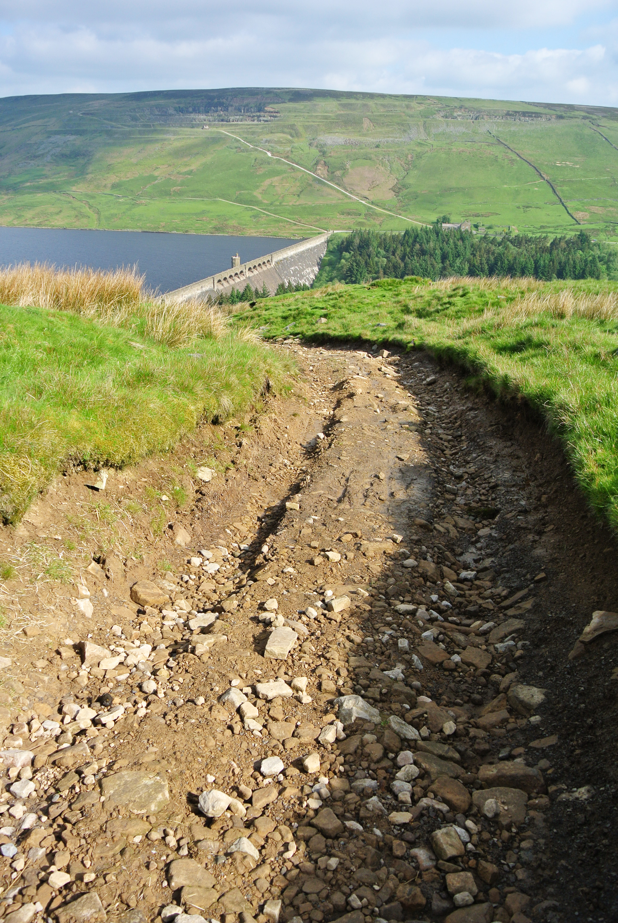
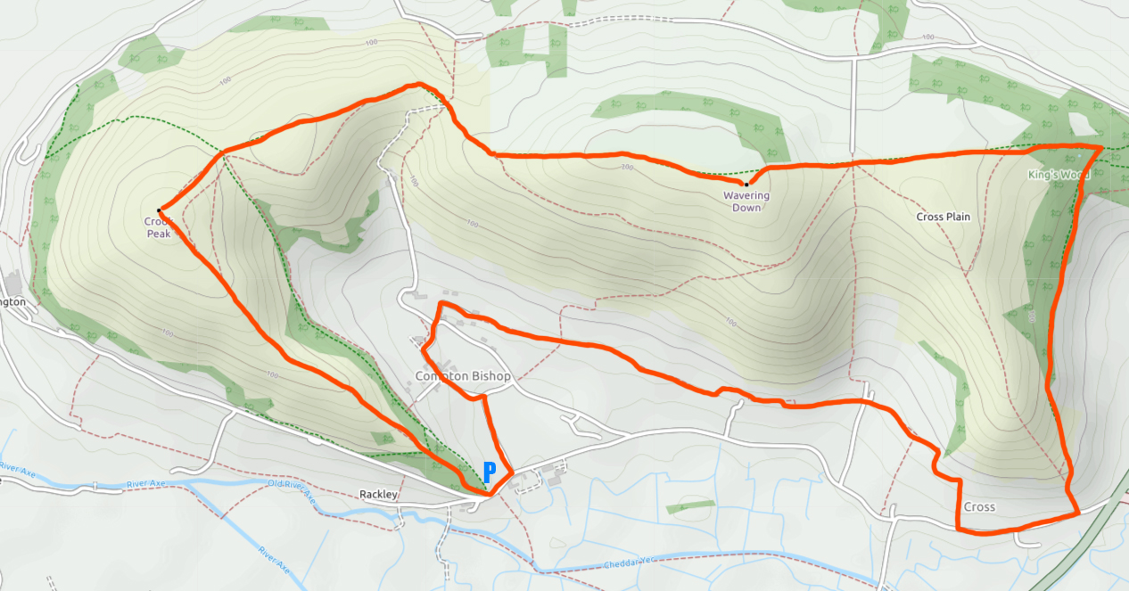
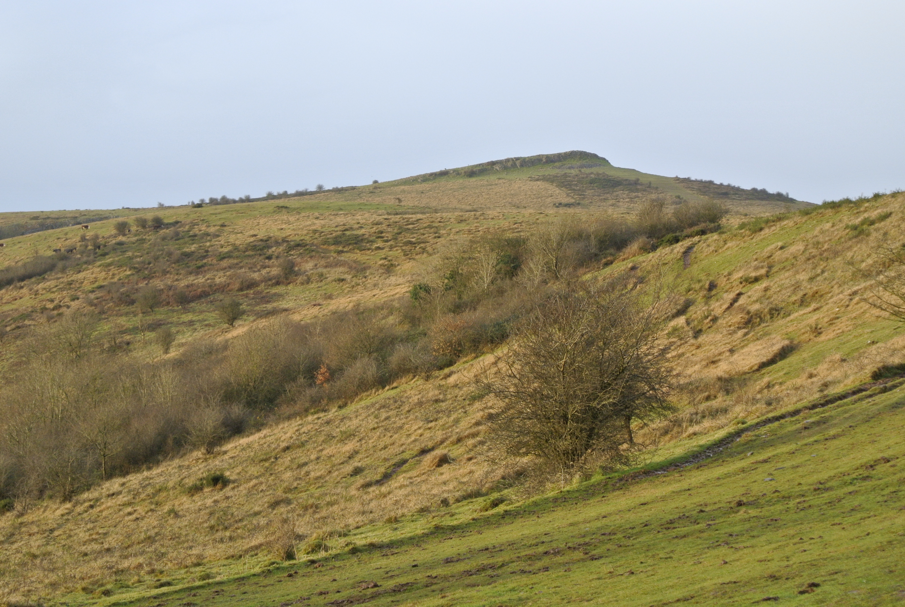
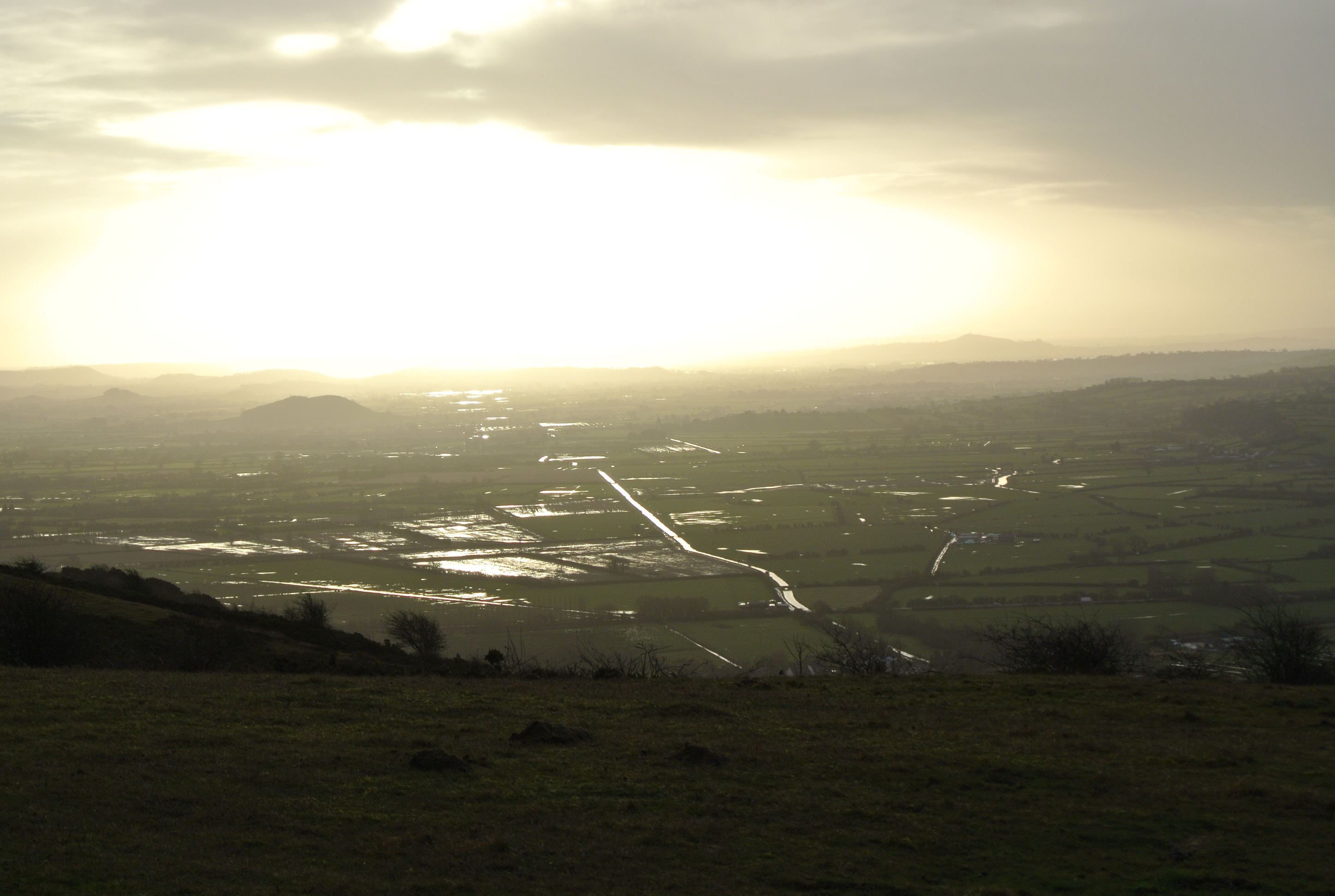
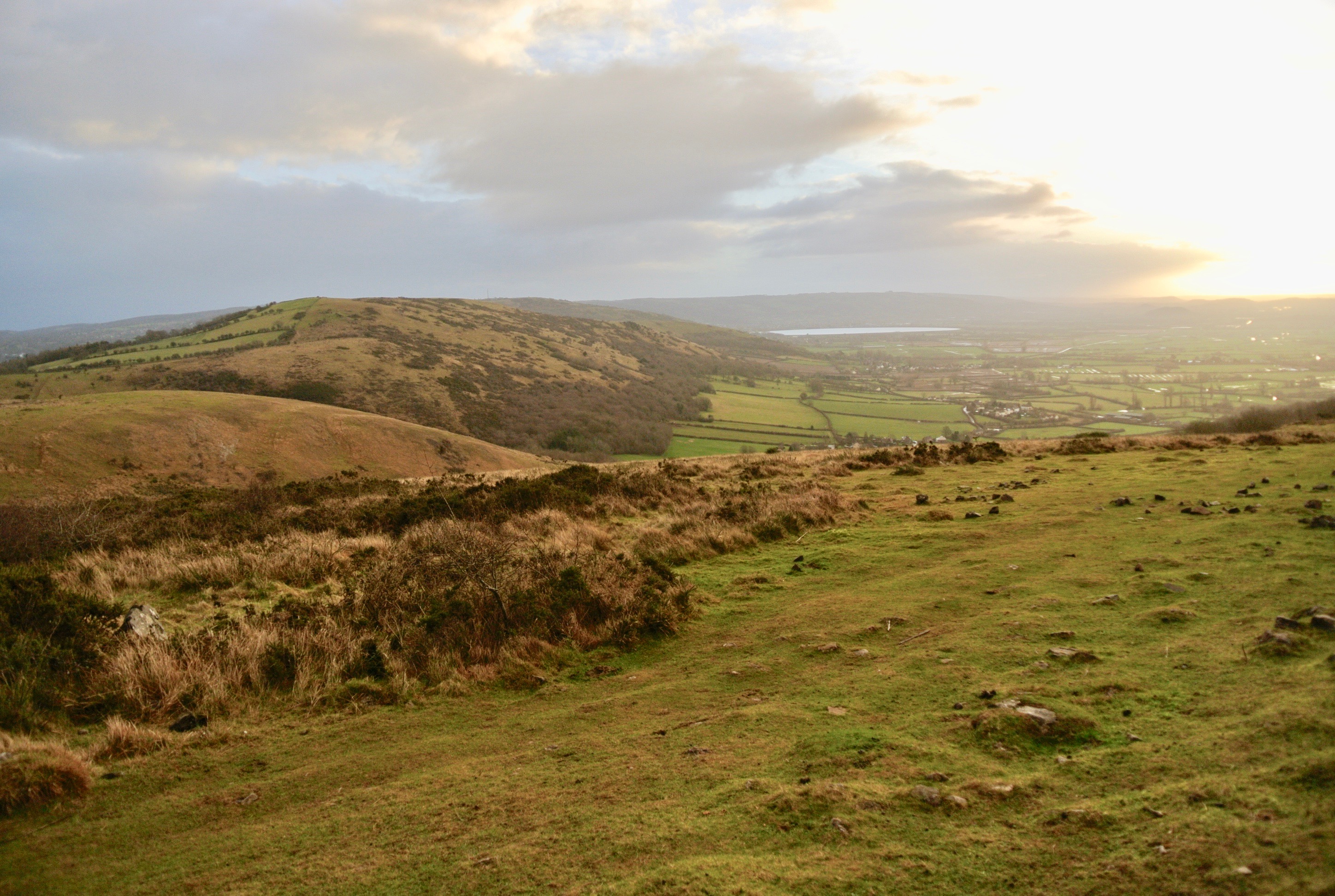
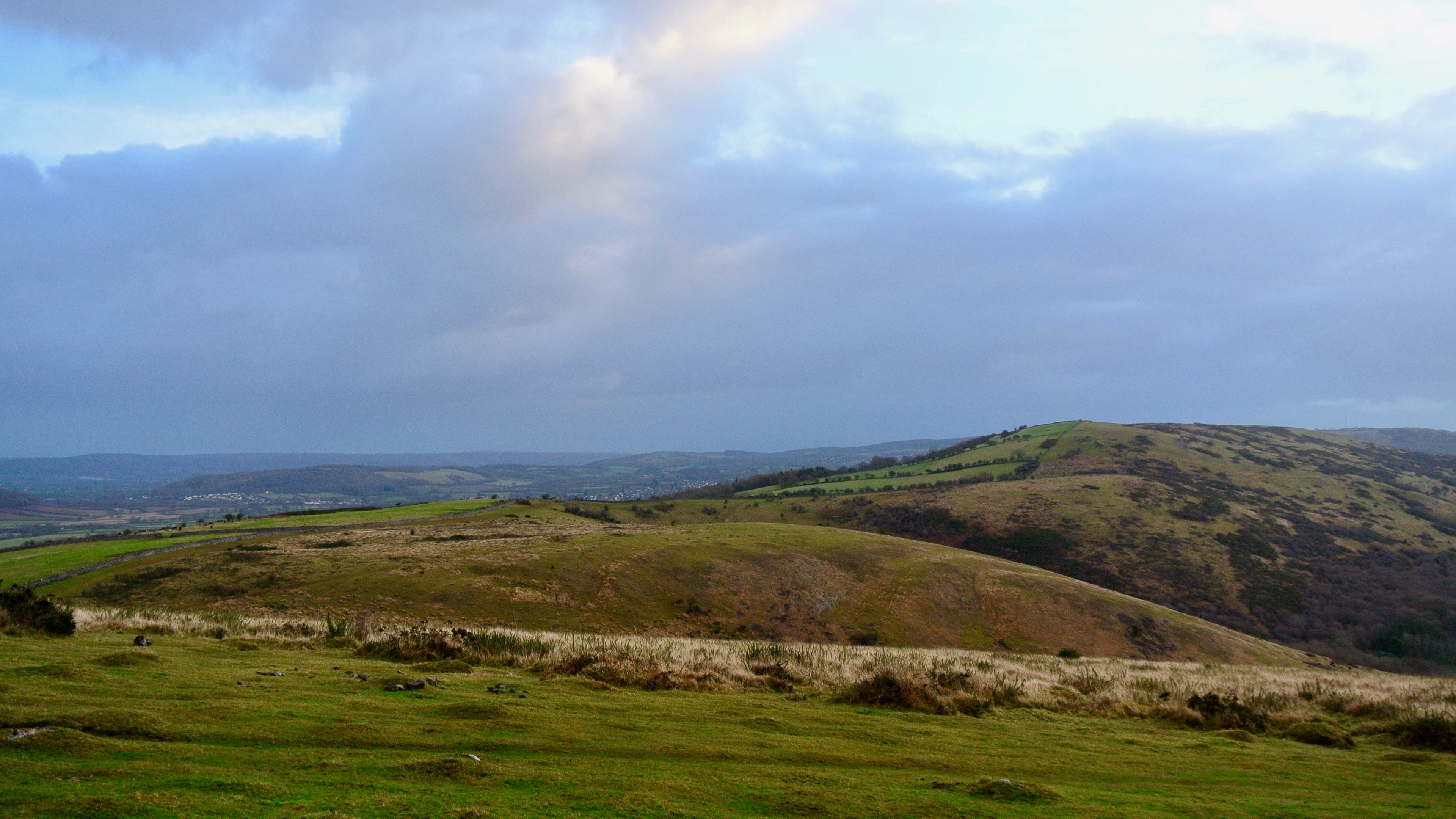
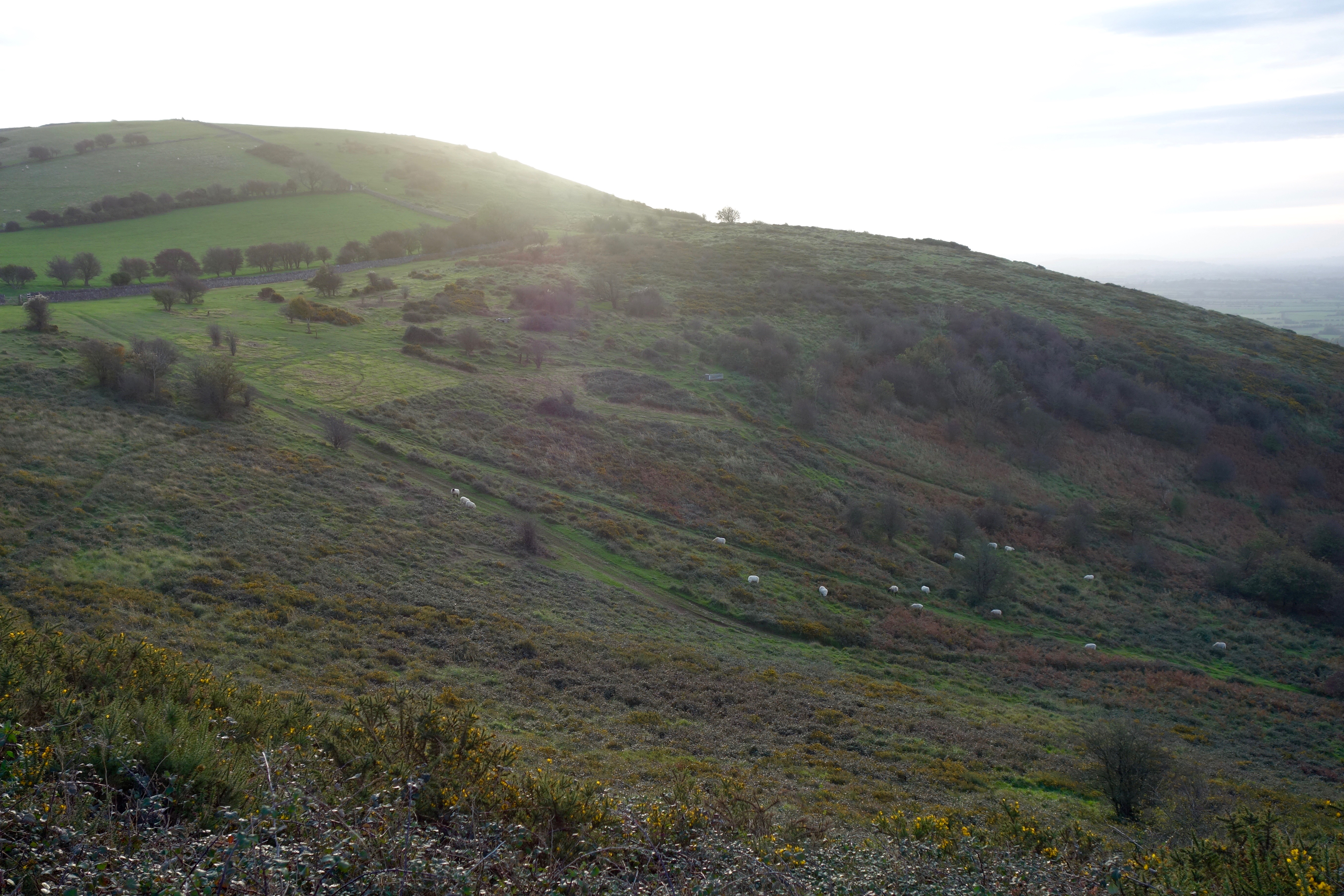
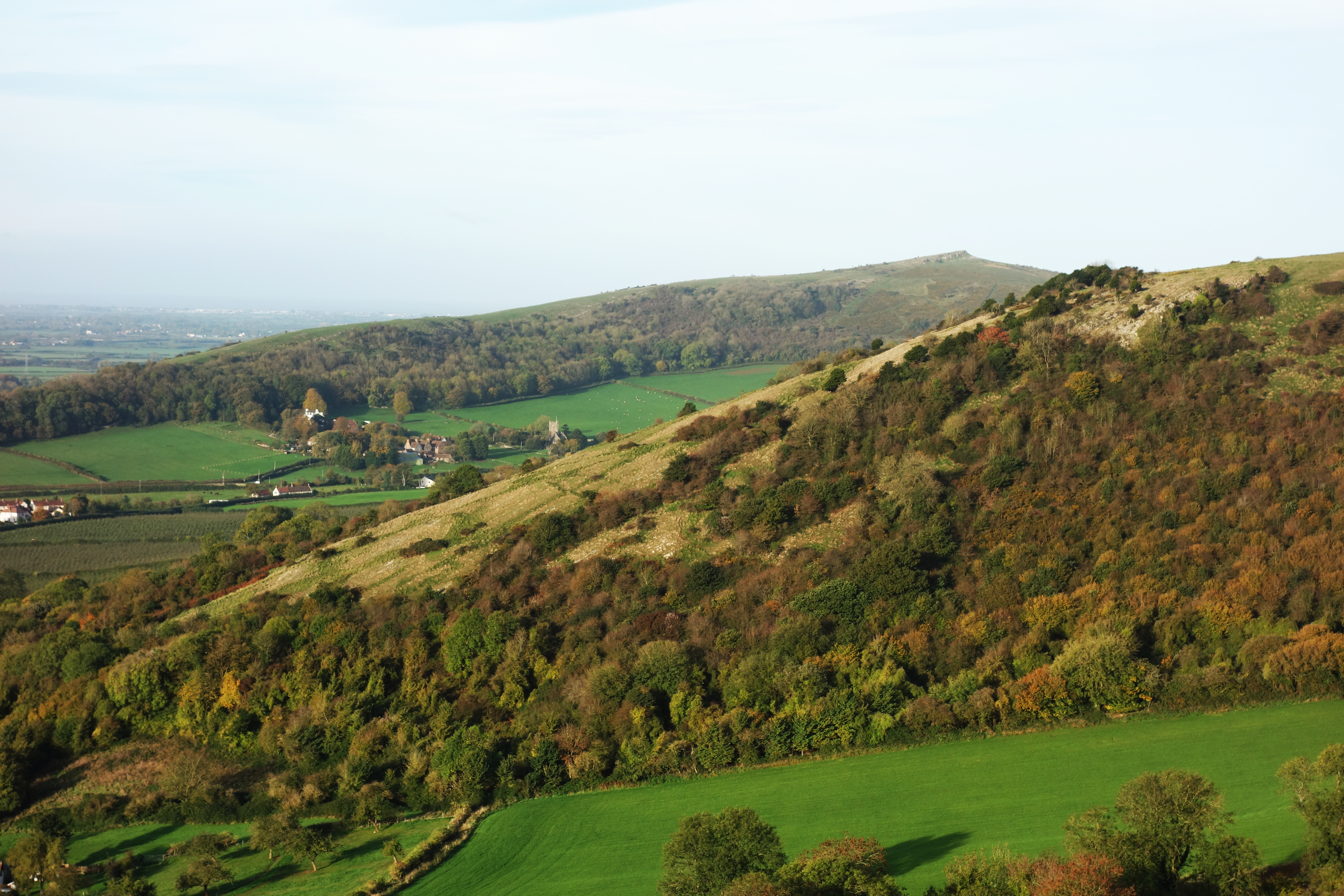
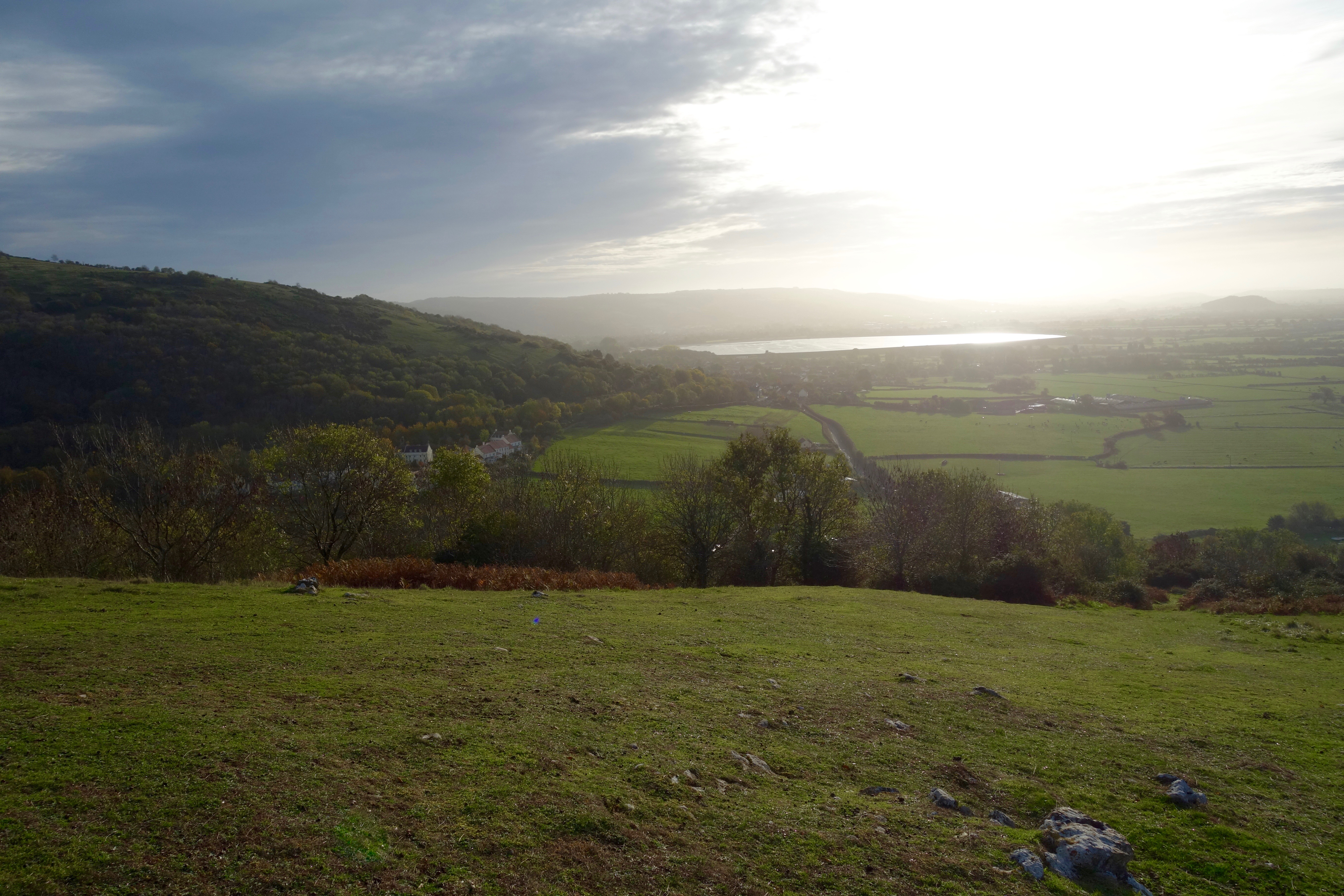
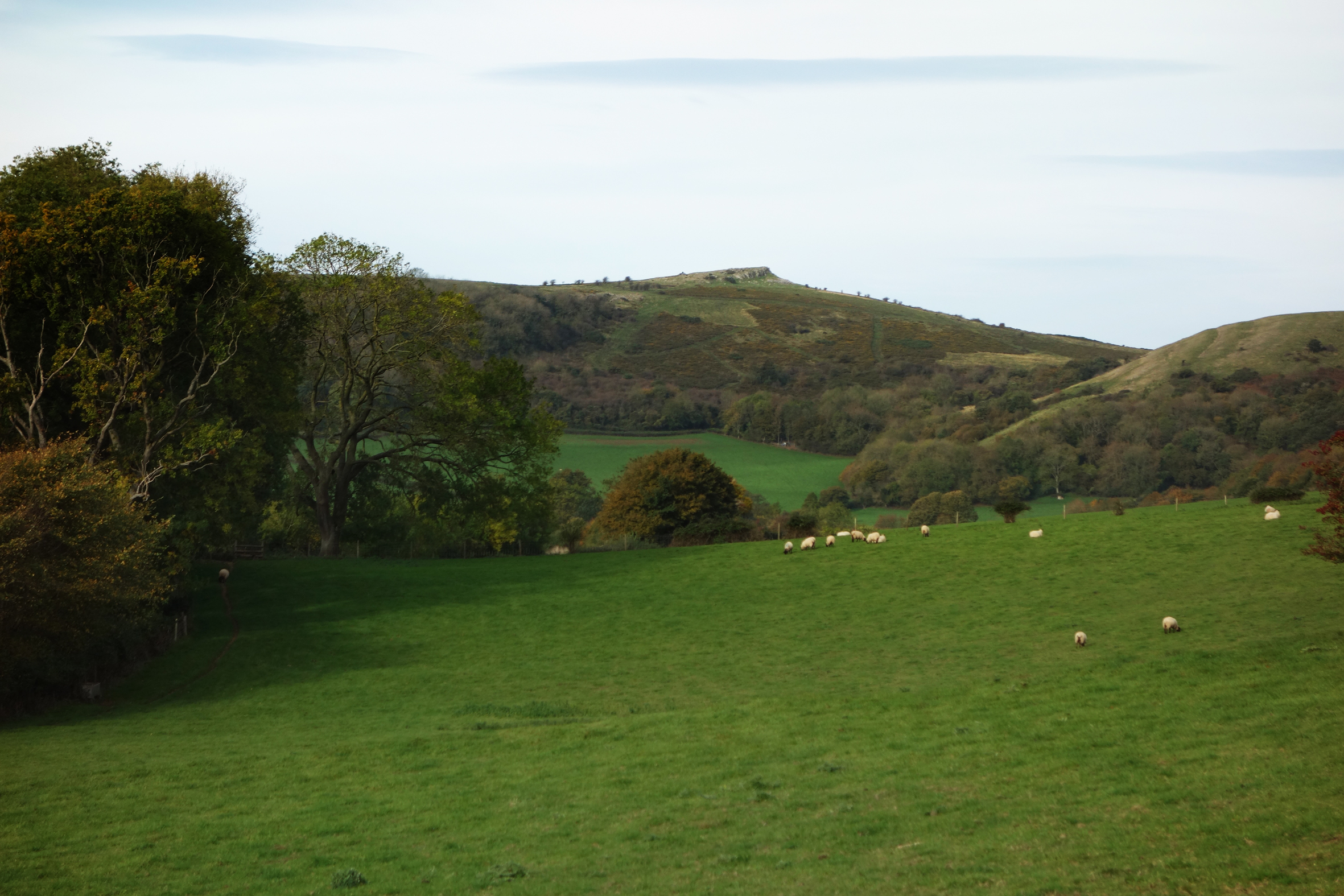
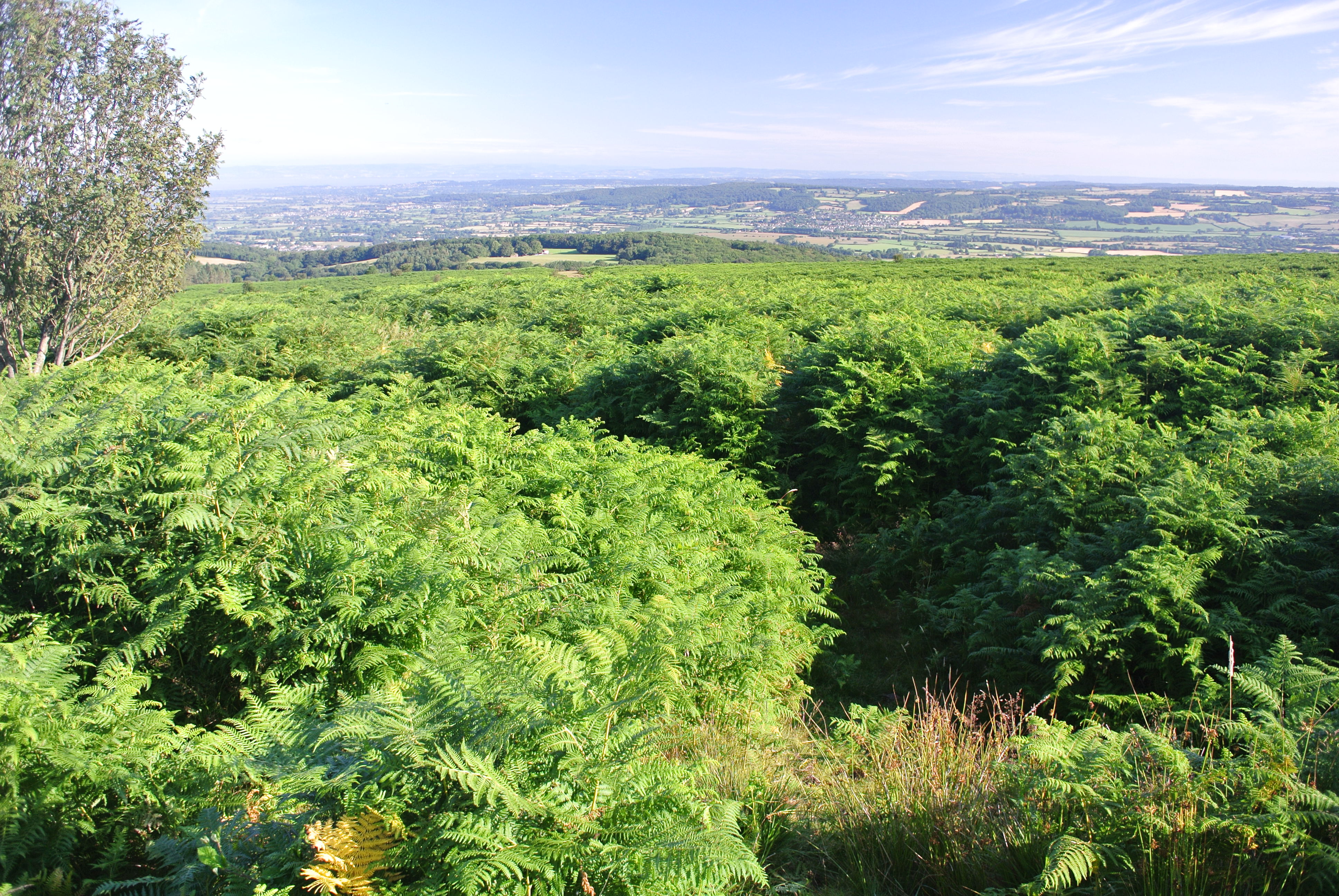
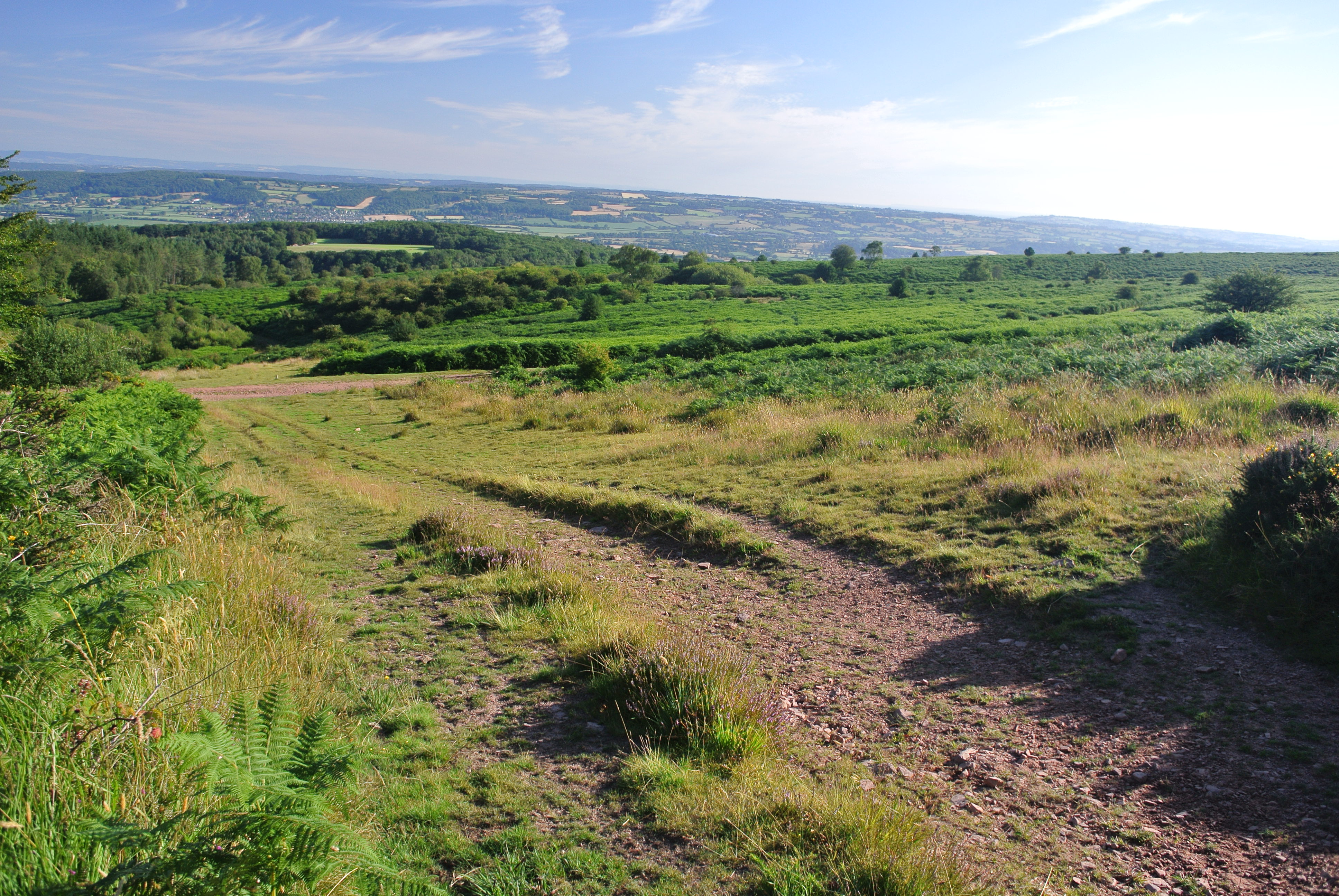
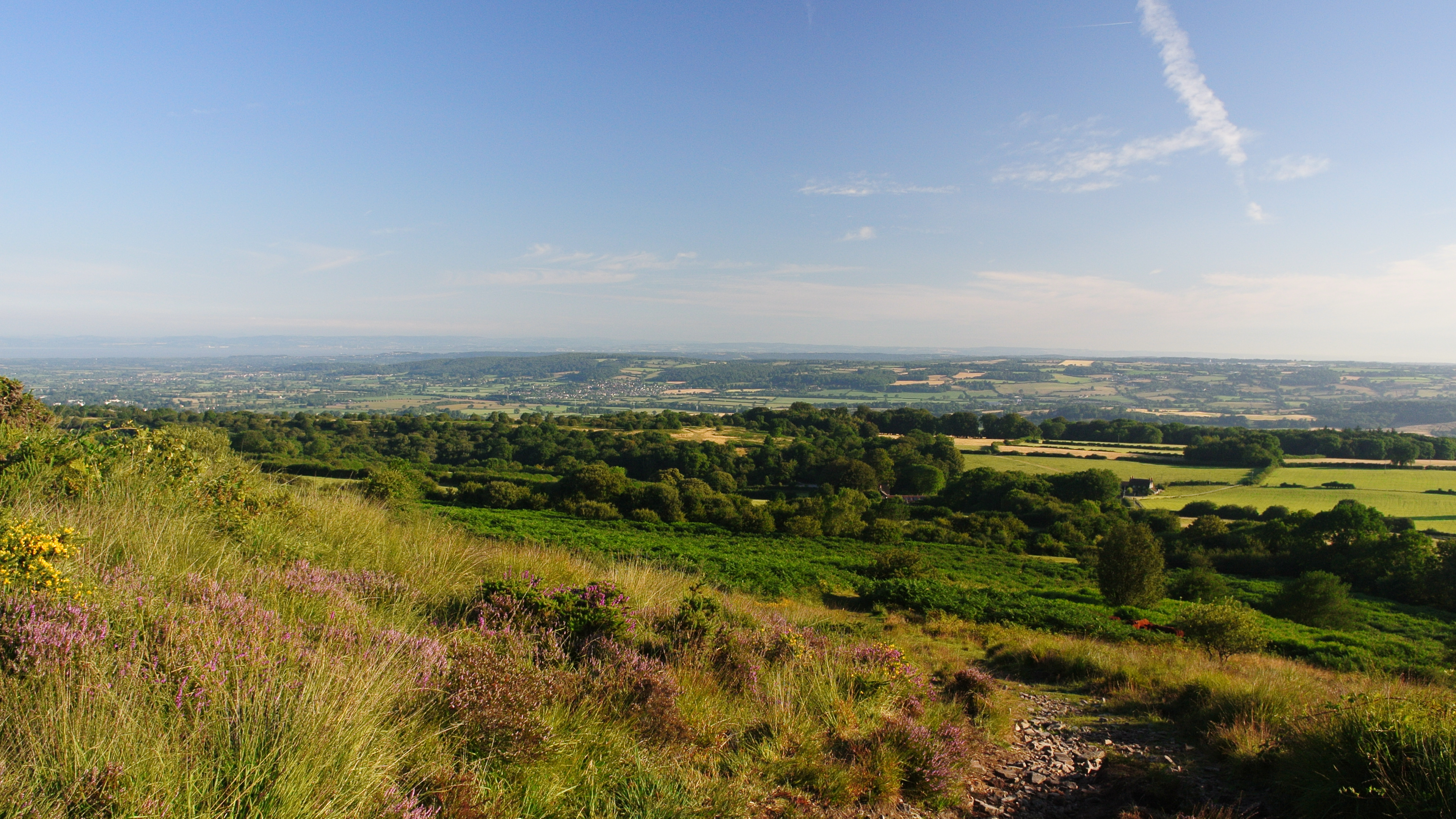
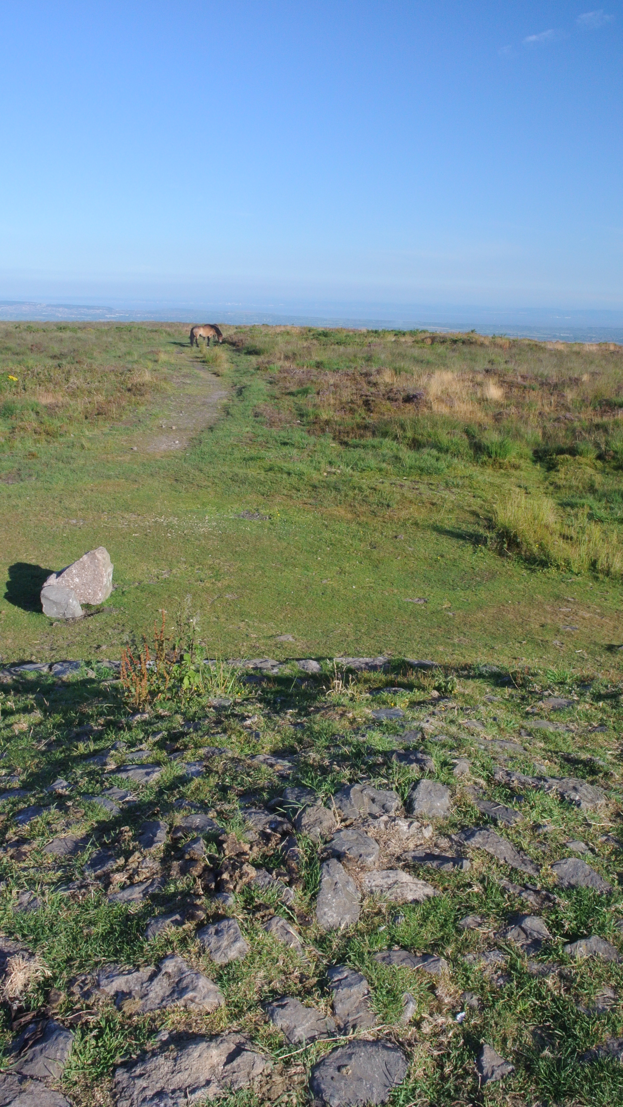
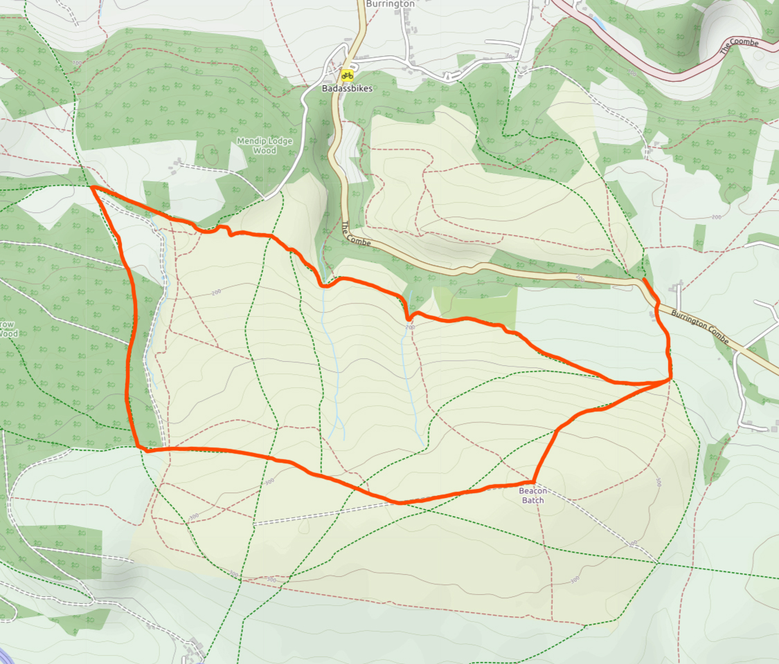
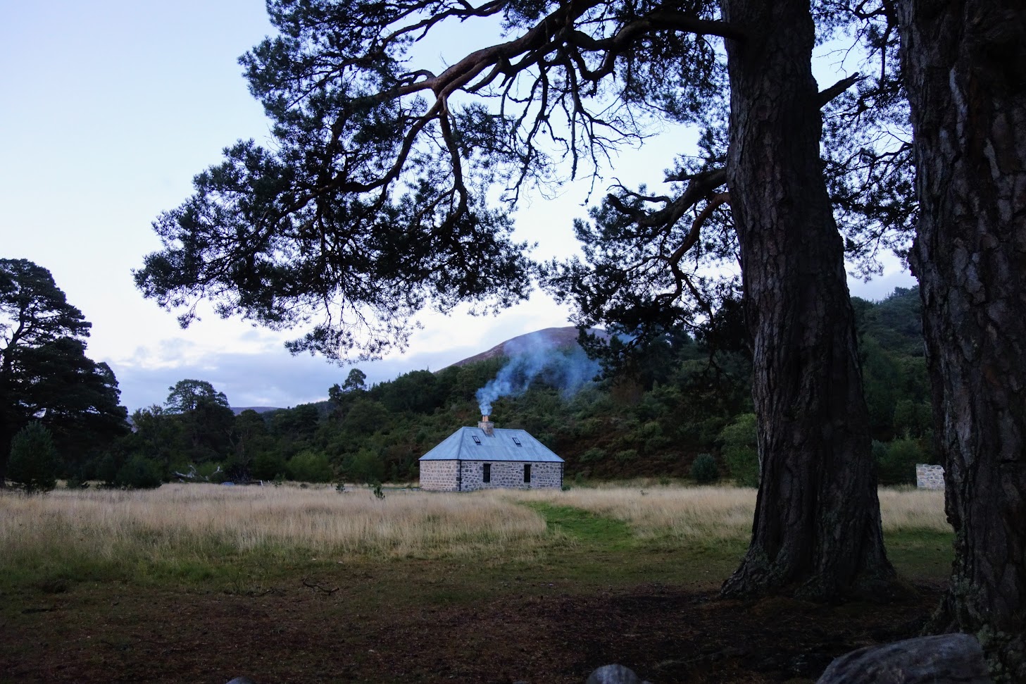
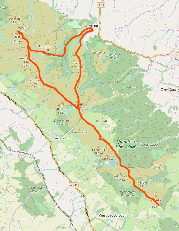
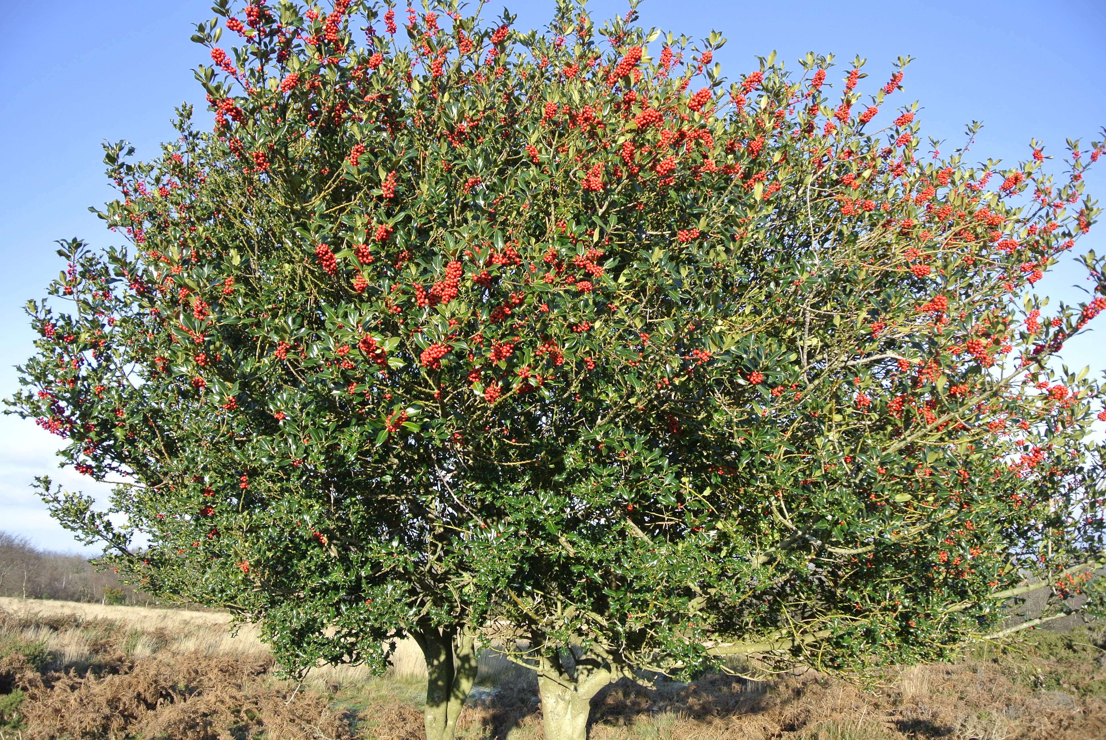
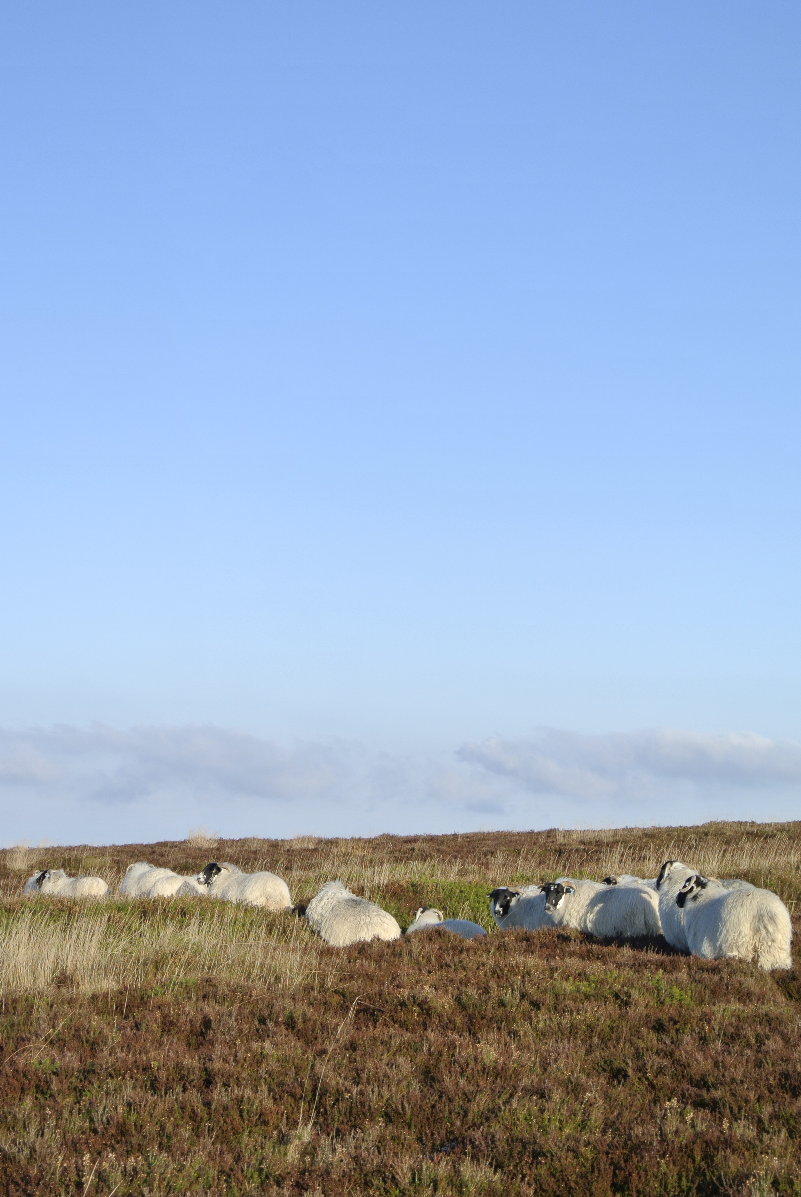
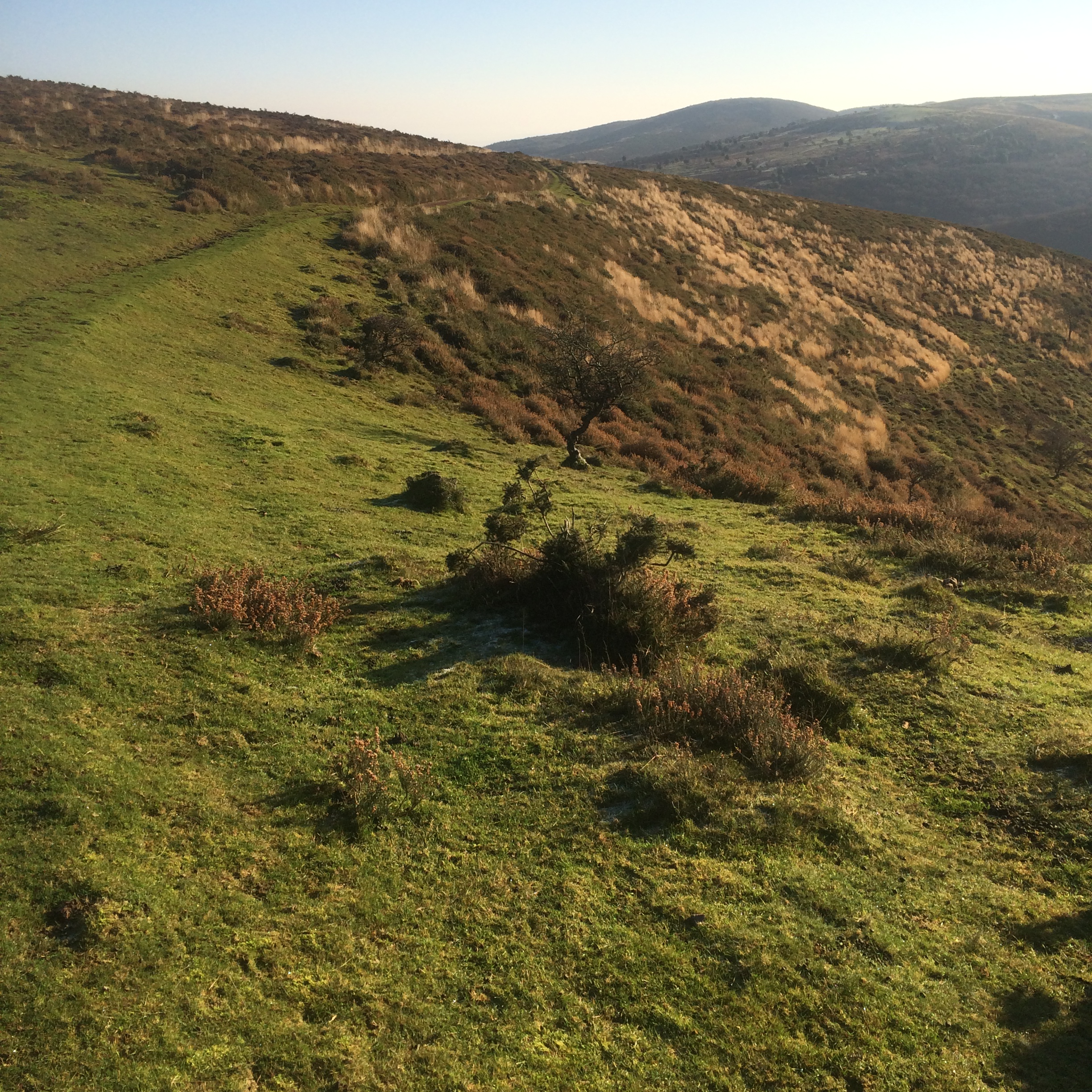
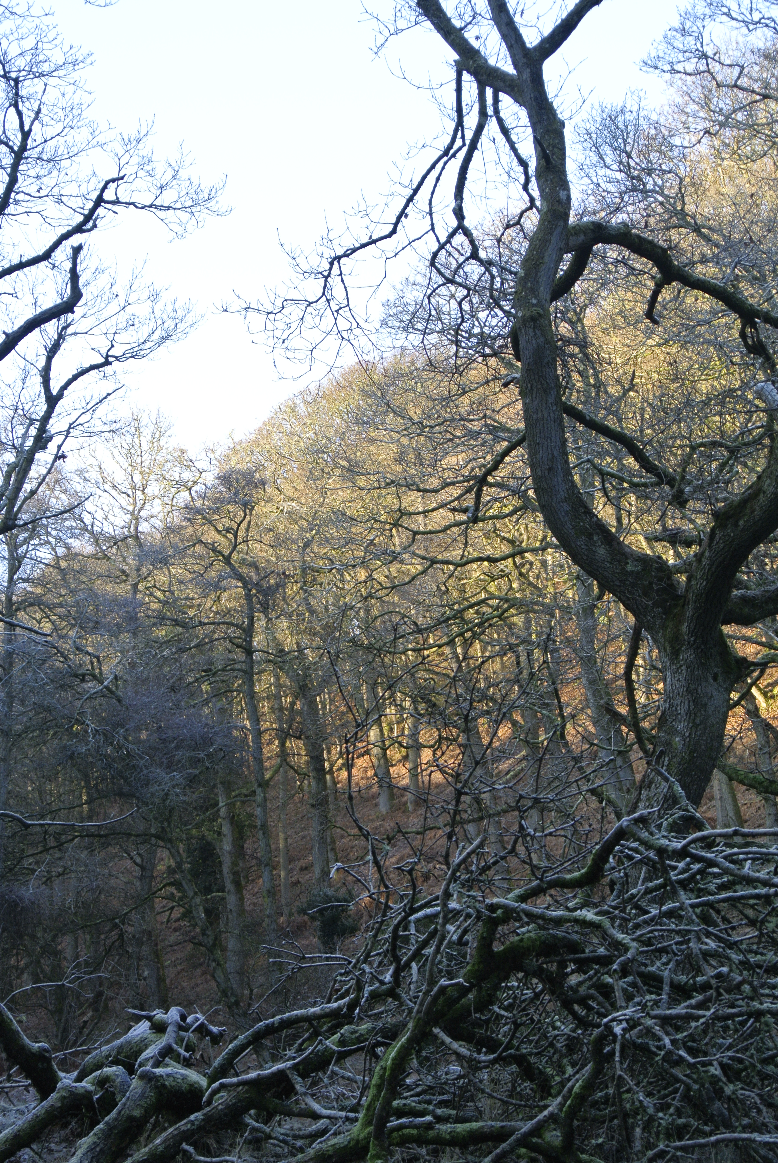
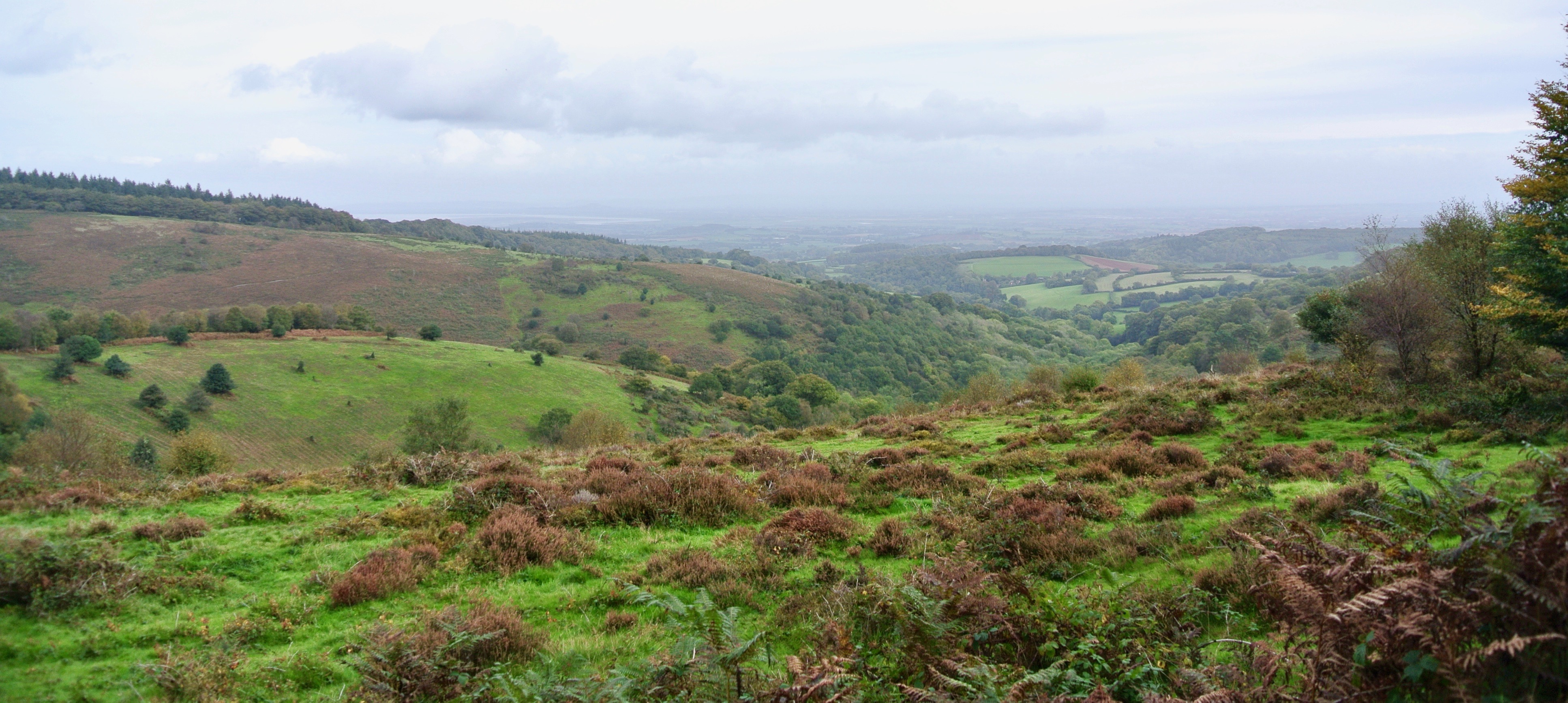
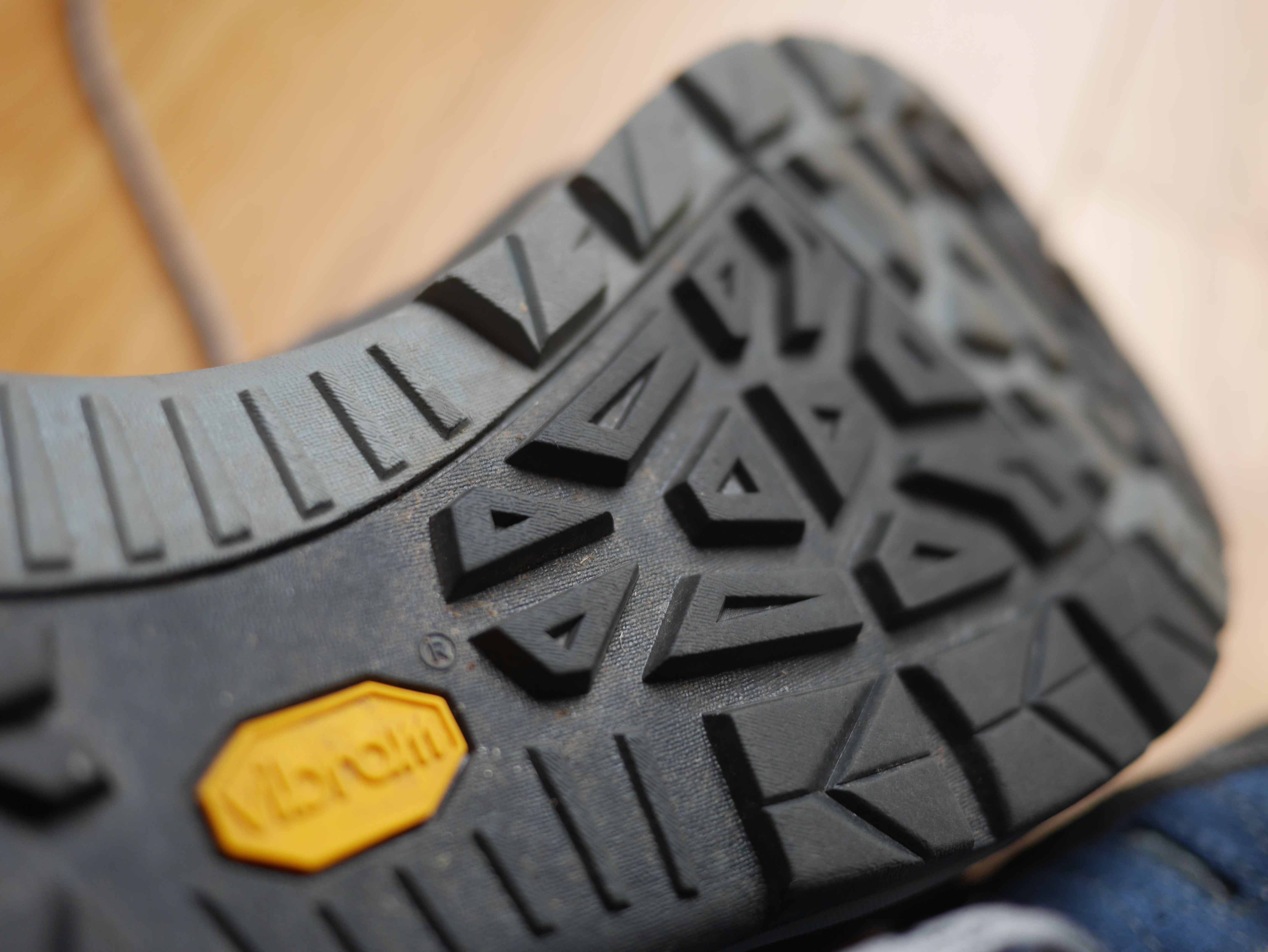
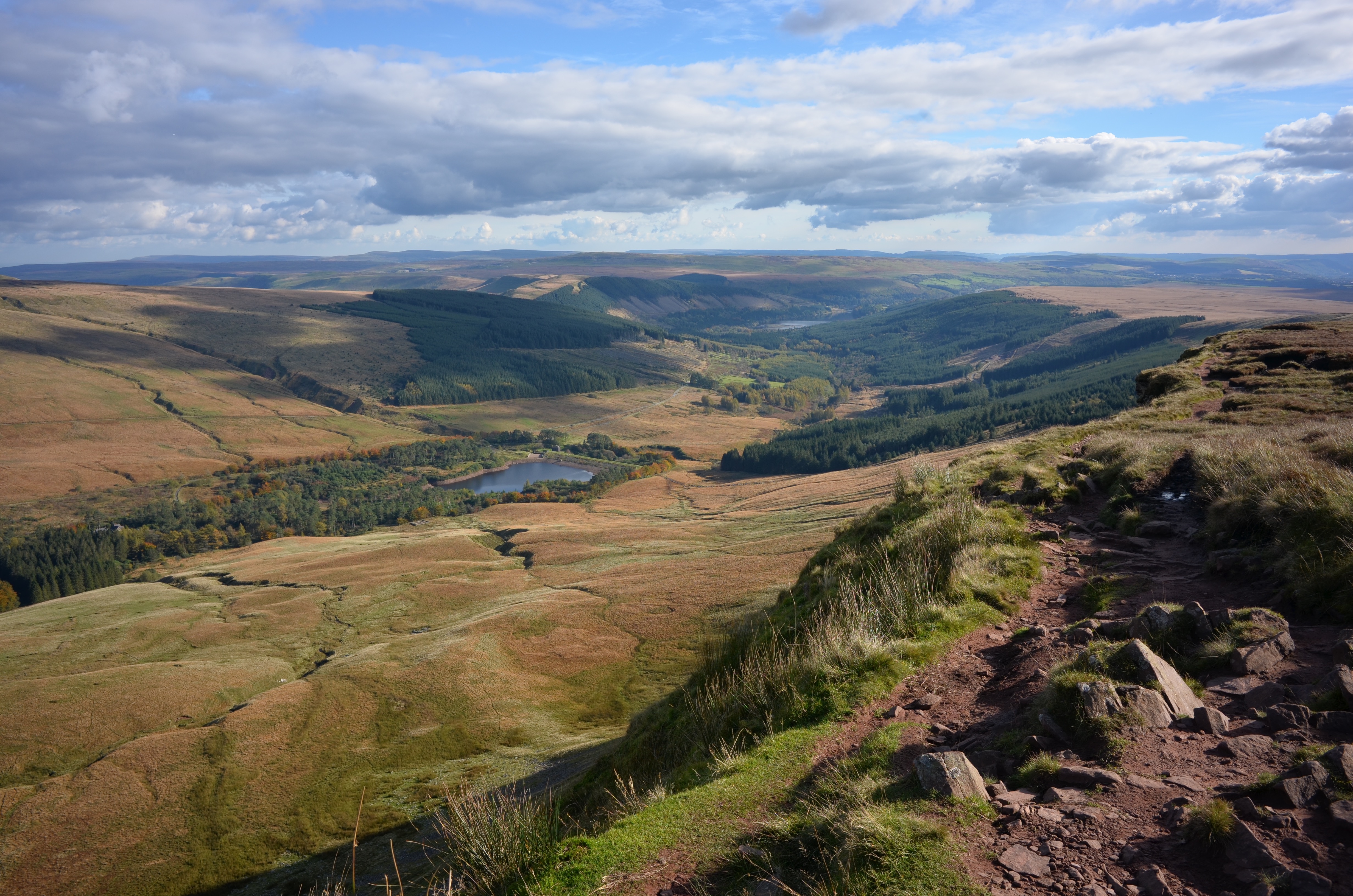
Probably the classic ridge walk in the Southern part of the UK, the Brecon Beacons Horseshoe walk starts with a gradual climb, a couple of tough pulls (made truly worth it for the amazing views if you are lucky with the weather) and a fabulous return to the start point but with a pretty precipitous scramble from the ridge edge to the valley floor. The start and end point for the the 9.5 mile circuit is Pont Cwmfedwen car park (map below). A short hike up a minor road and take the path to the right that rose slowly and steadily to the N on the Western flank of Fan y Big. (There are options on where to start and finish. Choose the one that suits). Three miles from the start having ascended 1500 ft to the scarp edge of the horseshoe, the views to the North open up rewarding your efforts. Turning to the W and scaling Cribyn the views get better. Which is just as well, as the steep descent, then the clamber up Pen y Fan is hard work. We had been incredibly fortunate with the weather during our walk given it was October. At the top of Pen y Fan we relaxed and enjoyed brilliant blue sky and crystal clear views to the N and S back down the valley with barely a murmur of wind, just a light, cooling breeze. From Pen y Fan it’s a pleasant 5 mile descent generally to the S past Corn Du along the edge of the valley with a precarious scramble back into the valley in order to cross the small dam of the lower part of the Neuadd Reservoir system, then rejoining our original path back to our start point. The alternative route having clambered back to the valley would have been to stay on the Western side of the valley and small river and take the path through the pine woods back to the minor road a few hundred feet from the car park. Next time perhaps. It’s a great day walk and if the weather is with you, stunningly beautiful. We were very lucky. Suggest strong trail shoes as a minimum for the walk. Wind shirt, gloves and hat vital, wet weather gear a wise back-up.

DSC_0594
View to the North West of Pen y Fan 

DSC_0603
…and to the South 

DSC_0636
The view West back to the steep valley edge from the lower pond of the Dam system

Screen Shot 2018-10-27 at 12.47.17


‘Upper Nidderdale’ walk – North Yorkshire

Middlesmoor is a small Village at 300m – just under a 1000 ft at the at the upper end of Nidderdale in The Yorkshire dales. It has a dramatic setting with views down the Dale towards Ramsgill and the Gouthwaite Reservoir. There is a small car park just to the N of the village and an excellent 7.5 mile circular path (map below) which in part follows the Nidderdale Way and takes in the high tops and verdant river Nidd valley. DSC_3195

Starting from the car park a broad, walled drove travels roughly NW across the moors rising to 430m – 1400 ft at its highest with brilliant views of the moors disappearing to the West as far as (I think) Great Whernside. The path then descends to the edge of Scar House Reservoir. Cross the dam and the path rises again. Walk a hundred feet or so on the path to the NW then take a right to the E above Scar House. The path continues roughly to the E for about a mile until you cross a stream. Just beyond this point you can go to the N and pick up the upper path across the tops, or follow the Nidderdale Way along the side of the valley. There are various options to go even lower to follow the riverside and several bridges across same. Whichever route you take, the path back to Middlesmoor climbs about 300ft to the SSW from Limley Farm until you meet a lane/path which follows the valley side and leads back to the village and pub. The moors are beautiful but bleak. On a blustery wet day, low lying Heather and Bilberry bushes offer no relief from the wind and rain. Take decent footwear and waterproofs.

Middlesmoor

DSC_3190DSC_3187DSC_3193 2DSC_3201 2DSC_3203 2DSC_3207 2

‘Wavering Down’ walk – Mendips

At 191m – 623 ft, Crook Peak and Wavering Down at 210m – nearly 700ft are dominant hills in the Somerset landscape and two of the most prominent features of the Mendip ridge, the scarp slope rising above the low ground to the South. There are various options for walking here to make your route longer or shorter, wooded or windy.

_DSC0146
Looking West to Wavering Down from Compton Hill

The walk involves a short strenuous pull N.W up to Crook Peak from the Webbington Road (there are a few places to park at the foot of the hill by the National Trust sign), for fabulous 360o views of Glastonbury Tor, the Bristol Channel and… ahem, the M5. Then a simple undulating walk across the ridge with a 200ft pull to the highest point at Wavering Down with fabulous views to the East. Continue W along the straight ridge path as it descends for just under a mile, then take the path to the right heading S through the woods till you reach the Old Coach Road in the village of Cross where there are a couple of pubs. Walk West along the road for a few hundred feet and there is a drove footpath heading N towards a Quarry at the foot of the ridge. Follow the path which runs roughly W from the Quarry and you ultimately come to the village of Compton Bishop nestled in a hilly horseshoe. Take the metalled road S past the Church which turns right just after the Church, bear right at the junction after Vicarage Lane and you end up on the Webbington Road a couple of hundred feet E of the car park.

As an alternative walk off the hill which has great views back to your start point, bear right at the house and gate half a mile E of Wavering Down, walk up Cross Plain and stay on the highest point of the spur until it descends sharply overlooking the houses immediately below, then look out for a pathway to the left entering the edge of the woods. Take the next sharp right and this picks up the footpath into Cross.

Crook Peak_map

_DSC0148
Looking West, back from Barton Hill to Crook Hill

_DSC0151
The view South East across Wedmore Moor towards Glastonbury Tor

_DSC0144

DSC_0136
Wavering Down and Trig Point from Compton Hill

DSC03158

DSC03178 copy
Looking back to Crook Peak from Cross Plain

DSC03183
Looking East From Cross Plain towards Axbridge and Cheddar Reservoir

DSC03188
Approaching Compton Bishop on the homeward leg

‘Black Down’ walk – Mendips

Black Down is the highest area of the Mendip Hills in Somerset, England and Beacon Batch is the highest point at 325m, just over 1000ft. On a clear day it offers fabulous views of the Bristol Channel, the Quantocks, Exmoor, the Black Mountains and Brecon Beacons, Cheddar Gorge and the easyjet planes landing and taking off at Bristol Airport.

DSC_3807

Somerset is home to the tallest sea cliffs in England and the low, flat wetlands near sea level of the Somerset levels. The Mendips AONB rises up from the levels in a 15 mile long wedge towards the Bristol Channel from Wells in the East to Brean Down in the West. The joy of Black Down is that it is ostensibly uncultivated wild heath, predominantly Bracken, Gorse, Heather, Sedges, Rowan and Silver Birch having been left to revert (though its history is one of fascinating human intervention and habitation). It offers a bracing hike on a winter’s day or a fabulous spot to linger with a picnic on a Summer’s day.

My 4.5m walk (map below) starts at the parking place by Burrington Combe. Walk up the road East about 200yds and there is a farmhouse on the right as the road rises and a path adjacent this which takes you South up a wooded path, across the jagged geological fold of limestone that leads to the open heath below the Sandstone of Beacon Batch. It’s a gratifying 400ft pull up the hill to the trig point as the views just improve with each step and at the top a great place to sit and take in the scene or converse with the ponies. The path then heads West across the heath along a straight and recently levelled path before bearing right and dipping towards the edge of the forestry plantation. This used to be my favourite stretch. A gritty meandering path that had something ‘upland’ about it. Sadly it has been ‘improved’ in recent years leaving a horrid muddy scar across the heath. If the weather is with you, the views from this stretch are fabulous. I have seen the white of  a snow covered top of Pen Y Fan before now.  The path reaches a gate which marks the edge of the conifer plantation. Once through this the path continues for a few hundred yards, then takes the right downhill on a rough track between the trees. The character of the walk changes becoming more enclosed. At the bottom of the hill you can choose to extend your walk to take in the outcrop and hill fort of Dolebury Warren. Otherwise, turn right and the route proceeds East along the slope of a bracken filled valley with views of the scree slopes of Burrington Combe, normally populated by agile goats. The route climbs steadily for the next mile or so, finally reaching the outward route at the boundary of the heath.

DSC_3805DSC_3787IMG_0045DSC_3806DSC_3795DSC_3791Black Down

Eat to Live

I have owned a number of stoves over the years. In the old days, the classic Camping Gaz stove, Optimus 8r or Hex burner. More recently the Trangia meths burner and most recently the Jetboil system. I love this stove. I don’t cook when backpacking. I eat some fruit, energy bars, nuts/raisins and I heat water, which I add to rehydrate dried food that comes in sachets or to a tea bag. In that way the weight stays low, my kit stays pretty clean and I just have to take home some empty packaging. The Jetboil serves the purpose well. It takes about 6 minutes to boil 1 litre of water, enough for two courses, a cup of tea and leaves a little water for the nominal clean up. It is self contained and stable. I do use a foil windshield if windy. I also have the smaller version (in the pic camping in the Lairig Ghru) but use this less often. The original has the self contained igniter which has worked pretty well to date though I haven’t thrashed it. I do carry a lighter or steel should it fail. I gather the newest Jetboil, the ‘Flash system‘ boils 1 litre in 100 seconds. That’s impressive.IMG_2125 2


September in Glen Feshie

A few precious days off and I arrived in the Highlands fresh and raring to go. A short drive to Aviemore to buy fuel and the Cairngorms awaited. The intention had been to walk a big loop South from the Achlean Car Park into Feshie, East through Geldie Burn then North through the Lairig Ghru to Coylumbridge but I was carrying a back injury which made me modify my three day plan. At least I could spend some time in the Cairngorms. Glen Feshie was spectacular, just beginning to show Autumn colour.

DSC02946

The Glen has benefited in recent years from a process of rewilding resulting in a naturally regenerating forest of Scots pine, birch, Juniper and Alder. It is a spectacular example of how rich the natural environment can become in a relatively short time. The Ruigh Aiteachain bothy looked seductively smart following its renovation but I wanted to spend the night under canvas. A late afternoon pitch, still night and a late morning start felt luxurious. Glen Feshie is somewhere to linger, listening to chattering Geese, taking in the massive bulk of the hills or the tiny, jewel like flora and fungi, or just contemplating the mesmeric tumble of the peaty River Feshie. I met Mark, a photographer who had slept in the bothy and enjoyed a leisurely brew and chat about his exploits in Alaska and patagonia and mine a little more local. An unburdened walk up the Glen to the shadow of Creag na Gaibhre in the morning sun was fabulous. Then back to pack up gear and return to the car with my overstuffed 33 ltr pack. Lesson for the future: take less or a larger pack. With that in mind, once health and time permit, I’ll be back soon to walk the 40 miles of the original plan. Can’t wait.

DSC03011
DSC02950
DSC03005
DSC03018
DSC03040

My Vaude Hogan tent. Stormworthy but very small.

DSC03032
DSC03028
DSC02981

Flat Ridge Society

There is a joy to be found in a long walk on the flat. Particularly with advancing years. Occasionally it’s great to find walks with great views and features that don’t have too arduous an approach. I love hills and have climbed many a Munro but a brisk day’s walk on a clear Autumn day with a pleasant descent at the end to pub or car is a good day for me. It’s also ideal if taking friends of mixed ability or kids. A few ups and downs enroute add to the adventure while not sapping morale.

One of my favourite mornings out is walking the 8.5 mile ridge of the Quantock hills  starting from the Car Park below Lydeard Hill, East of West Bagborough, walking roughly North west to Beacon Hill, then doubling back off the ridge to the village of Holford to the North East via Sheppard’s Combe (map below). It takes in wide vistas of Somerset and South Wales from the Beacon Hill and the more intimate landscape of the steeply wooded watery Combes running down to Holford. If you want to walk back to the start rather than taking a cab (there are no buses), take the route South West from Holford, back up to the ridge via Holford Combe or Black Hill, which picks up the route back to Lydeard Hill.

dsc_0149.jpgQuantocks_DSC5207

_DSC5186IMG_0421_DSC5181_DSC5197DSC_5417DSC_5404DSC_2375

Garmont ‘Trail Beast’ shoe

P1740405

My aged feet aren’t in bad shape but they lack the spring in their step that I used to take for granted and a recent episode of plantar fasciitis, which wiped me out for months, highlighted my need to stretch more all the time and find a shoe or boot that looked after my most valuable asset as a walker. I also have disc problems which has impinged on the sciatic nerve and deadened the nerves in my left foot, which make fitting shoes all the more difficult.  I have boots and any number of shoes which I try for a while but which always seem to fail. So I was fortunate to find Garmont’s ‘Trail Beast‘ shoe on sale with Massdrop. I bought two pairs in the blue as they were discounted hard and reviewed well. They come with or without Gore-tex and I now have both. I find the Gore-tex version a little sturdier. The upper features a lot of thick suede which must improve of the life of the shoe as compared to netting or nylon. It has a suede rand a great toe bumper that wraps the big toe, rather than stopping where the big toe would eventually break through the fabric of the shoe as is the case with my Inov8 shoes. At less that 1kg for the pair, It’s largish toe box and asymmetric features suit me for sure. It has a Vibram ‘Megagrip’ sole though the lugs aren’t particularly deep. I even found the insole they came with more than supportive for me so have kept this rather than upgrading.  I think this a testament to the design and build of the shoe as a whole. They come with a couple of bizarre foam insets that adhere to the underside of the sole to raise the arch, I have used them but can’t say I have noticed any benefit. The Trail Beasts were quite unyielding when new but worn for a while they have become super comfy and supportive for long, stony Scottish trails. So far so good. A 9/10 from me. UPDATE: I thought I was unlikely to improve on these for my foot shape but lo! I recently converted to the Salomon X Ultra and won’t be going back.

DSC03015
P1740408 2